



























Goddard Environmental Management Division
The Goddard Environmental Management Division (EMD) (Code 250)
News and Events
September 22, 2026: Pacific Missile Range Facility (PMRF) and the Kōke‘e Park Geophysical Observatory (KPGO) Real Estate Action
The National Aeronautics and Space Administration (NASA) and the U.S. Department of the Navy (Navy) have jointly prepared a Final Environmental Impact Statement (EIS) to evaluate the potential environmental impacts of proposed real estate agreements with the State of Hawai‘i for the Kōke‘e Park Geophysical Observatory (KPGO) and the Pacific Missile Range Facility (PMRF).
On September 14, 2026, Governor Josh Green issued an emergency proclamation in response to recent hurricanes affecting the Hawaiian Islands, Second Proclamation Relating to September 2026 Tropical Cyclones. On September 15, 2026, the Department of Land and Natural Resources announced that the deadline for BLNR’s determination on the Final EIS has been suspended pursuant to the emergency proclamation. BLNR stated that it will notify the public of significant developments in the environmental review process, NR Deadline Suspended for Pacific Missile Range Facility and Kōkeʻe Park, Sep 15 2026
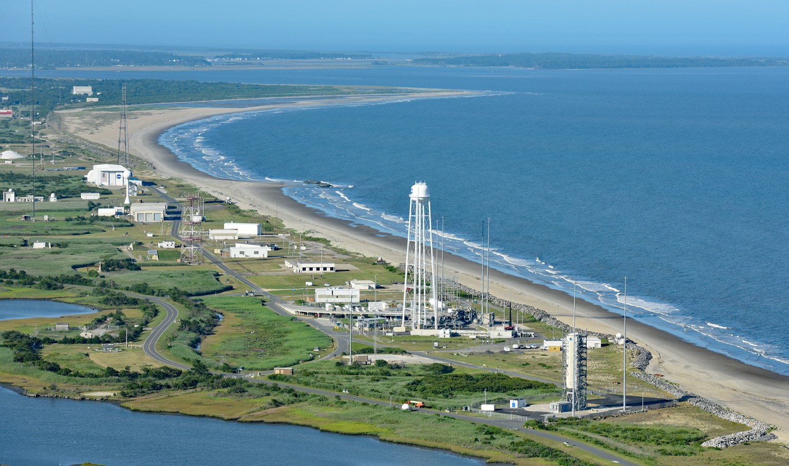
September 15, 2026: Wallops Island Shoreline Protection Program
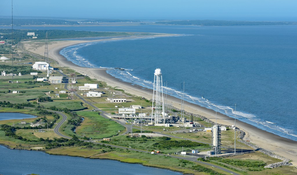
NASA has prepared a Final Environmental Assessment (EA) for proposed shoreline protection at Wallops Island. All comments received during the public review of the Draft EA were considered during development of the Final EA. On September 15, NASA issued a Finding of No Significant Impact (FONSI) for the program. The Final EA, FONSI, and background information on this project are available on the Shoreline website.