Natural Resources at Wallops
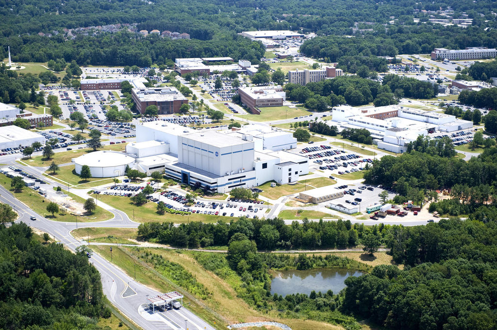
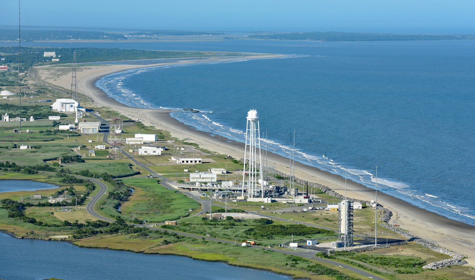
NASA’s Wallops Flight Facility in Virginia consists of three land masses: the Main Base, Mainland, and Island. Habitats within these areas include dune systems, maritime forests, salt marshes, swamps, thickets, upland grasslands, and upland forests. Specifically, dune systems, maritime forests, and salt marshes are found on Wallops Island, and salt marshes, swamps, thickets, upland grasslands, and upland forests are found on Wallops Mainland and the Main Base.
Program Manager: Lori Levine
Endangered Species Act (ESA)
As a federal agency, Wallops is held to the terms and conditions of the ESA. The ESA was designed to protect species designated by the U.S. Fish and Wildlife Service and the National Marine Fisheries Service as threatened or endangered. It prohibits the “taking” of a protected or endangered species.
Taking is defined as harass, harm, pursue, hunt, shoot, wound, kill, capture, trap, or collect. Harm can be defined as “an act that actually kills or injures wildlife.” Such an act may include significant habitat modification or degradation where it kills or injures wildlife by significantly impairing essential behavior patterns, including breeding, feeding, or sheltering.
- Actions by individuals which result in an intentional “take” may result in penalties of up to $100K and one year in prison.
- Actions by organizations which result in an intentional “take” may result in penalties of up to $200K and one year in prison.
Protected and Special Status Species at Wallops
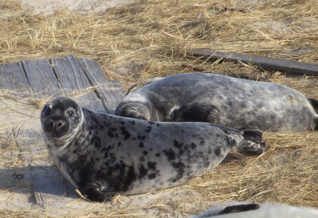
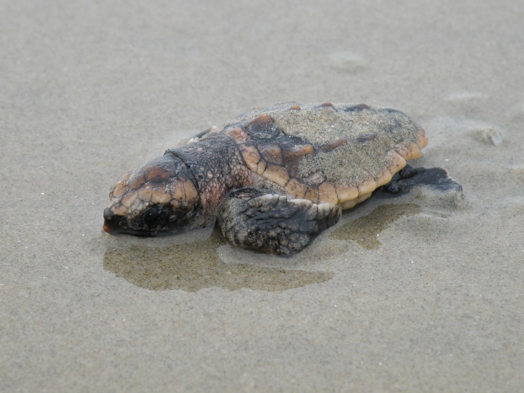
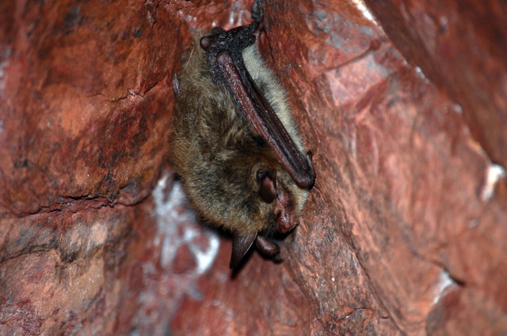
Special-status species include any species that is listed, or proposed for listing, as threatened or endangered by the United States Fish and Wildlife Service (USFWS) or National Oceanic and Atmospheric Administration (NOAA) Fisheries under the provisions of the federal ESA; species protected under other federal laws including the Bald and Golden Eagle Protection Act (BGEPA) or the Migratory Bird Treaty Act (MTBA); species considered to be threatened or endangered under Virginia’s ESA; or those species or habitats of conservation concern identified by the Commonwealth of Virginia. Marine mammals are also protected under federal regulations and are discussed later in this section.
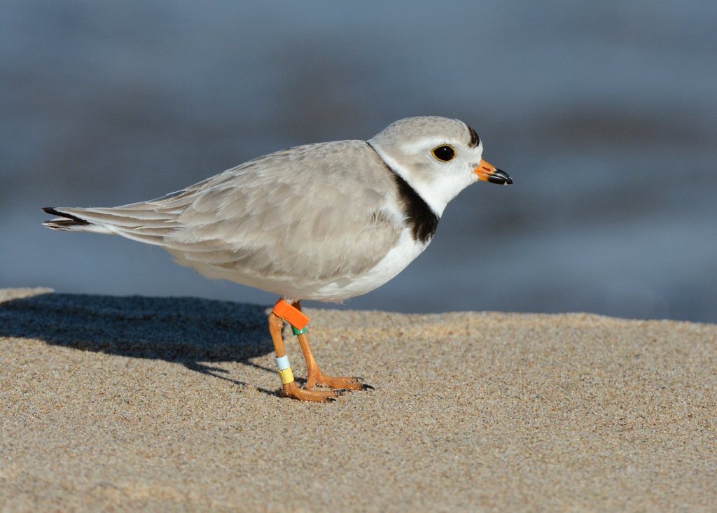
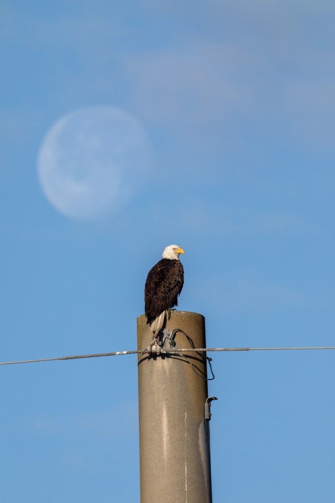
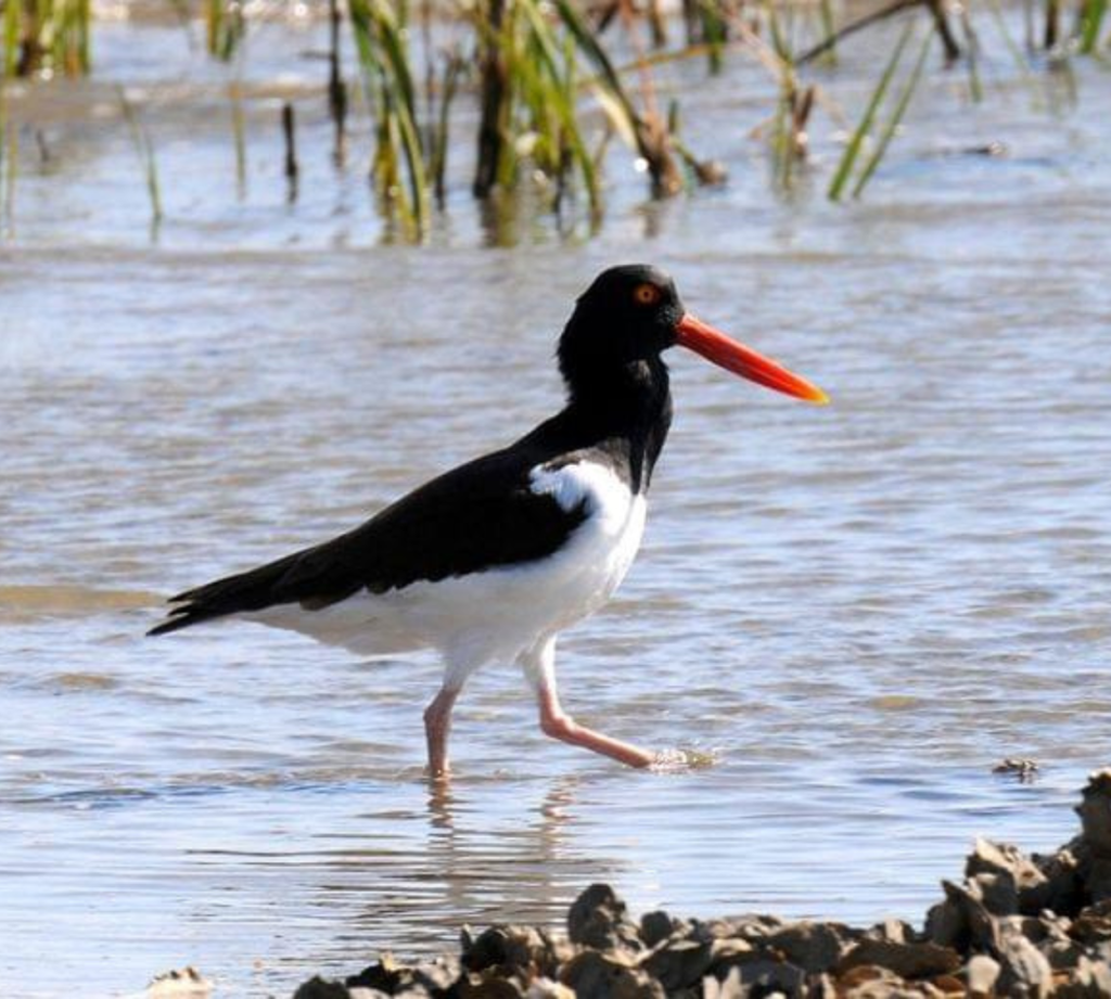
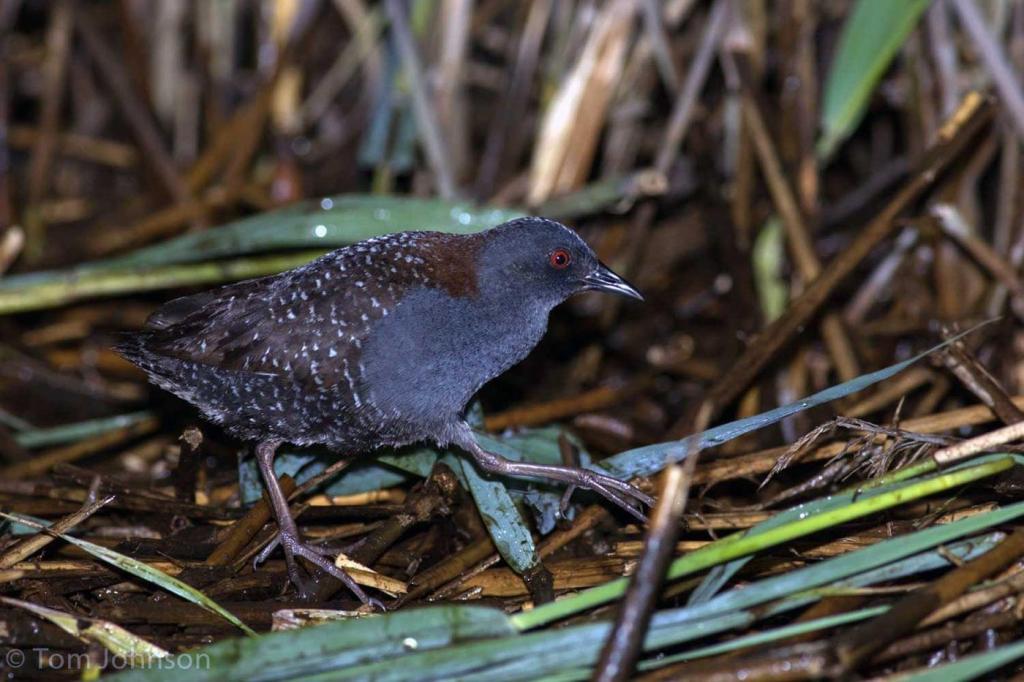
Several protected species can be found at Wallops depending on the season. Some of these species can be found in the carousel of images below.
Current Protection Measures
Under Section 7 of the federal ESA, as amended (16 U.S.C. 1531-1544), federal agencies, in consultation with the USFWS and NOAA Fisheries, are required to evaluate the effects of their actions on federally-listed species of fish, wildlife, plants and designated critical habitat and to take steps to conserve and protect these species and habitat.
The Virginia ESA (29 VAC 1-563 – 29.1-570) is administered by Virginia Department of Wildlife Resources (VDWR) and prohibits the taking, transportation, processing, sale, or offer for sale of any federally or state-listed threatened or endangered species. As a federal agency, NASA cooperates with VDWR to ensure that its activities are conducted in a manner which minimizes potential adverse effects on species listed under Virginia’s ESA.
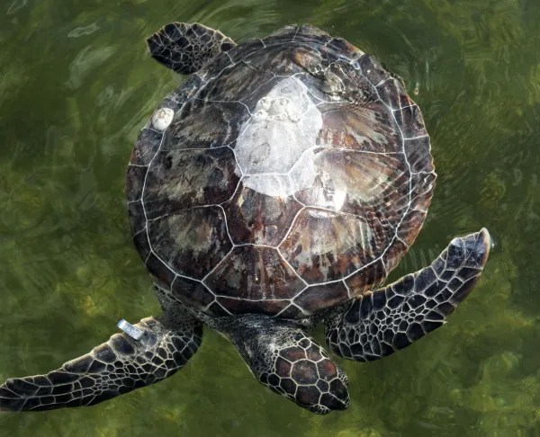
Each year, in cooperation with the USFWS, Wallops closes portions of Wallops Island to help protect nesting piping plovers, designated as a federally-threatened species under the ESA. Piping plovers typically begin to arrive at Wallops Island in mid to late March and leave by early fall. The MEMD monitors the Wallops beaches regularly for nesting plovers. Additionally, post-launch beach monitoring is conducted after each mission during nesting season to ensure that no protected species are affected by launch operations. This includes searching for birds, as well as marine mammals and sea turtles that have the potential to be affected.
Stranded Marine Animals
Marine animals may occasionally become stranded on the Wallops Island beach. If you see a stranded marine mammal (dolphin, seal, whale, etc.) or sea turtle, contact the following:
- Lori Levine at lori.m.levine@nasa.gov or 301.286.6741 or
- Shane Whealton at jonathan.s.whealton@nasa.gov or 757.824.1090
- If no response, please contact Security at the Wallops Island Gate 757.824.2780.
Remember: it is illegal to harm or harass threatened and endangered species and marine mammals. DO NOT approach the animal and stay at least 150 feet away.
Wetlands
In general terms, wetlands are lands where saturation with water is the dominant factor determining the nature of soil development and the types of plant and animal communities living in the soil and on its surface. Wetlands are transitional areas between terrestrial and aquatic systems where the water table is usually at or near the surface or the land is covered by shallow water.
The wetlands at Wallops are part of an extensive ecological wetland network found within Accomack County. As part of their Comprehensive Plan, Accomack County has mapped approximately 109,510 acres of tidal wetlands located within the County. The 3,340 acres of tidal wetlands occurring at the Wallops comprise 3.04 percent of the extensive tidal wetlands systems located in the entire County.
Wildlife Management
The U.S. Department of Agriculture (USDA), Animal and Plant Health Inspection Service’s (APHIS) Wildlife Services Division performs the Bird/Wildlife Aircraft Safety Hazard (BASH) program on NASA’s behalf. The purpose of the program is to mitigate short- and long-term hazards to aviation. Program objectives include reducing the attractiveness of Wallops to birds and wildlife by minimizing food sources, nesting sites, and roosting habitat within the airfield clear zones.
Additionally, Section 15.2-2204 of the Code of Virginia directs the Accomack County Planning Commission to consult with Wallops prior to changing the zoning of, or approving certain uses of, properties within 3,000 ft of the Wallops boundary. Related to BASH, Wallops works with Accomack County to ensure that aviation safety is considered when siting water reservoirs, parks and golf courses with artificial ponds, waste handling facilities, animal processing facilities, and landfills that would attract birds and wildlife, potentially creating an aircraft strike hazard.
Who do I call for dangerous, nuisance, dead or dying animals?
Contact the Goddard Protective Services Division.
For non-life-threatening incidents call 757-824-1300.
For emergencies, call 911 from a campus phone or 757-824-1333 from a cell phone.
Documents
| Title | Format | Date |
|---|---|---|
| Protected Species at Wallops: Training and Awareness (2025) | 2025 | |
| Historical Wallops Island Nesting | 2020-2024 | |
| Wildlife Management at Wallops | 2019 |