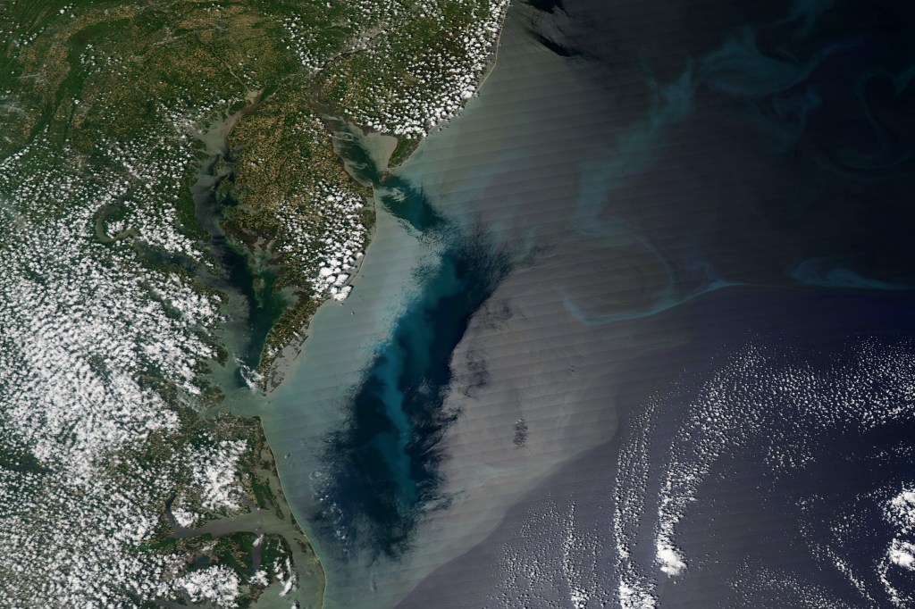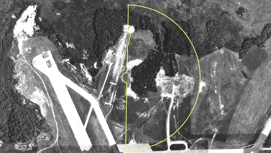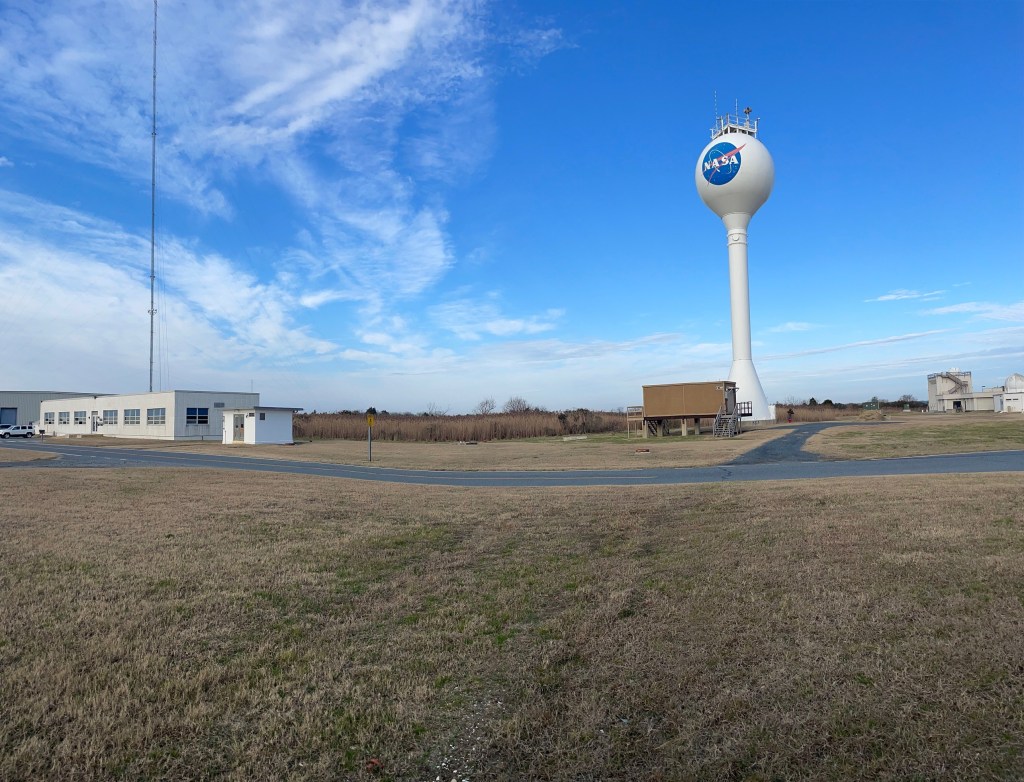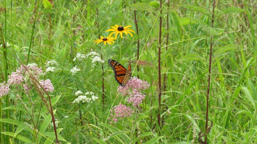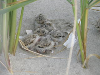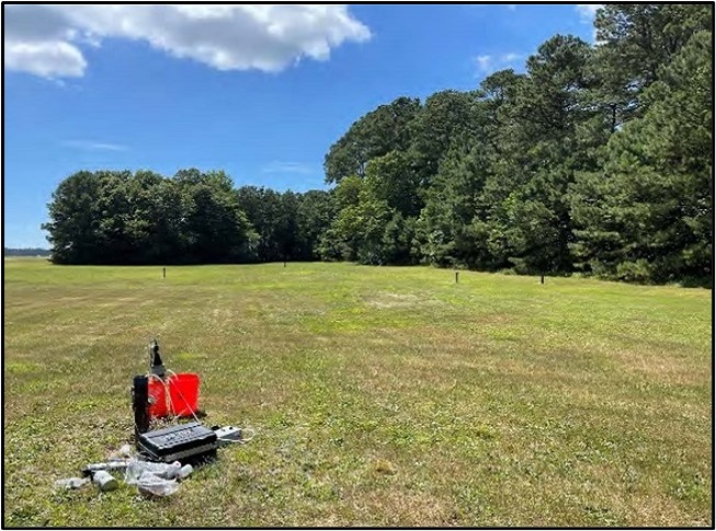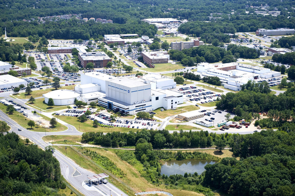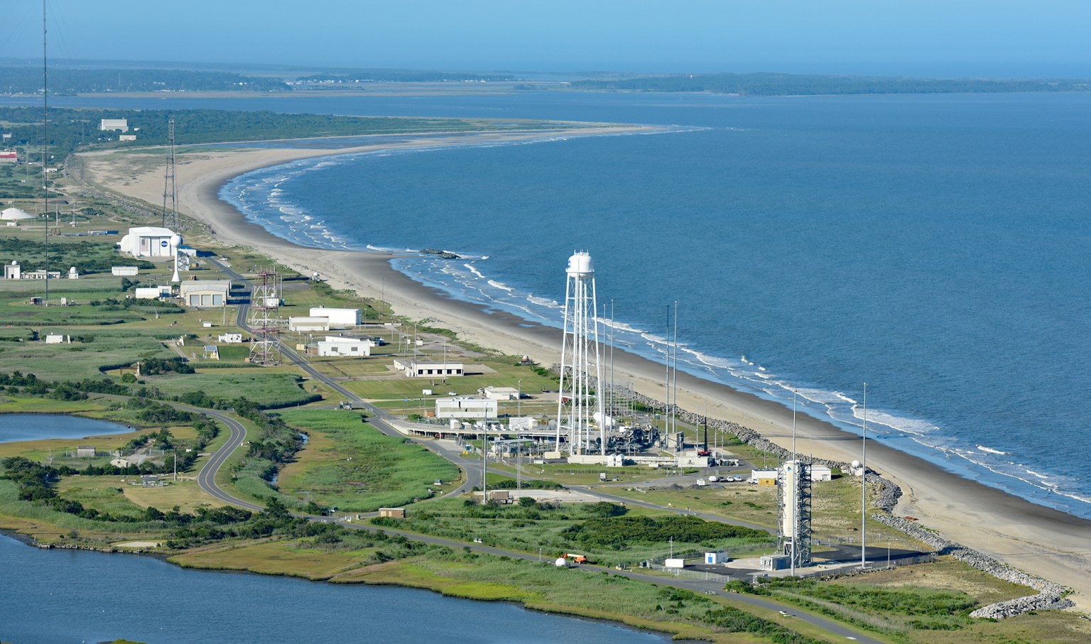


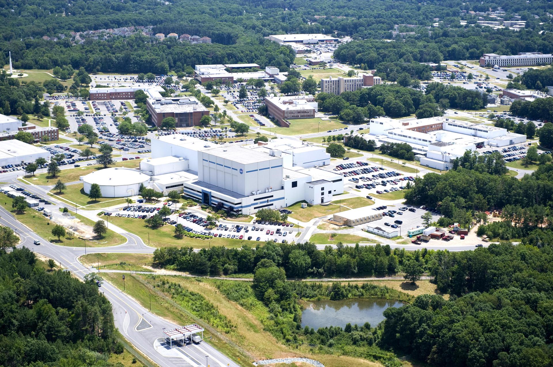

Goddard Environmental Programs
Environmental Management program areas for NASA’s Goddard Space Flight Center’s Greenbelt and Wallops sites.


Environmental Management program areas for NASA’s Goddard Space Flight Center’s Greenbelt and Wallops sites.