


![Request for Information – Potential [Placeholder for Prize]](https://assets.science.nasa.gov/dynamicimage/assets/science/psd/solar/2023/09/s/solarsystem_0.jpg?w=1024)


International Space Station
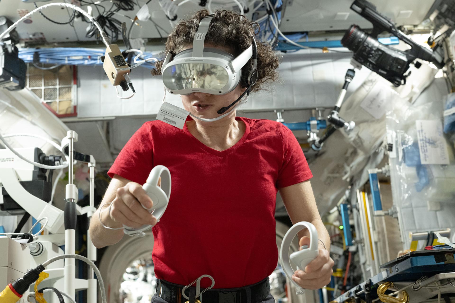
Expedition 75International Space Station
NASA’s SpaceX Crew-13moon to mars
Artemis
Featured News

NASA Assigns Astronaut Deniz Burnham to First Space Station Mission

NASA Awards 2026 Innovative Technology Concepts

NASA’s Curiosity Mars Rover Discovers Field of Honeycomb Textures

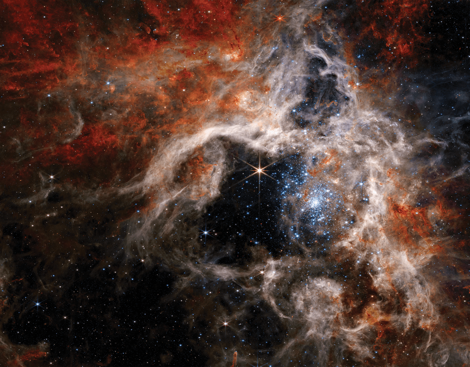
NASA Webb Explores Family Tree of Newly Discovered Distant Objects
Experience Totality
The Sun and Moon are coming together to put on a show for Earth, and NASA will be sharing it with you. On Wednesday, Aug. 12, a total solar eclipse will be visible in parts of Greenland, Iceland, northern Russia, the Atlantic Ocean, Spain, and a small corner of Portugal. NASA’s live coverage, featuring views from across the path and interviews with subject matter experts, begins at 1:15 p.m. EDT.
Ways to Watch

Today
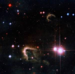
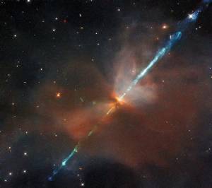
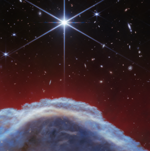
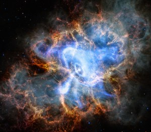
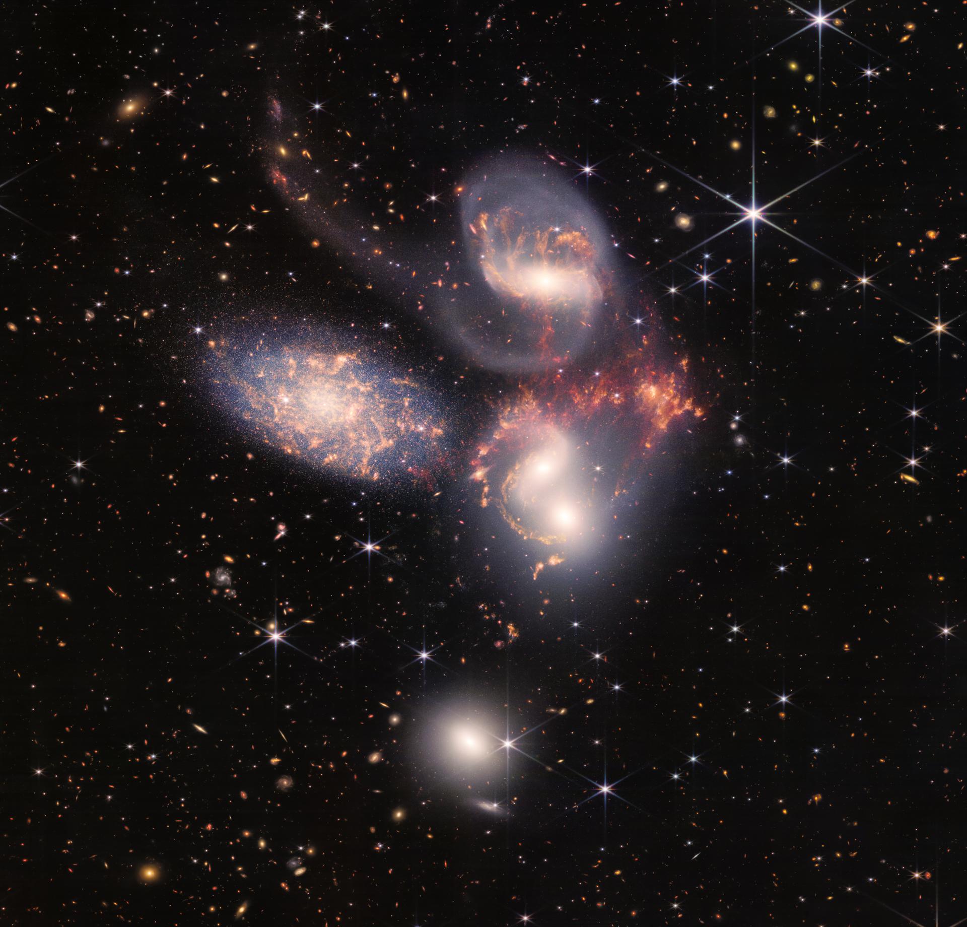
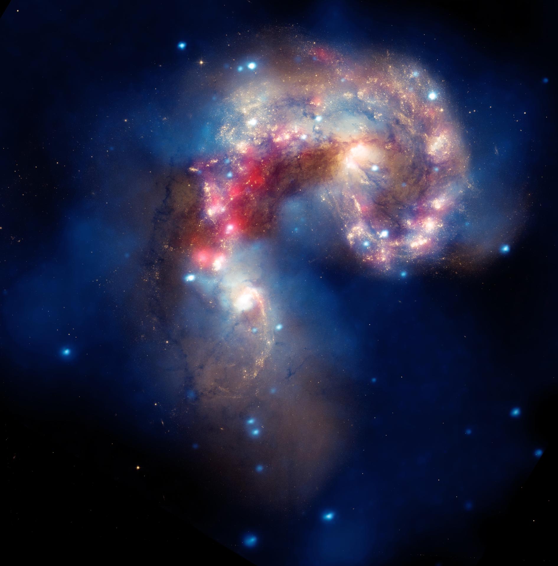
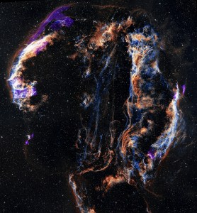
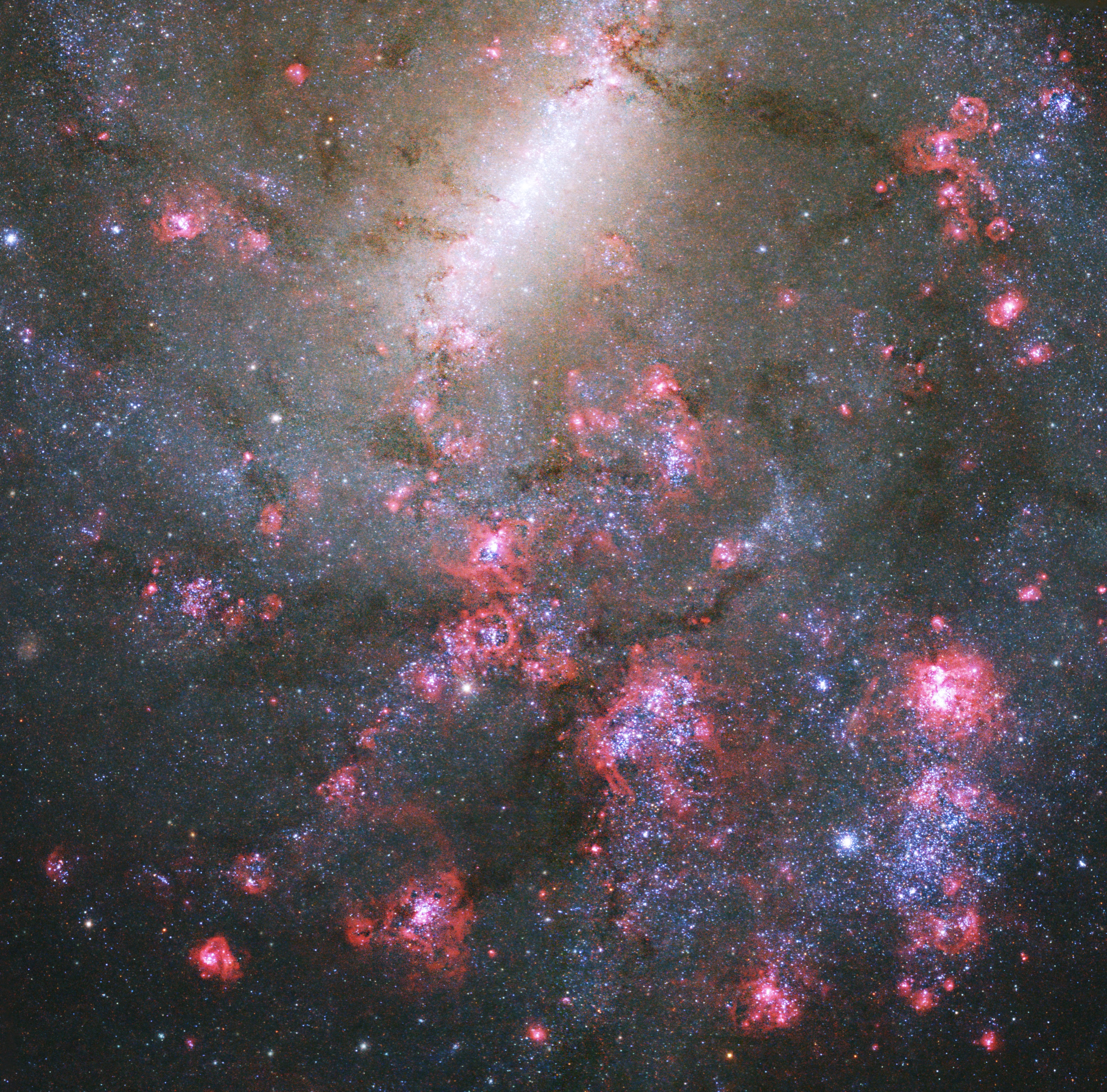
Image Of The Day
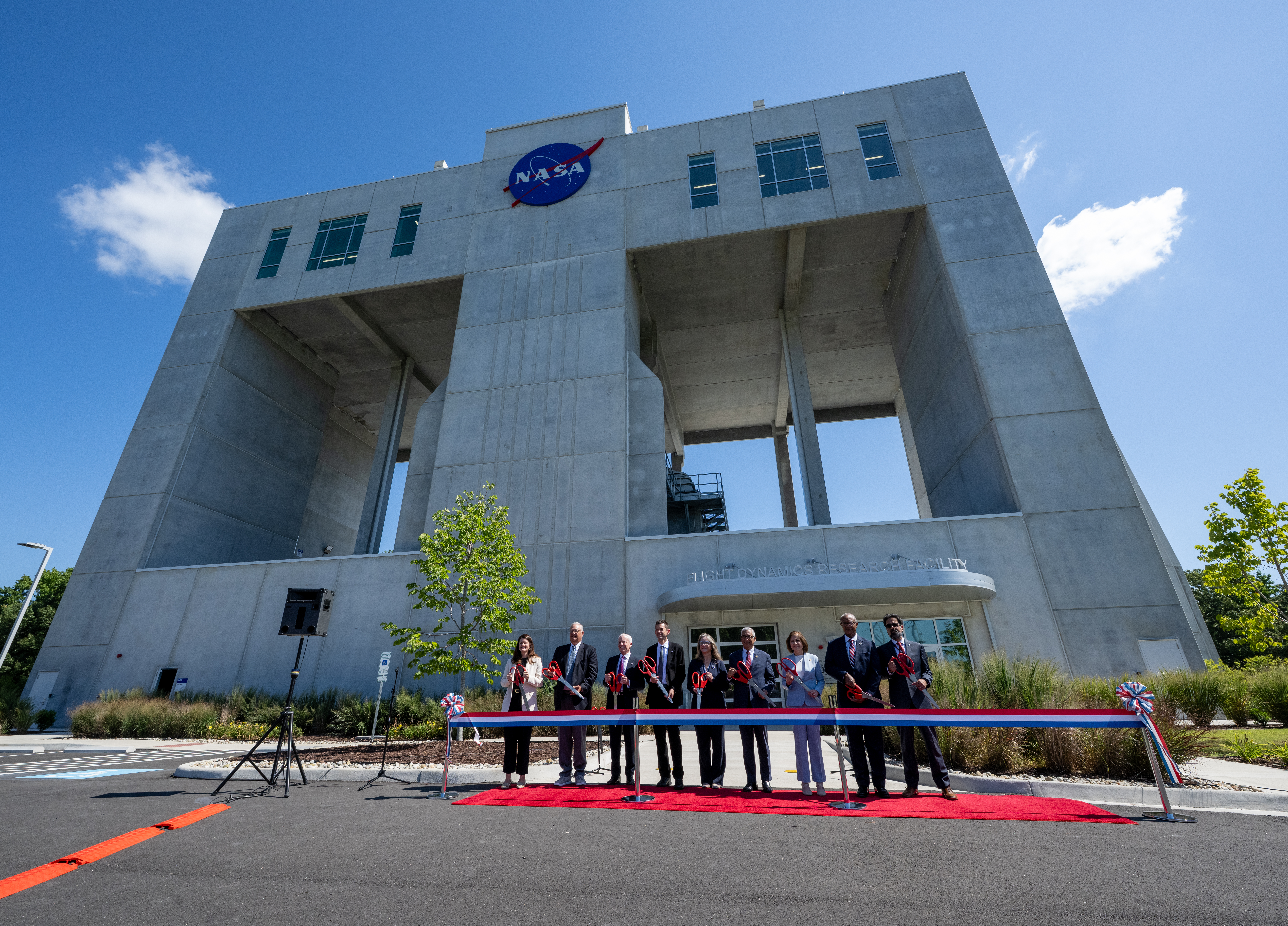
NASA’s Newest Wind Tunnel Opens at NASA Langley
NASA opened its newest wind tunnel, the Flight Dynamics Research Facility at NASA’s Langley Research Center in Hampton, Virginia, on Friday, providing a critical resource for the agency and its partners to test the safety and performance of future generations of aircraft, rockets, and space exploration vehicles.

More NASA Images

Explore the Universe from your Inbox
Stay up-to-date on the latest news from NASA–from Earth to the Moon, the Solar System and beyond.
We will never share your email address.
Freedom 250
NASA Celebrates America’s 250th Birthday
Our spirit of adventure and innovation will raise our nation to new heights.
From the earliest days of exploration, to the first steps on the Moon and the missions shaping our future, NASA represents the spirit of discovery that defines our nation. As the United States approaches its semiquincentennial, Freedom 250 highlights how innovation, courage, and scientific leadership have carried America forward — and how NASA continues to expand the frontier for the next generation.
Learn More about NASA Celebrates America’s 250th Birthday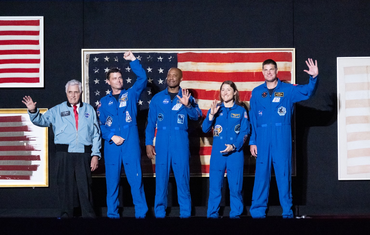


