


LiDAR Patch
LiDAR (Light Detection and Ranging) is a technology that uses laser light to measure distances and create detailed maps of surfaces. By calculating how long it takes for light to bounce back, scientists can determine the height and shape of objects, helping them map landscapes on Earth and even explore other planets.
Age
11+
Duration
~1 hour


LiDAR Patch Activity
Use “laser-like” tools to map a hidden landscape just like a NASA scientist.
- Create a color-coded “laser” stick
- Measure the hidden landscape
- Record your data and create your topographical map
- Share your discoveries
What is LiDAR?
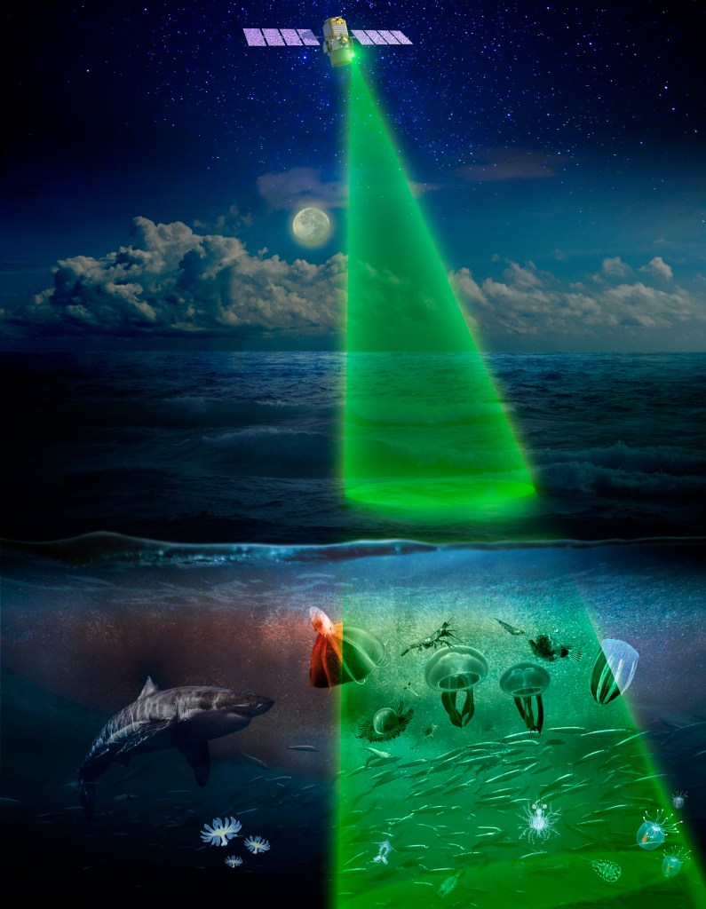
Scientists use LiDAR to create topographical maps, meaning a type of map that shows the elevation of different areas. They use this to map different parts of the Earth’s surface, like forests or cities. Some types of LiDAR can see through water, which allows scientists to map the ocean floor!
How do scientists use LiDAR?
Scientists use LiDAR to create topographical maps, meaning a type of map that shows the elevation of different areas. They use this to map different parts of the Earth’s surface, like forests or cities. Some types of LiDAR can see through water, which allows scientists to map the ocean floor!
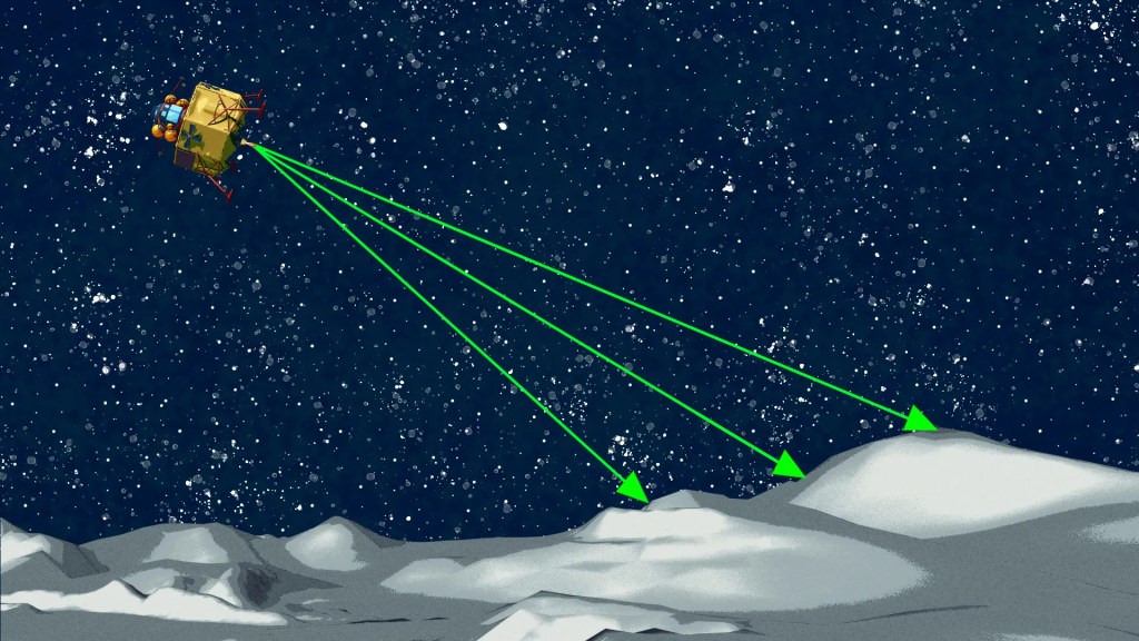
Scientists also use LiDAR in outer space, to create maps of other planets and moons.

