


![Request for Information – Potential [Placeholder for Prize]](https://assets.science.nasa.gov/dynamicimage/assets/science/psd/solar/2023/09/s/solarsystem_0.jpg?w=1024)


Color-a-Pixel Patch
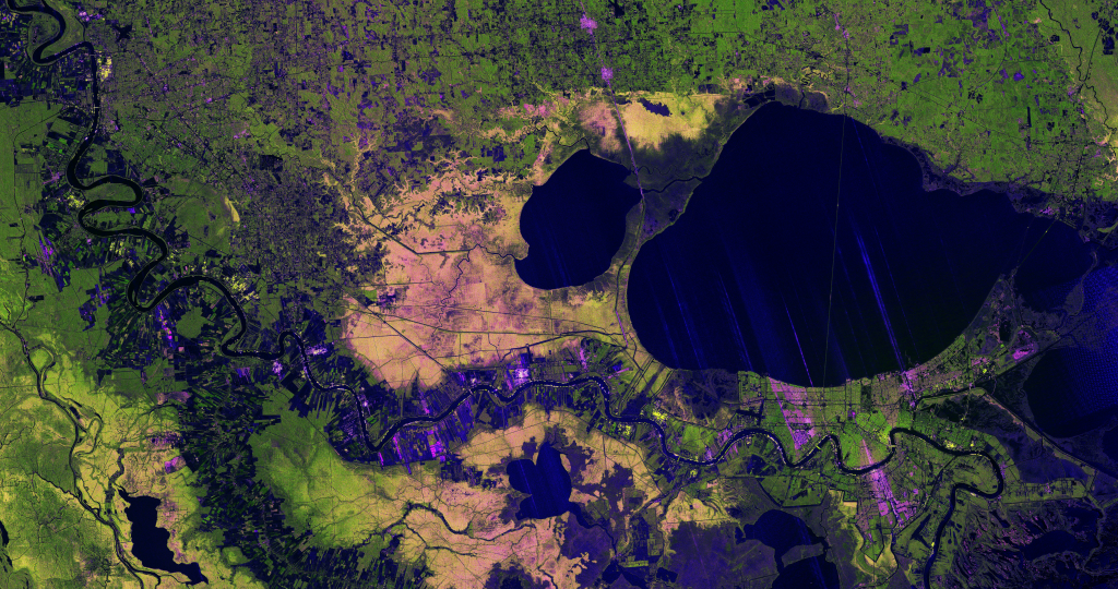
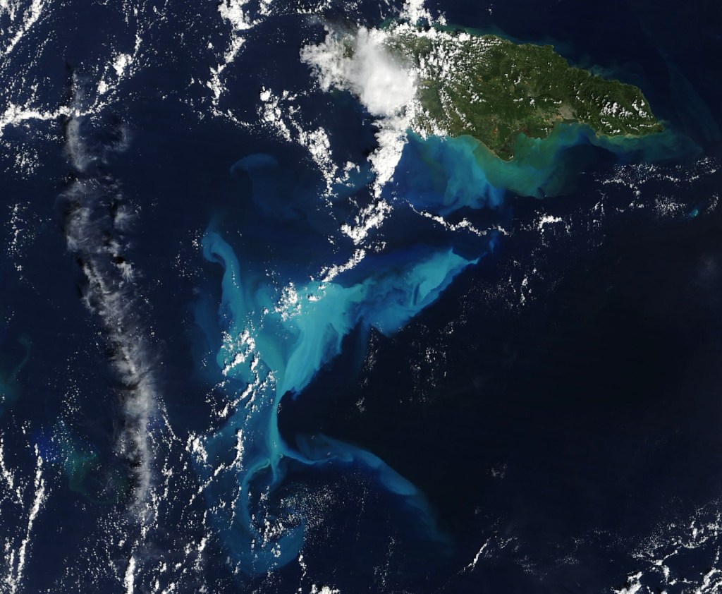
Satellite images are built from thousands (or millions!) of tiny squares called pixels, and each one adds a small piece of information to the overall picture. The more pixels an image has, the higher its resolution — allowing scientists to see finer details and better understand Earth’s surface.
Age
11+
Duration
~1 hour

Color-a-Pixel Patch Activity
Discover how scientists see the Earth from space, one pixel at a time.
- Explore your pixel grid
- Color your image
- Discover the power of resolution
What is the significance of pixels in satellite data?
Lots of satellites take pictures of Earth. Often, each satellite is programmed to travel in a specific orbit – meaning a circular path – around the plant, photographing specific areas. As technology has gotten better, we get better and better pictures. The quality of a picture is called its resolution, which is determined by how many individual dots of color (pixels) make up the image.
In this activity, we are going to understand how pixels are important to pictures by coloring in each pixel on our own satellite image. As you color each square, the image will start to appear!
How do scientists use pixels in their research?
Satellite image resolution is important for scientists, because it determines how much detail they have to be able to accurately observe, measure, and analyze the Earth’s surface. For example, a high-resolution image would be needed for a researcher to count how many individual trees are in a particular area.


