



















AirSHARP
The AirSHARP project provides high fidelity spatial coverage and spectral data for ocean color products for validation of the new NASA Plankton, Aerosol, Cloud, ocean Ecosystem (PACE) satellite sensors measuring ocean and atmospheric optical properties.
TYPE
Airborne and Field Campaign
DUration
2024–2025
POC
Liane Guild
Out the Window
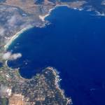
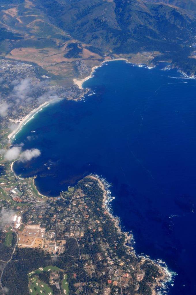
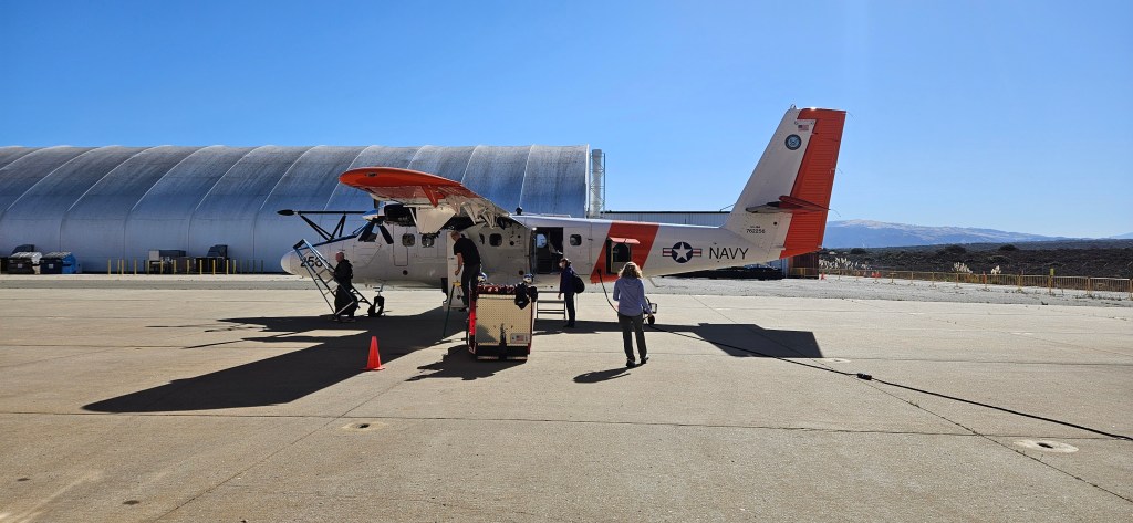
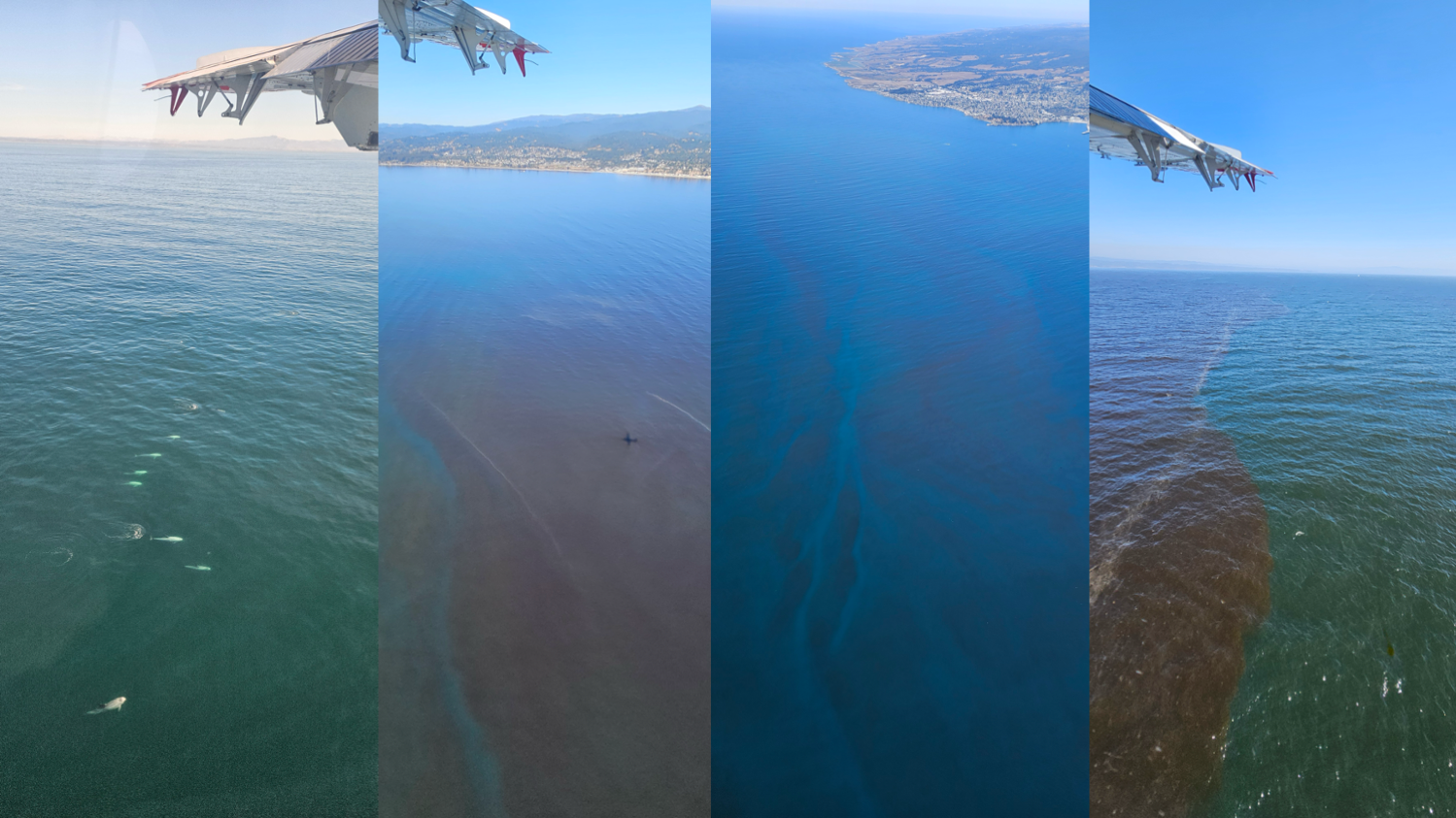
Photographs taken out the window of the Naval Postgraduate School Twin Otter aircraft during the October 2024 AirSHARP deployment showcase the variation in ocean color, which indicates the different water constituents composition in the water column beneath. The red color in several of these photos is due to a phytoplankton bloom – in this case a growth of red algae.
Credits: NASA/Samuel LeBlanc
Overview
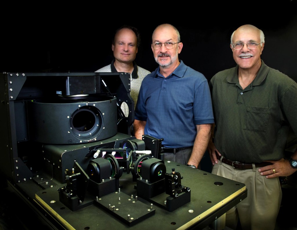
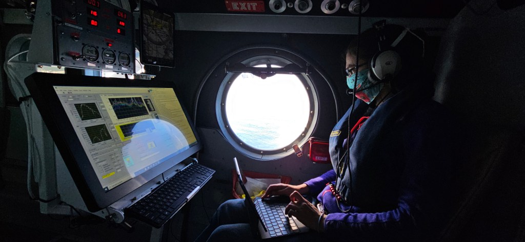
The AirSHARP project (Airborne asSessment of Hyperspectral Aerosol optical depth and water-leaving Reflectance Product Performance for PACE) is a field campaign using aircraft-based instruments to validate the Plankton, Aerosol, Cloud, ocean Ecosystem (PACE) satellite instrument products. It focuses on gathering atmospheric and oceanic data over complex coastal waters, specifically utilizing the 4STARB spectrometer and C-AIR radiometers.
What is AirSHARP3?
Whenever NASA launches a new satellite, validation science teams around the world collect data in the field to confirm that the data from instruments in space match what traditional instruments can see at the surface. AirSHARP (Airborne aSsessment of Hyperspectral Aerosol optical depth and water-leaving Reflectance Product Performance for PACE) is one of these teams, specifically deployed to validate products from the satellite’s Ocean Color Instrument (OCI).
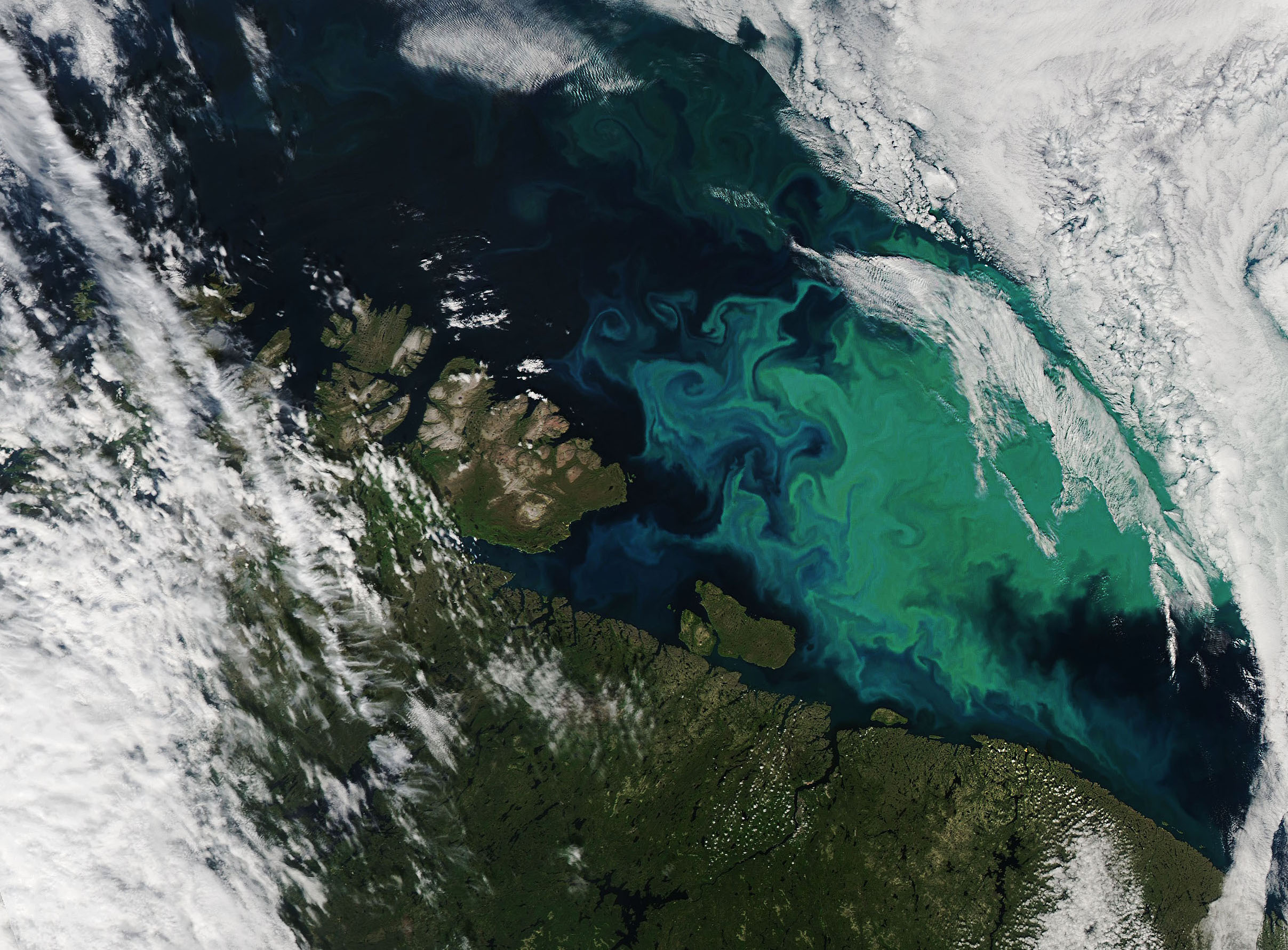
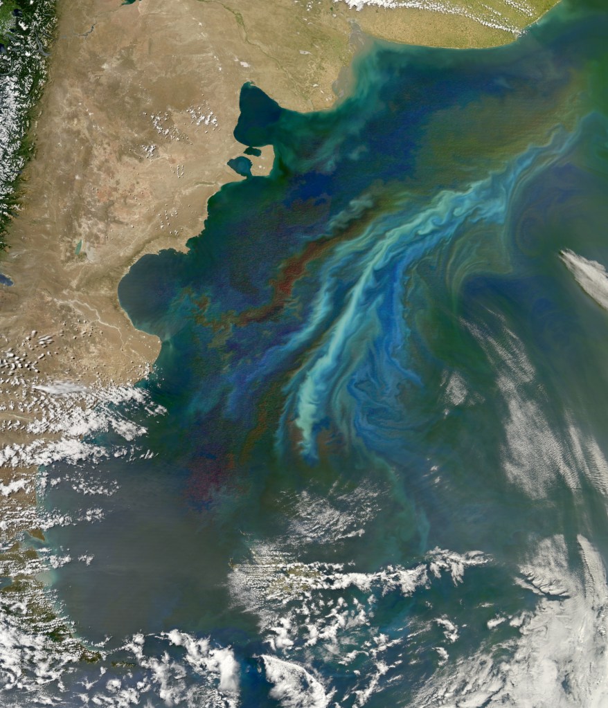
The OCI spectrometer works by measuring reflected sunlight. As sunlight bounces off of the ocean’s surface, it creates specific shades of color that researchers use to determine what is in the water column below. To validate the OCI data, research teams need to confirm that measurements directly at the surface match those from the satellite. They also need to understand how the atmosphere is changing the color of the ocean as the reflected light is traveling back to the satellite.
In October 2024 and May 2025, the AirSHARP team ran simultaneous airborne and seaborne campaigns. Going into the field during different seasons allows the team to collect data under different environmental conditions, validating as much of the instrument and environment’s range as possible.
AirSHARP Science Objectives
AirSHARP focuses on high-fidelity, sub-orbital measurements of water-leaving radiance to support ocean color products and aerosol optical depth and related aerosol properties to improve, calibrate, and verify satellite instrument retrievals.
Together, these areas of research will validate that the data from instruments in space match what traditional instruments can see at the surface:
- PACE Satellite Validation: Validate the Ocean Color Instrument (OCI) aboard the PACE satellite, confirming that measurements taken at and near the ocean surface match satellite observations.
- Atmospheric Correction: Measure how aerosols and atmospheric conditions alter light as it travels from the ocean surface to the satellite, allowing for better atmospheric correction of ocean color data.
- Ocean Ecosystem Monitoring: Analyze the water-leaving radiance to identify, in detail, the composition of the water column, including plankton, carbon, and other particles, which provides insights into ocean health and productivity.
- Aerosol Characterization: It is a goal of the 4STAR team to determine the size, composition, and concentration of aerosol particles in the atmosphere, helping to understand how they interact with clouds.
What can AirSHARP teach us about how the Earth’s oceans and atmosphere are changing?
By providing ground-truth data to validate the PACE satellite, AirSHARP bridges the gap between local measurements and global monitoring, offering a clearer picture of how changing oceans and atmospheres are linked.