







Audience
Educators, Students
Grade Levels
Grades K-4, Grades 5-8, Grades 9-12, Informal Education
Subject
Earth Science, Technology, Weather and Climate, Remote Sensing
Type
Lesson Plans / Activities
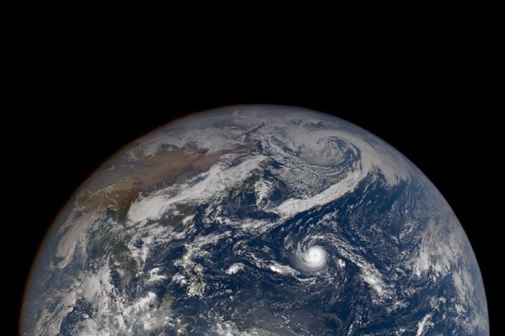
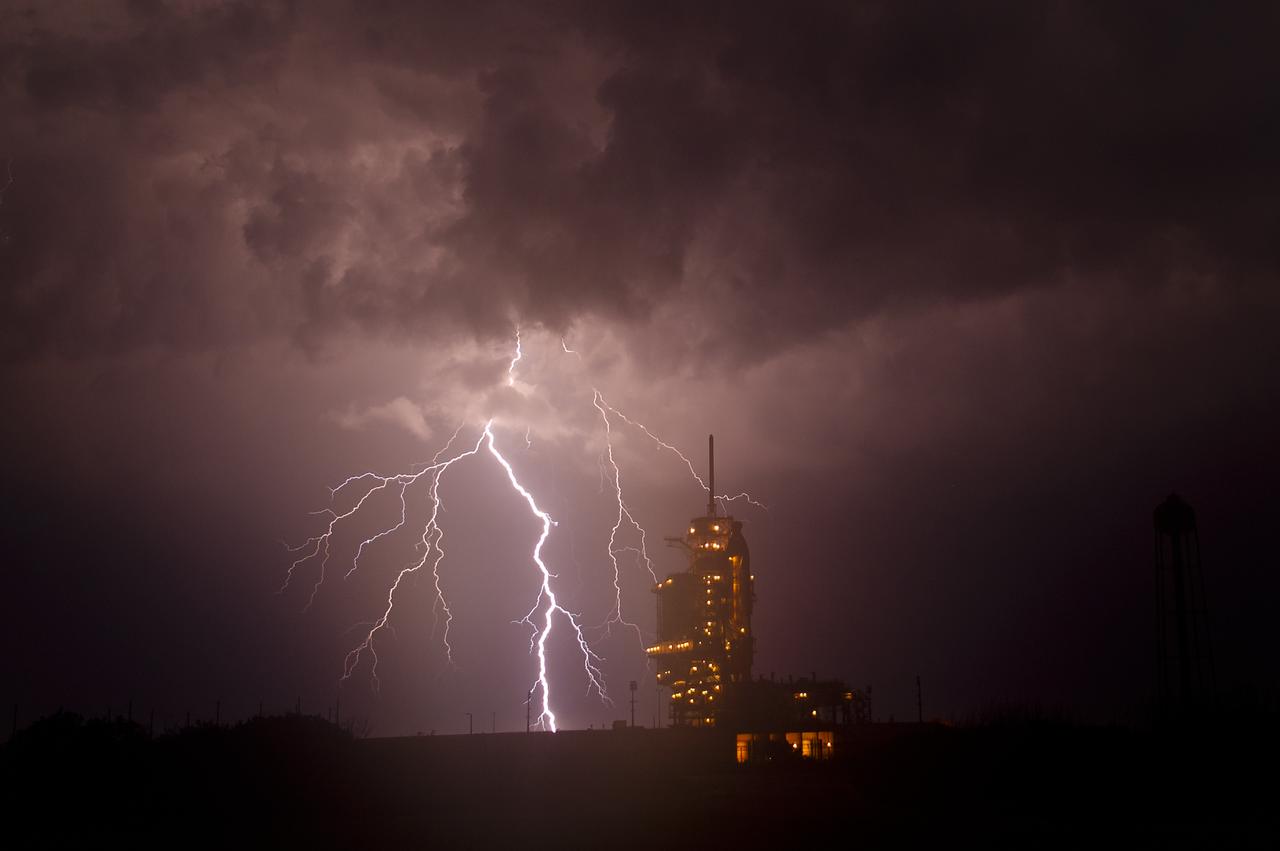
When protecting lives and property from severe weather, time is of the essence. NOAA’s Joint Polar Satellite System (JPSS) gives us earlier and more targeted warnings of devastating weather events like floods, hurricanes, snow and ice storms, and wildfires. These warnings can help with evacuations and emergency preparations.
For example, JPSS measurements allowed forecasters to give advanced warning of Hurricane Ida, which made landfall in Louisiana as a Category 4 storm in August 2021. These kinds of advance warnings give people time to prepare their homes for a storm and evacuate.
Using satellites to forecast the weather isn’t the only thing that we can do to be prepared. It is a good idea to create a family emergency plan and keep a bag of supplies ready in case you must leave your home in a hurry. This activity introduces learners to the concept of creating an emergency plan.
Click here to download the activity.