


NASA has a variety of resources for reporters covering 2016’s Atlantic Ocean and Eastern and Central Pacific hurricane seasons, including scientific animations in a resource reel that look inside hurricanes and daily updates with satellite data.
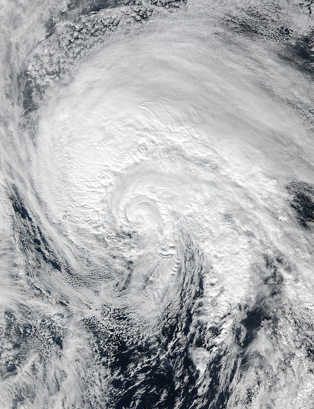
The Atlantic Ocean hurricane season begins June 1 and runs through Nov. 30. This year, activity in the Atlantic basin began unusually early, with the development in January of Hurricane Alex in the eastern Atlantic. Alex officially became a hurricane on Jan. 14, 2016 and the National Hurricane Center said it was the earliest hurricane to form in the Atlantic since 1938. Like the Atlantic, activity in the Central Pacific started early when the first tropical cyclone, Pali, developed in January and on the 11th became the earliest hurricane ever recorded. NASA satellite imagery on NASA’s Hurricane page covered both storms from birth to death. The NASA Hurricane page has covered all worldwide tropical cyclones in every ocean basin since 2005.
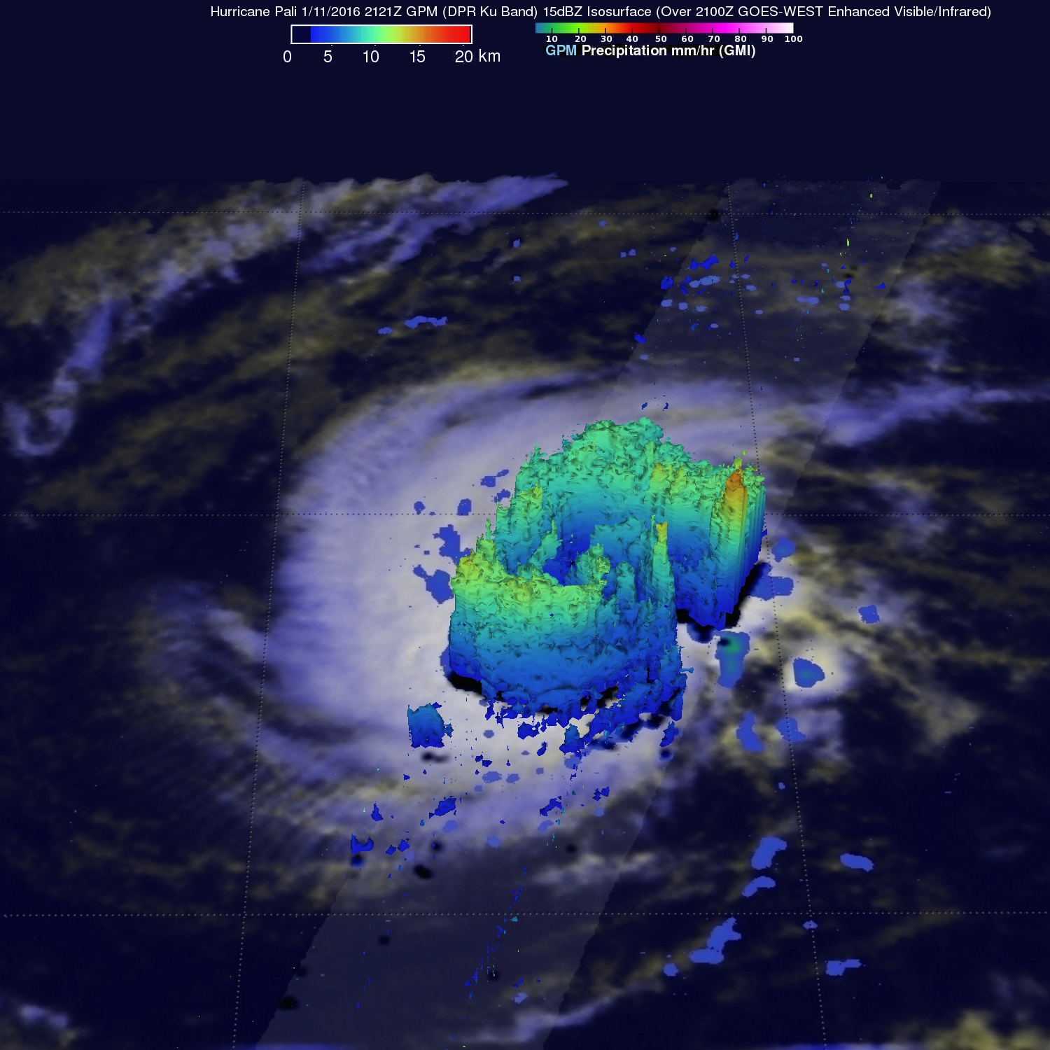
NASA satellites provide information such as cloud and sea-surface temperatures, rainfall locations and rates of rainfall within each storm, cloud extent, and even surface winds. All of that information is used to create daily hurricane updates and has been used in animations. The nearly hour-long online “Hurricane Resource Reel” is housed at the website for the Scientific Visualization Studio of NASA’s Goddard Space Flight Center in Greenbelt, Maryland. It includes storms from various oceans around the world. There is also a gallery of hurricane and typhoon animations, and another about NASA/Japan Aerospace Exploration Agency’s Global Precipitation Measurement (GPM) mission, IMERG rainfall data and 3-D storm animations.
To learn more about NASA’s new hurricane research mission, the Cyclone Global Navigation Satellite System, or CYGNSS mission, visit:
https://www.nasa.gov/cygnss/overview
For NASA’s Hurricane Resource Reel:
http://svs.gsfc.nasa.gov/Gallery/HurricanesandTyphoons.html
For NASA’s Hurricane page, visit:
Rob Gutro
NASA’s Goddard Space Flight Center, Greenbelt, Maryland
Robert.J.Gutro@nasa.gov
301-286-4044