


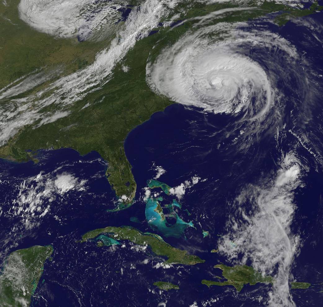
This image from the GOES-13 satellite, taken at 10:32 a.m. EDT on Sept. 3, 2010, shows a huge Hurricane Earl northeast of North Carolina with cloud cover stretching over the northeastern U.S. A disorganized Tropical Storm Fiona is located in the bottom right of this image.
NASA/NOAA Goes Project
This image from the GOES-13 satellite, taken at 10:32 a.m. EDT on Sept. 3, 2010, shows a huge Hurricane Earl northeast of North Carolina with cloud cover stretching over the northeastern U.S. A disorganized Tropical Storm Fiona is located in the bottom right of this image.