![Request for Information – Potential [Placeholder for Prize]](https://assets.science.nasa.gov/dynamicimage/assets/science/psd/solar/2023/09/s/solarsystem_0.jpg?w=1024)


ADC 2024 Handbook and Coding Components
2024 ADC Handbook
The App Development Challenge (ADC) Handbook will provide all the details for the challenge and how to get started.
View Handbook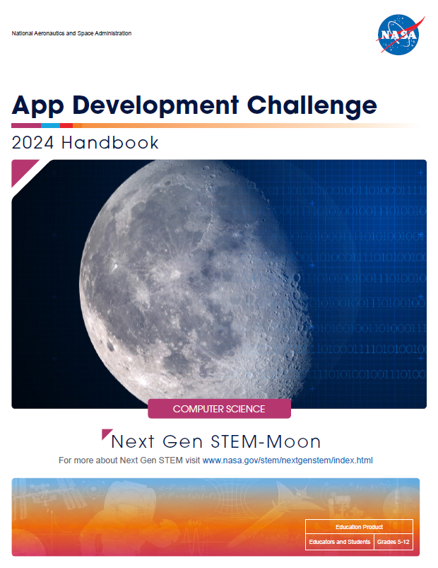
Note: Information about the challenge will remain posted for use in educational settings beyond the challenge end date.
App Coding Components
The files below will assist you in developing a Lunar Visualization App. Detailed information regarding the challenge and additional resources are available in the ADC Handbook under the sections entitled “Middle School Challenge” and “High School Challenge”.
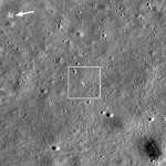
1. Artemis III Landing Region Data Files
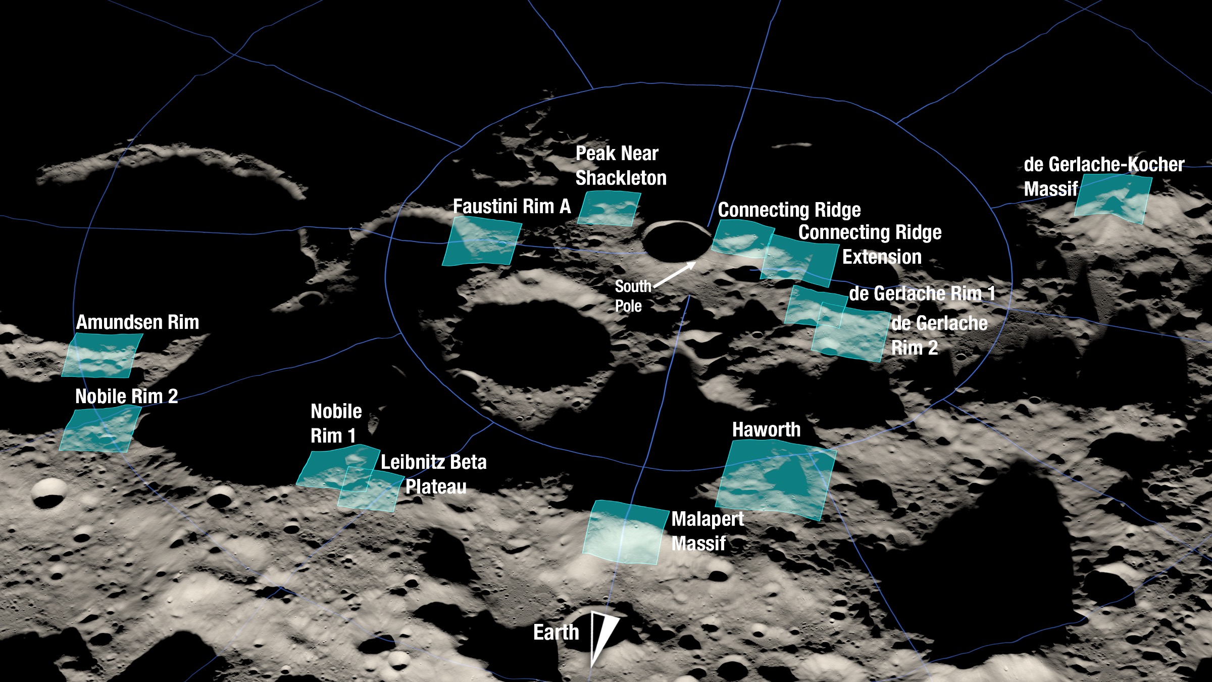
On Friday August 19, 2022, NASA released a set of 13 candidate regions under consideration for the Artemis III mission. The Artemis III mission will return U.S. astronauts to the lunar surface for the first time in over 50 years.
ADC teams are encouraged to review the Artemis III candidate landing site press release and video to learn more.
Four unique files, one per parameter, are in gridded geospatial polar stereographic projection format (top down, left to right, lunar side facing Earth at the top) are available for each landing region.
- Latitude (degrees North)
- Longitude (degrees East)
- Height (meters)
- Slope (degrees)
Middle School Teams
All middle school teams will use the Haworth landing region. For teams not experienced in coding or creating a 3D mesh, please follow the steps in Appendix D of the Handbook. Although Unity is used, teams may adapt the instructions to an alternate game engine. Teams who are experienced in coding may choose to follow the steps in Appendix D or may use the data below to create a 3D mesh.
Haworth (Option 1):
Latitude Data File | Longitude Data File | Height Data File | Slope Data File
Haworth (Option 2)
High School Teams
All high school teams may choose to visualize one of five regions: Peak Near Shackleton, Connecting Ridge, Nobile Rim 1, Faustini Rim A, and Leibnitz Beta Plateau.
Teams should be mindful to identify the landing region they selected and explain why they chose this location in their video submission.
Peak Near Shackleton:
Latitude Data File | Longitude Data File | Height Data File | Slope Data File
Connecting Ridge:
Latitude Data File | Longitude Data File | Height Data File | Slope Data File
Nobile Rim 1:
Latitude Data File | Longitude Data File | Height Data File | Slope Data File
Faustini Rim A:
Latitude Data File | Longitude Data File | Height Data File | Slope Data File
Leibnitz Beta Plateau:
Latitude Data File | Longitude Data File | Height Data File | Slope Data File
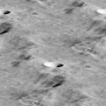
2. Lunar Surface Texture
An example lunar regolith surface texture
Teams experiencing problems accessing these files should contact: JSC-ADC@mail.nasa.gov.