


ADC 2023 Handbook and Coding Components
ADC Handbook
The ADC Handbook will provide all the details for the challenge and how to get started.
2023 App Development Challenge Handbook
2023 App Development Challenge Handbook (Spanish Version)
Note: Information about the challenge will remain posted for use in educational settings beyond the challenge end date.
App Coding Components
The coding components below will assist you in developing a Lunar Visualization App. Detailed information regarding these components and additional resources are available in the ADC Handbook under the section entitled “Coding Components”.
1. Regional Lunar Data Files
A set of four Excel Spreadsheet (CSV files) of the four aspects of the lunar South Pole data. A regional dataset focused nearby the challenge starting landing site and challenge desired destination site with Shackleton Crater identified.
Four unique files, one per parameter that are in gridded geospatial polar stereographic projection format (top down, left to right, lunar side facing Earth at the top).
- Latitude (degrees North)
- Longitude (degrees East)
- Height (meters)
- Slope (degrees)
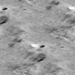
2. Lunar Surface Texture
- An example lunar regolith surface texture
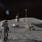
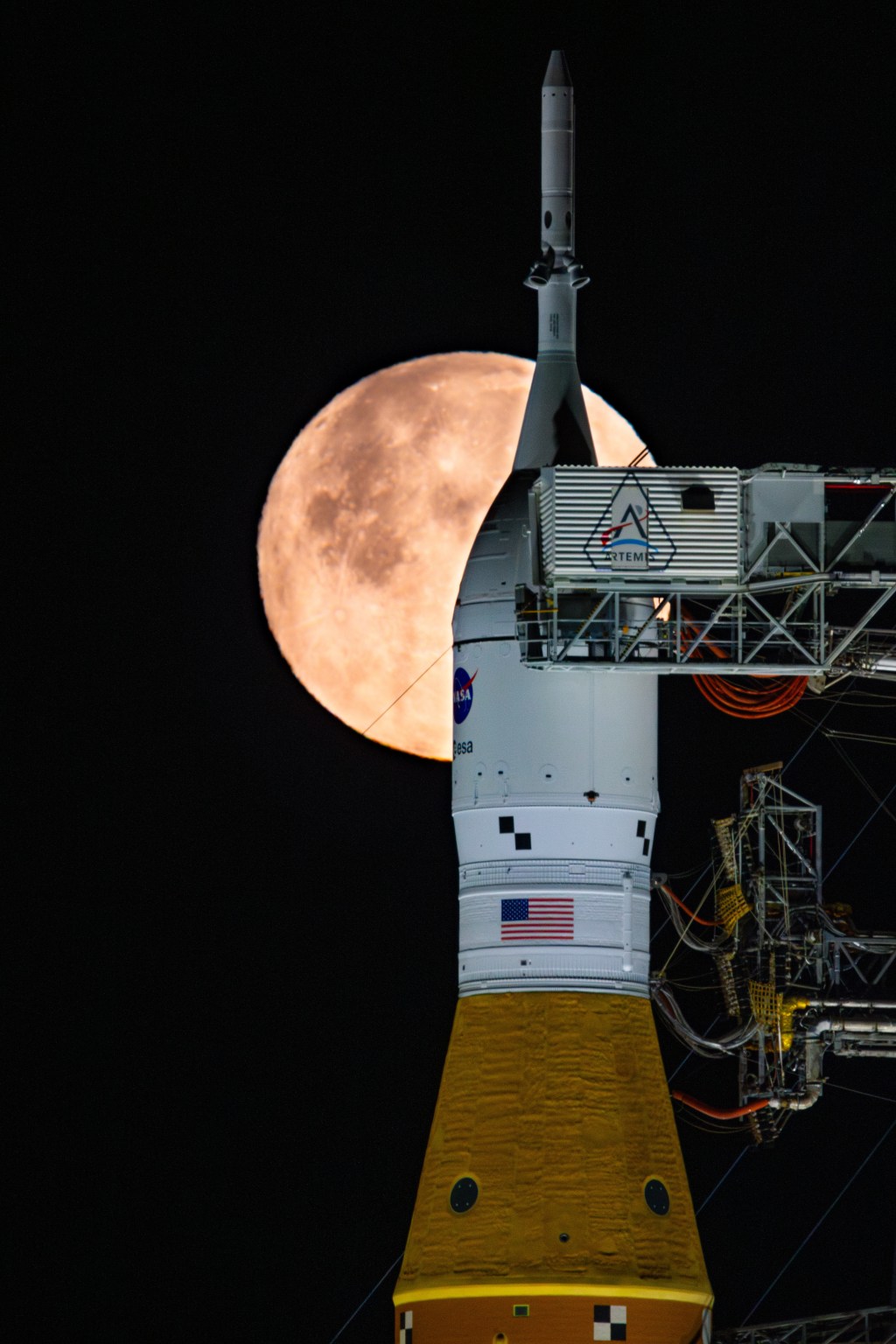
MISSION UPDATE: ARTEMIS III
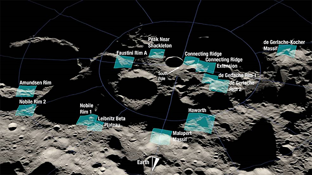
ADC teams are challenged to select one of the following 13 candidate region sites and create their ADC app from this data. All ADC parameters and requirements per the scoring rubrics still apply. The only difference is that each team can use one of the 13 options below versus using the regional data provided above.
All teams should be mindful to identify the candidate site they selected and explain why they chose this location in their video submission.
ADC teams are encouraged to review the Artemis III candidate landing site press release and video to learn more.
(Note: Teams are not required to select one of these 13 options and can utilize the regional data set for their app development.)
Amundsen Rim:
Latitude Data File | Longitude Data File | Height Data File | Slope Data File
Connecting Ridge:
Latitude Data File | Longitude Data File | Height Data File | Slope Data File
Connecting Ridge Extension:
Latitude Data File | Longitude Data File | Height Data File | Slope Data File
de Gerlache Rim 1:
Latitude Data File | Longitude Data File | Height Data File | Slope Data File
de Gerlache Rim 2:
Latitude Data File | Longitude Data File | Height Data File | Slope Data File
de Gerlache-Kocher Massif:
Latitude Data File | Longitude Data File | Height Data File | Slope Data File
Faustini Rim A:
Latitude Data File | Longitude Data File | Height Data File | Slope Data File
Haworth:
Latitude Data File | Longitude Data File | Height Data File | Slope Data File
Leibnitz Beta Plateau:
Latitude Data File | Longitude Data File | Height Data File | Slope Data File
Malapert Massif:
Latitude Data File | Longitude Data File | Height Data File | Slope Data File
Nobile Rim 1:
Latitude Data File | Longitude Data File | Height Data File | Slope Data File
Nobile Rim 2:
Latitude Data File | Longitude Data File | Height Data File | Slope Data File
Peak Near Shackleton:
Latitude Data File | Longitude Data File | Height Data File | Slope Data File
Teams experiencing problems accessing these files should contact: JSC-ADC@mail.nasa.gov.