NASA will host a virtual media briefing at 10:30 a.m. EST (7:30 a.m. PST) Nov. 14, at the agency’s Jet Propulsion Laboratory in Southern California, to discuss the upcoming launch of the Surface Water and Ocean Topography (SWOT) satellite.
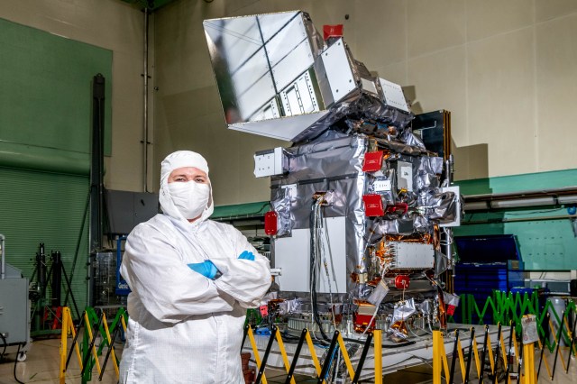
Scheduled to launch from Vandenberg Space Force Base in central California at 3:46 a.m. PST (6:46 a.m. EST) on Monday, Dec. 12, SWOT will be the first satellite mission to observe nearly all water on Earth’s surface, measuring the height of water in lakes, rivers, reservoirs, as well as the ocean. It is a collaboration between NASA and the French space agency Centre National d’Études Spatiales (CNES), with contributions from the Canadian Space Agency (CSA) and the UK Space Agency.
The briefing will livestream on NASA Television, Facebook and YouTube, as well as the agency’s app and on its website.
Participants will include:
- Tahani Amer, program executive, Earth Science Division, NASA Headquarters
- Parag Vaze, SWOT project manager, JPL
- Lee-Lueng Fu, SWOT project scientist, JPL
- Ben Hamlington, research scientist, Sea Level and Ice Group, JPL
- Thierry Lafon, SWOT program manager, CNES
To ask questions by phone, members of the media should email Rexana Vizza at rexana.v.vizza@jpl.nasa.gov to RSVP no later than two hours before the start of the event. Questions can be asked on social media during the briefing using #AskNASA.
For more information on SWOT, please visit:
-end-

