


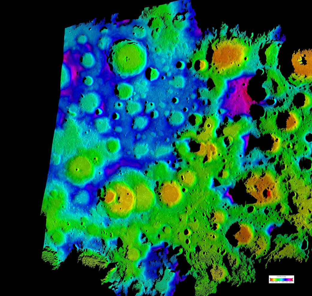
This composite image depicts the moon's rugged south polar region and is the highest resolution topography map to date of the moon's south pole. It was generated by scientists at NASA's Jet Propulsion Laboratory, using data collected using the Deep Space Network's Goldstone Solar System Radar located in California's Mojave Desert.
This composite image depicts the moon’s rugged south polar region and is the highest resolution topography map to date of the moon’s south pole. It was generated by scientists at NASA’s Jet Propulsion Laboratory, using data collected using the Deep Space Network’s Goldstone Solar System Radar located in California’s Mojave Desert. This new map provides contiguous topographic detail over a region approximately 311 miles by 249 miles (500 kilometers by 400 kilometers).Image Credit: NASA/JPL