


Water Resources Missions & Projects at Ames
active projects
1
subject matter experts
1
NASA Ames poc
Forrest Melton
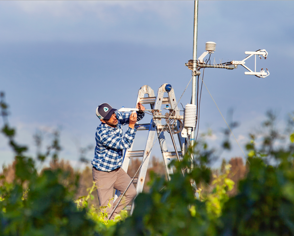
OpenET
OpenET uses best available science to provide easily accessible satellite-based evapotranspiration (ET) data for improved water management across the western United States. Using the Data Explorer or Application Programing Interface (API), users can accessET data at the field scale for millions of individual fields or at the original quarter-acre resolution of the satellite data.
Click here to learn more about OpenET about OpenET
OpenET, an online platform that uses satellites to estimate water consumed by crops and other plants, making critical data for water management widely available in 17 western states for the first time amid record drought is shown here. OpenET fills a major information gap in water management in the West.