Terrestrial Observation and Prediction System (TOPS)
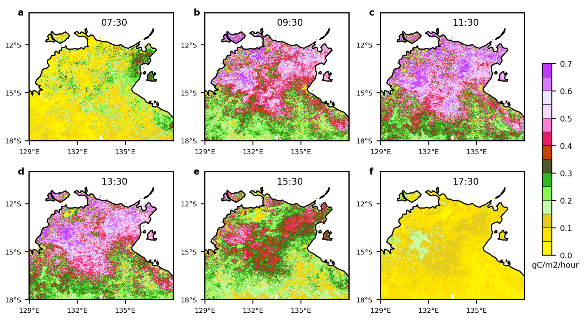
TOPS is a modeling framework that integrates operational satellite data, microclimate mapping, and ecosystem simulation models to characterize terrestrial ecosystem status and trends. TOPS provides reliable data on current and forecasted ecosystem conditions through automation of the data retrieval, preprocessing, integration, and modeling steps, allowing TOPS data products to be used in an operational setting for a range of applications. For example, TOPS is used for monitoring the National Parks and forecasting impacts of climate changes on Yosemite ecosystems (Nemani et al., 2009). One of the TOPS products is the daily climate data over the conterminous US by ingesting different data sets, including satellite, reanalysis, radar, and topography data (Hashimoto et al. 2019). Those data can be used for assessment of climate change impact over the US. Recent advances in geostationary satellite data can extend the daily climate data into hourly data, and we will analyze the climate impact by hourly time-step (e.g., Xiao et al., 2021, see Figure). Combined with NEX-GDDP data, TOPS can predict seasonal to long-term trends in ecosystem productivity and agriculture yields in continental scale.

References:
- Hashimoto, H. et al. High-resolution mapping of daily climate variables by aggregating multiple spatial data sets with the random forest algorithm over the conterminous United States. Int. J. Climatol. 39, 2964–2983 (2019).
- Nemani, R. et al. Monitoring and forecasting ecosystem dynamics using the Terrestrial Observation and Prediction System (TOPS). Remote Sens. Environ. 113, 1497–1509 (2009).
- Xiao, J., Fisher, J. B., Hashimoto, H., Ichii, K. & Parazoo, N. C. Emerging satellite observations for diurnal cycling of ecosystem processes. Nat. Plants 7, 877–887 (2021).


