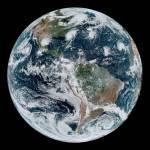
GeoNEX is a collaborative effort for generating Earth monitoring products from the new generation of geostationary satellite sensors. In collaboration with scientists at NOAA, NASA and other international organizations, GeoNEX serves as a platform for scientific partnership, knowledge sharing and research for the Earth science community. GeoNEX currently offers the following gridded data product from the GOES-16, -17 Advanced Baseline Imagers (ABI) and the Advanced Himawari Imager (AHI).