


Fire and Air Quality
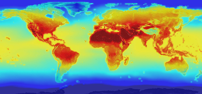
With a changing climate, the US wildfire season is becoming longer and more severe with accompanying impacts on regional air quality across the United States. At NEX, we are using regional atmospheric composition (AC) modeling, chemical data assimilation, and ‘top-down’ emissions estimation to study these changes and impacts over time.
Our work

Air Quality Modeling and Emission Estimation
Accurate air quality modeling depends in part on comprehensive observations of atmospheric composition (AC). Conventional air quality observations are typically surface measurements that are spatially sparse but locally and temporally dense. Therefore, we are increasingly using satellite of AC to constraint air quality modeling and emissions. At NEX we are using WRF-Chem/DART for TRACER-1 as well as for AC modeling, chemical data assimilation, and ‘top-down’ emissions estimation. Click for more details on WRF-Chem/DART and AC modeling/emission estimation at NEX.
Atmospheric Composition Regional Reanalysis
The coarse resolution of global atmospheric composition (AC) reanalyses (on the order of 100 km) makes them inadequate for investigating regional to sub-regional AC processes/impacts. We are preparing a 20-yr (2005 – 2024) Tropospheric Regional AC and Emissions Reanalysis – 1 (TRACER-1) over the continental United States for the summer ozone and wildfire seasons (April – September). TRACER-1 will be a first of its kind regional complement to NASA JPL's global Tropospheric Chemistry Reanalysis (TCR-2) 2005 – 2018 which is being extended to 2025. Both projects are funded by the NASA ACMAP program. Click for more details on TRACER-1.
Improving Wildfire Emissions Transport Modeling and Emissions Estimation
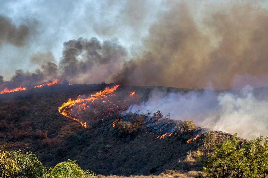
Wildland fires are a growing concern in the United States. With continuing population growth at the wildland – urban interface, WFs pose an increasingly serious risk to human health, property, and environment. In collaboration with the NOAA Chemical Systems Laboratory under a grant from the NOAA Applications of Satellite Data to Aerosol Research Program, we are researching strategies for using satellite observations to improve WF emissions estimation and WF-based trace gas/aerosol analyses to improve WF characterization and regional emissions transport modeling. Click for more information on wildfire emissions estimation and transport modeling.

Fire Behavior Modeling
NEX – Using large-scale computing capabilities with open data, modeling, and machine learning facilitates complex data integration and behavior modeling to detect wildfire ignition and spread.