


.png?w=1024)


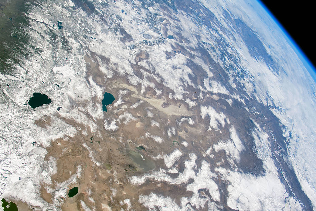
Astronauts aboard the International Space Station captured this photo while flying over the western United States. The wide field of view stretches from the Sierra Nevada of California to the Columbia Plateau of Oregon and the Snake River Valley of Idaho.
A few days before the picture was taken, the Sierra Nevada around Lake Tahoe received a near-record amount of snowfall. During March 2018, Lake Tahoe was buried with 230 inches of snow after an unusually dry winter.
East of the Sierra Nevada, the Great Basin Desert covers most of Nevada. The Great Basin is classified as a cold desert because it receives precipitation during the winter months. The Sierra Nevada and Cascade Mountains create a rain shadow that prevents moisture from moving across the mountains; this leads to a desert climate to the east of the range fronts. The landscape of the Great Basin Desert consists of alternating valleys and mountains, and is part of a region known to geologists as the Basin and Range Province. In the photo, these mountain ranges are snowcapped, while the desert floor remains untouched.
Astronaut photograph ISS055-E-1038 was acquired on March 3, 2018, with a Nikon D5 digital camera using a 50 millimeter lens.
More information and annotated images: NASA Earth Observatory
Image Credit: NASA
Caption: Andrea Meado, Jacobs Technology, JETS Contract at NASA-JSC