


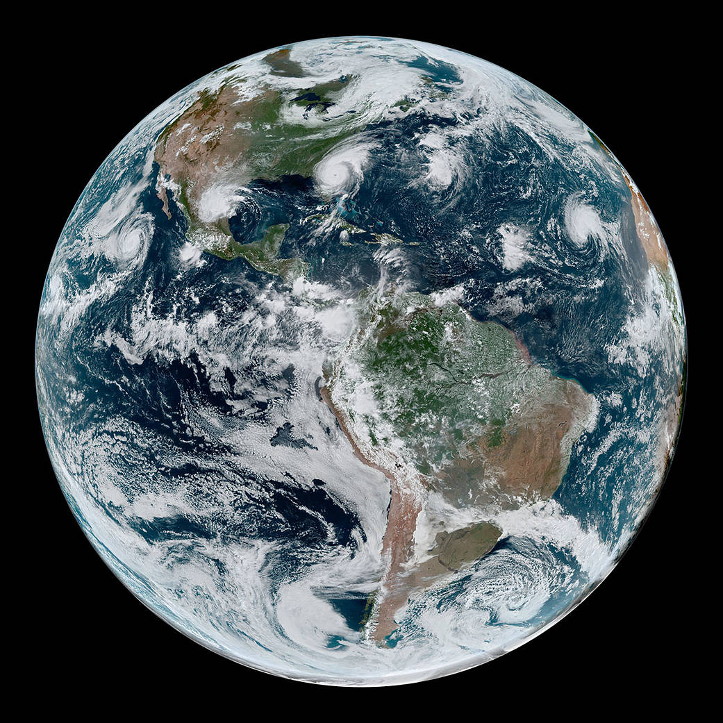

On Sept. 4, 2019, a loose chain of tropical cyclones lined up across the Western Hemisphere. At the time of this image (1:10 p.m. EDT) Hurricane Juliette in the East Pacific and Hurricane Dorian in the Atlantic were both category 2 storms.
Meanwhile, Tropical Storm Fernand packed sustained winds of 45 mph and had just recently made landfall over northeastern Mexico. Gabrielle strengthened into a tropical storm on September 4 over the eastern Atlantic, and had sustained winds of 50 mph around the time of this image.
Data for the simulated natural-color image were acquired with the Advanced Baseline Imager on the Geostationary Operational Environmental Satellite (GOES) 16. GOES-16 is operated by NOAA; NASA helps develop and launch the GOES series of satellites.