


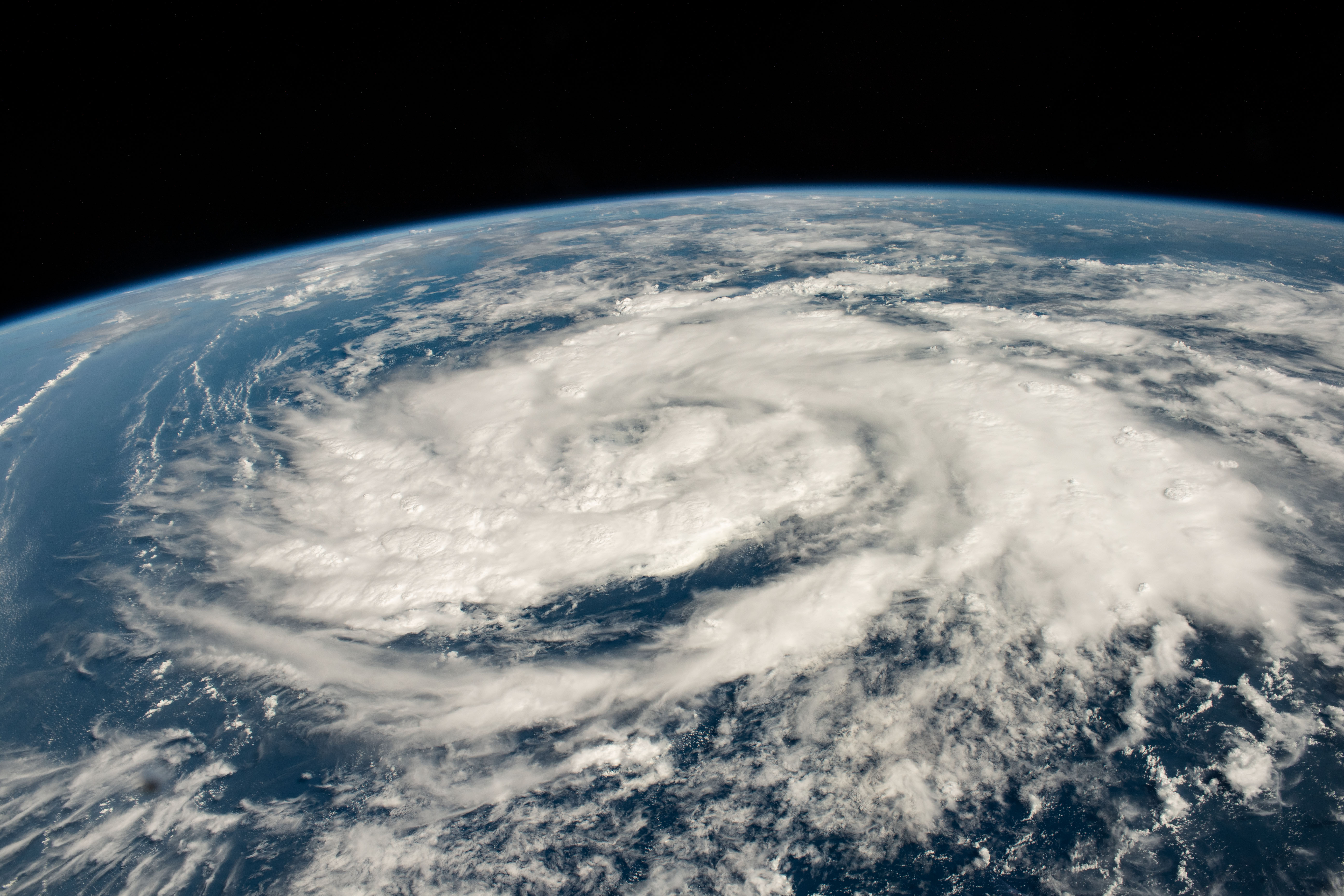
While the International Space Station orbited 260 miles above Earth on Oct. 20, 2023, astronaut Jasmin Moghbeli snapped this image of a storm in the Arabian Sea, less than 700 miles off the coast of Oman. In addition to photographing our planet from the space station, NASA also observes Earth with satellites. These satellites collect data on storms that scientists can then use to create near real-time products to support disaster response.
For example, NASA and JAXA’s (Japan Aerospace Exploration Agency) Global Precipitation Measurement (GPM) satellite frequently observes the structure of precipitation within tropical cyclones and hurricanes, and the Integrated Multi-Satellite Retrievals for GPM product maps their intense rainfall rates over time to provide situational awareness for potential flood events. Following landfall, optical data collected by the Aqua, Terra, Landsat, or Suomi NPP satellites can map the extent and severity of flooding – and should clouds obscure the region, SAR data from ESA Sentinel satellites or NASA Airborne Science instruments can also be used to detect flooding. In addition to giving insights into how storms form and intensify, NASA satellites also supply key inputs to weather models to help generate life-saving forecasts.
Image Credit: NASA/Jasmin Moghbeli