















NASA’s Starling Mission Opens New Frontiers in Space Navigation
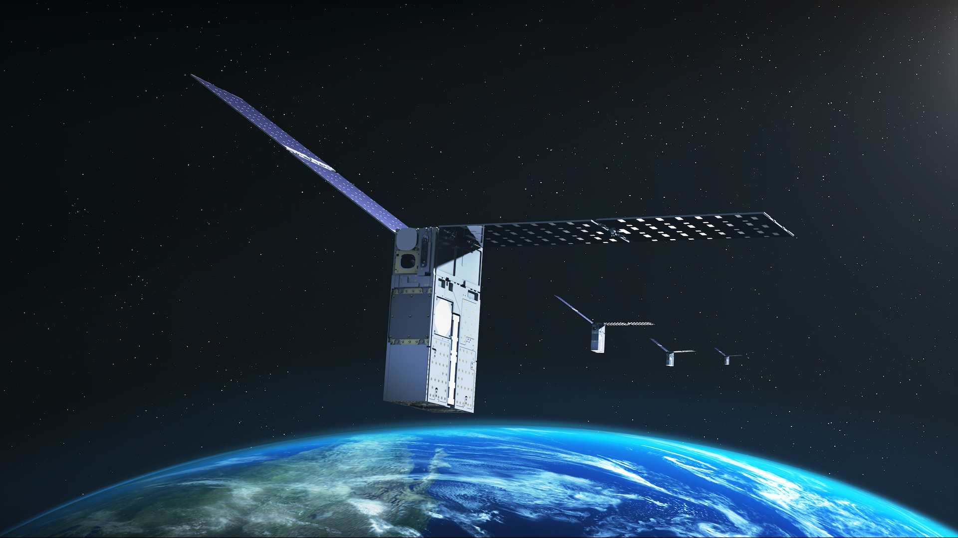
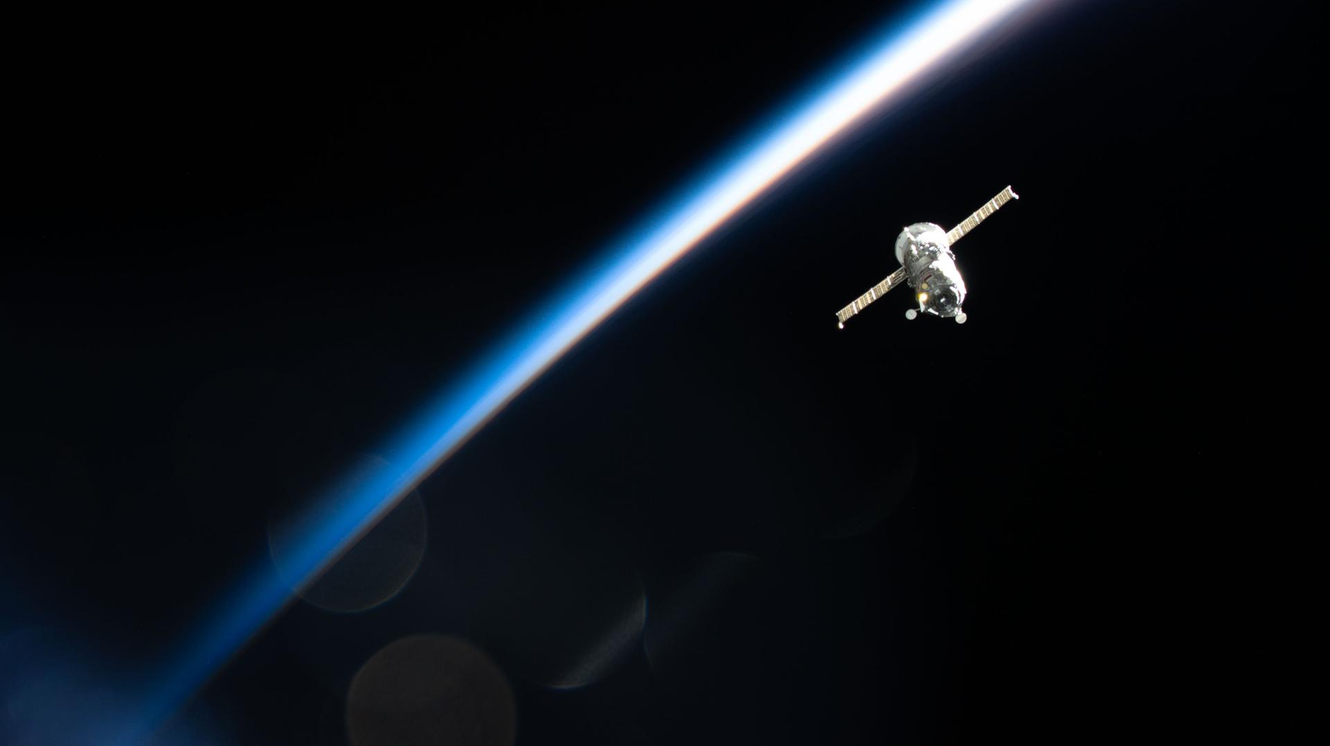
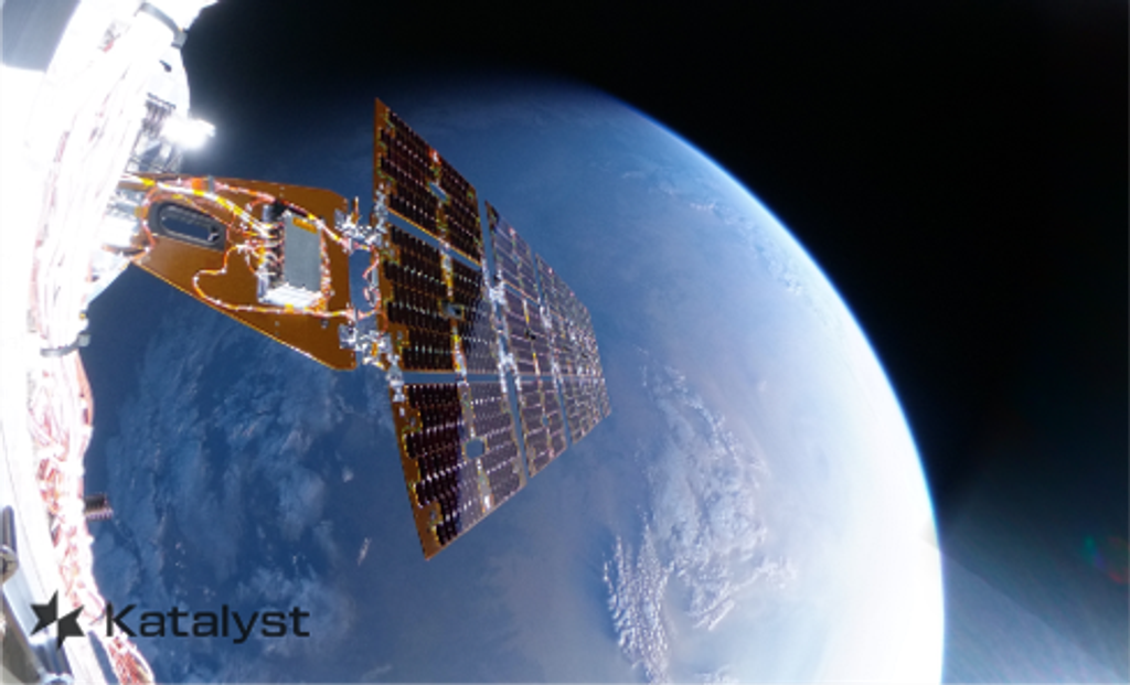
NASA’s Starling mission has marked another milestone in spacecraft autonomy by using a new system that determines a satellite’s position in orbit by referencing other objects in space, instead of relying on a navigational network.
The FALCON (Fast Autonomous Lost-in-space Catalog-based Optical Navigation) technology demonstration is a step toward spacecraft being able to operate more independently. As NASA prepares for more missions beyond Earth’s orbit, technologies like FALCON can support lunar satellite swarms, distributed science missions, and human exploration.
Traditional satellite navigation depends on GPS signals, but those can be unreliable or unavailable in lunar or deep space environments. The FALCON payload is a joint flight experiment by NASA and EraDrive, a startup spun out from Stanford University. It combines EraDrive’s Era-Core flight software and embedded algorithms with Starling’s cameras and an onboard catalog of known satellites to support GPS-independent navigation and space situational awareness.
“FALCON is yet another success for the Starling demonstration mission. The results from FALCON can have far-reaching implications for on-orbit space-traffic monitoring, collision avoidance, and alternative navigation,” said Roger Hunter, program manager for NASA’s Small Spacecraft and Distributed Systems program at NASA’s Ames Research Center in California’s Silicon Valley. “The number of ‘firsts’ from Starling just keeps growing.”
The FALCON demonstration tested two complementary capabilities that made creative use of Starling’s onboard star-tracker cameras, standard instruments that identify bright objects in space to inform a spacecraft’s orientation and position. In position, navigation, and timing experiments, it matched objects that the spacecraft’s cameras observed – including other spacecraft and orbital debris – to a catalog of known space objects maintained and made publicly available by the U.S. Department of War. FALCON then used the observed and verified objects as reference points to determine Starling’s orbit.
In separate experiments, FALCON successfully refined the orbit estimates of the space objects observed by Starling’s cameras. The mission team loaded the full catalog of approximately 20,000 space objects and their predicted orbits onto the spacecraft. FALCON then correlated that data with the observations of other space objects made by the spacecraft’s cameras to estimate Starling’s location – and the locations of other space objects – with even greater precision than the current catalog data. During a three-day period, FALCON improved the known orbits of more than 200 objects without intervention from operators on the ground.
The self-orbit determination capability made possible through FALCON is a first for spacecraft using optical cameras to navigate by their relative position to other objects in space. Separately, the catalog-update experiments produced better object position predictions onboard Starling than those provided by ground stations.
Coordinated networks of multiple GPS-free satellites will be critical to support surface operations for future human exploration of the Moon or Mars. For science missions, knowing the precise location of each spacecraft is necessary for aligning measurements taken from multiple points in space. And for space traffic management, autonomous navigation and catalog updates can reduce reliance on ground networks and enhance collision avoidance.
The FALCON experiment highlights NASA’s role in fostering commercial innovation. What began as a University SmallSat Technology Partnerships project evolved into a startup, EraDrive, that is now commercializing its Era-Core software and related hardware for broader applications. Starling provided a platform for real-world testing, showing that flight software can transform satellites into autonomous navigators.
Later this year, Starling, which launched in 2023, will extend the FALCON experiment using Era-Core, enabling its four-spacecraft swarm to share tracking data and refine their positions collectively.
NASA’s Ames Research Center in California’s Silicon Valley leads the Starling mission. NASA’s Small Spacecraft and Distributed Systems program, based at Ames and within the Research and Technology Mission Directorate, funds and manages the Starling mission.