






















NASA Small Satellite Could Make Global Positioning More Precise
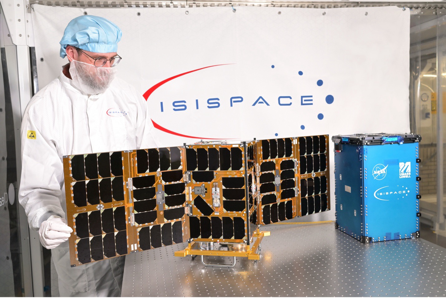
A NASA satellite the size of a suitcase, which aims to merge different observing systems and lead to more accurate mapping of Earth, launched July 7 from the Vandenberg Space Force Base in California aboard SpaceX’s Transport-17 mission.
This novel CubeSat, known as the Geodetic Reference Instrument Transponder for Small Satellites, or GRITSS, will demonstrate the feasibility of a new technique for connecting three independent observing systems: the Very Long Baseline Interferometry (VLBI) stations, which use radio telescopes; GPS receivers, which use navigation satellites; and Satellite Laser Ranging, which relies on lasers to measure a distance from the ground to a retroreflector in space.
Carrying a modified GPS receiver to convert signals for VLBI alongside a traditional laser retroreflector, GRITSS measures the relative distance between these systems with a goal of improving the accuracy of the International Terrestrial Reference Frame, a global grid system for Earth science and precision navigation.
The GRITSS mission will receive GPS signals and directly convert them into a frequency that Very Long Baseline Interferometry ground dishes can read. The CubeSat will establish a direct link between the two networks and create a standard measurement. It also carries equipment to bounce laser signals back to the Satellite Laser Ranging network.
Operating this technology in space poses an engineering challenge. As the CubeSat orbits between the Sun and Earth’s shadow, temperatures can swing by hundreds of degrees. To ensure GRITSS’ timing doesn’t fluctuate by more than one-trillionth of a second per orbit, the engineering team implemented thermal controls to maintain the satellite’s internal temperature to within a single degree Celsius.
This project comes from NASA’s Earth Science Technology Office and the agency’s NASA’s Earth Science Research and Analysis group. Partnerships include NASA’s Goddard Space Flight Center in Greenbelt, Maryland, the University of Massachusetts Lowell, and the aerospace company ISISPACE.