![Request for Information – Potential [Placeholder for Prize]](https://assets.science.nasa.gov/dynamicimage/assets/science/psd/solar/2023/09/s/solarsystem_0.jpg?w=1024)


Space and Earth Sciences
Understanding our universe and home planet
About Space and Earth Sciences
NASA’s primary mission is to seek understanding about the cosmos, including the stars in the sky, planets beyond and within our solar system, and our own Earth. The fields of space and Earth science cover a range of scientific disciplines, making use of a variety of different technologies. Satellites are essential for looking back at our own Earth, and telescopes in orbit allow us to look farther into the universe than is possible from the ground.
Visit our webpages for more information:
Space Science and Astrobiology | Earth Science
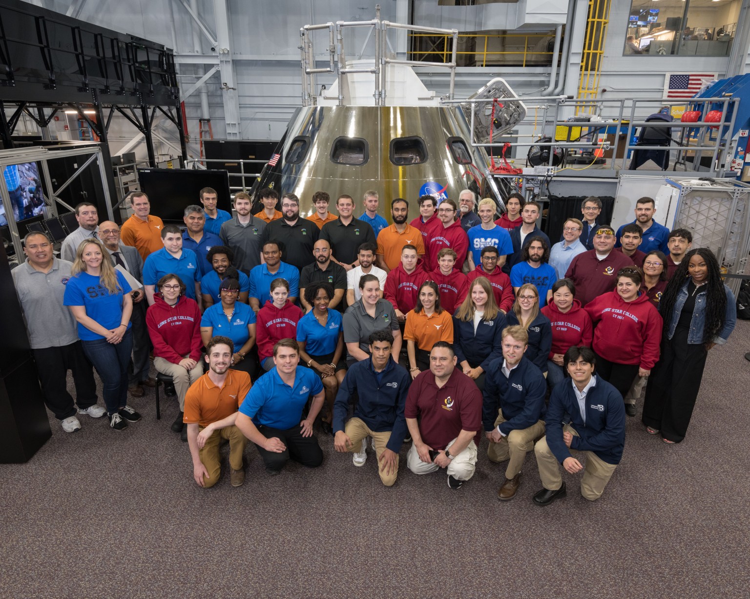
Ames’ Role and Facilities
Astrophysics
The fields of astronomy and astrophysics are the bedrock of how NASA gains knowledge of the universe beyond our solar system. Ames helps lead the administration’s astrophysics efforts in the areas of exoplanet characterization, lab astrophysics and astrochemistry, and radiative transfer research, among others. Astrophysics intersects with Ames’ other areas of expertise: leveraging supercomputing for complex simulations, providing laboratory facilities that contribute towards planetary science, and the development of cutting-edge space technologies like coronagraphs that enable future missions and scientific research.
Planetary Science
The study of other planetary bodies is an interdisciplinary field that encompasses geophysics, astronomy, astrochemistry, and exploration. Planetary science at Ames studies the closest and farthest bodies of our solar system, specializing in planet modelling and exploring the origins and evolution of planetary systems. Ames’ expertise is preparing us to search for life on Mars, unravel the mysteries of distant worlds like Pluto, and to investigate the deep origins of our solar system.
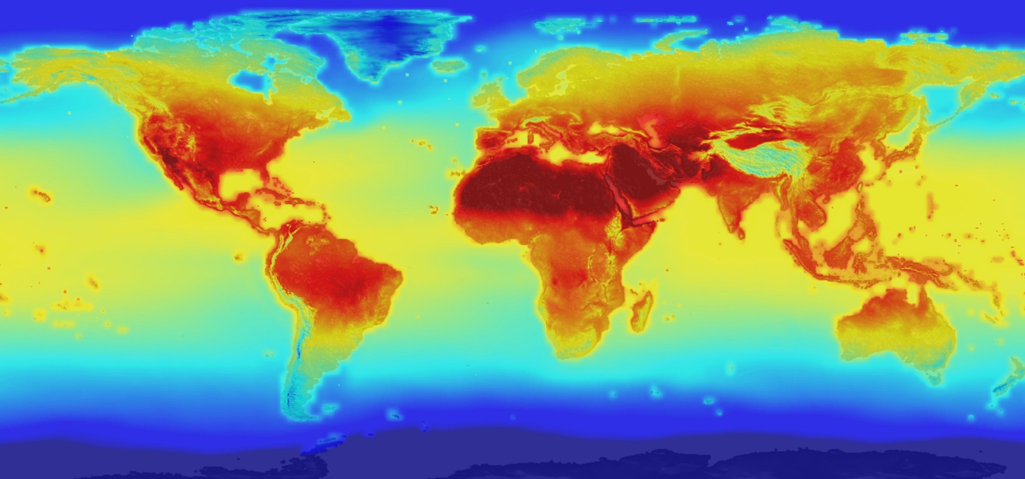
Earth Science
NASA’s unique vantage point to see and measure the dynamic Earth system enables unparalleled knowledge and information to help humanity thrive. NASA technologies provide vast datasets about Earth that enable our understanding of how it is changing. Ames provides information to scientist decision makers and the public through the study of Earth’s surface and interior, weather, the composition and dynamics of the atmosphere, carbon cycles and ecosystems, and water and energy cycles.
The tools Ames researchers use include instruments in space and in the air on planes and drones, as well as data systems and archives, and computational power to create data products and models.
Featured Examples
Mars Climate Modeling Center
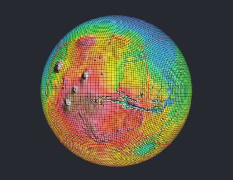
The Mars Climate Modeling Center (MCMC) at Ames conducts scientific research on the current and past atmosphere and climate of Mars and Mars-like exoplanets. The exploration of Mars drives model development and increased model capability. Improved models in turn help us understand phenomena and develop new questions to be answered by future observations or missions. The MCMC produces state-of-the-art Mars Global Climate Models (GCMs) in open access to support the international space community.
- Learn more about the Mars Climate Modeling Center.
- See more examples from Planetary Systems.
NASA Earth Exchange
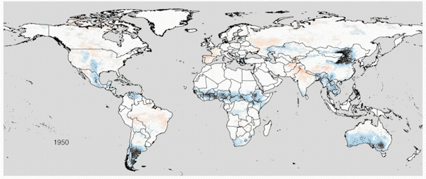
NEX combines state-of-the-art supercomputing, Earth systems modeling, and NASA remote sensing data feeds to deliver a work environment for exploring and analyzing terabyte- to petabyte-scale datasets covering large regions, continents or the globe. By providing data, software, and high-end computing power together, NEX reduces the need for redundant efforts in downloading data, developing pre-processing software tools, and expanding local compute infrastructures, while accelerating fundamental research, developing new applications, and reducing project costs.
- Learn more about the NASA Earth Exchange.
- See more examples from Biospheric Science.
OpenET
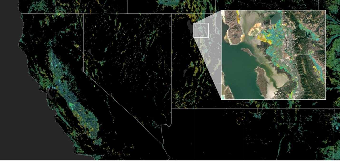
The OpenET program provides open access satellite-based information on evapotranspiration (ET) and agricultural water use. OpenET data informs the water management decisions of resource management professionals, farmers, and policy makers. Data are provided at the scale of individual crop fields (30 meters) and are available at daily, monthly, and annual time scales. Ten Western U.S. states already incorporate OpenET data into state water information systems.
- Learn more about OpenET.
- See more examples from Atmospheric Science.