


Listen to the teleconference (2.2 MB MP3)
Transcript of Aug. 25, 2022, teleconference on agriculture resources
Editor’s Note; This advisory was updated on Aug. 18 to update the list of teleconference participants.
NASA will host a media teleconference at 1:30 p.m. CDT Thursday, Aug. 25, to discuss the agency’s tools, resources, and science research available to the agriculture community.
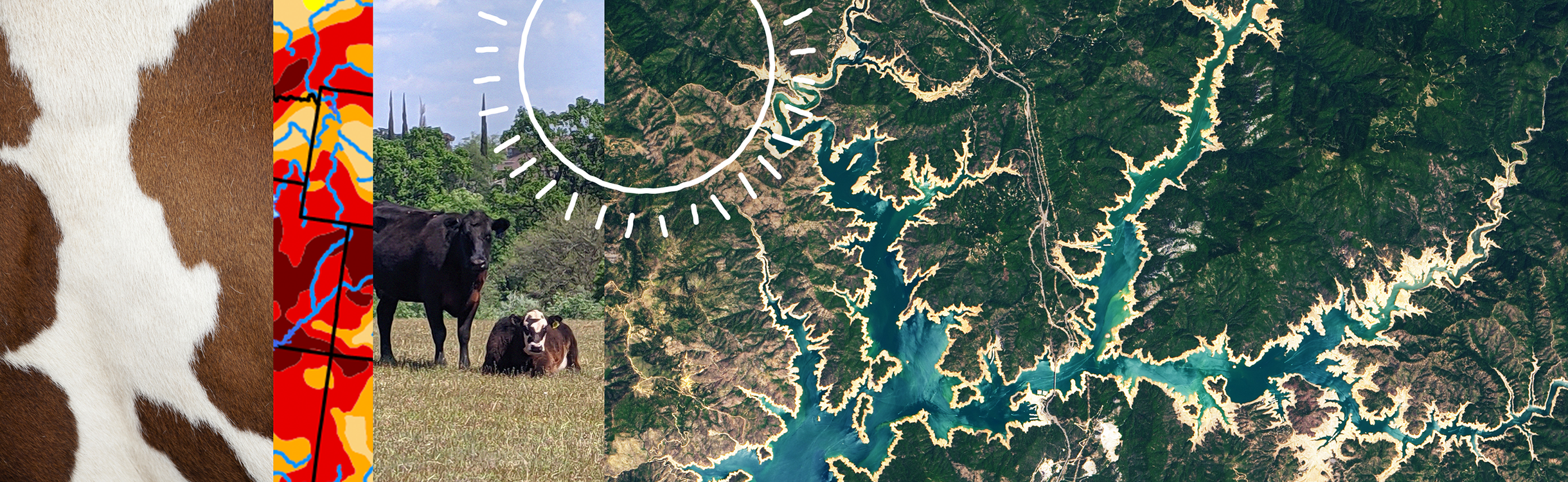
As record drought conditions continue across parts of the U.S., straining American food producers, NASA’s Earth Science Division is meeting with producers and representatives in Nebraska and Kansas. Farmers and other agricultural producers in the U.S. Corn Belt and across the country regularly make decisions about water management, planting, and market decisions based on NASA data delivered by partner agencies and organizations.
Audio of the briefing will livestream on NASA’s website.
The teleconference participants include:
- Karen St. Germain, Earth Science Division director at NASA Headquarters in Washington
- Brad Doorn, program manager, water resources and agriculture, NASA Earth Science Division
- Seth Meyer, chief economist, U.S. Department of Agriculture
- Zach Hunnicutt, owner of Hunnicutt Farms
- Brian Wardlow, director, Center for Advanced Land Management Information Technologies, University of Nebraska Lincoln
- Susan Metzger, associate director for Agriculture and Extension, Kansas State University
During the teleconference, media will learn more about the information, tools, and resources drawn from NASA’s Earth observation satellites and science research, how these are applied to agriculture, and how NASA is working with partners to address data gaps and plan for the future.
Media interested in participating should request the dial in-details at least two hours prior to the start of the call by sending their full name, media affiliation, email address, and phone number to Aries Keck at: aries.keck@nasa.gov. NASA’s media accreditation policy is available online.
NASA’s vantage point from space gives the agency a unique view of our home planet. For more than 50 years, NASA satellites have provided open-source and publicly available data on Earth’s land, water, temperature, weather, and climate. By engaging with an agricultural community adapting to changes in weather and water cycles, NASA can learn about emerging needs and demands to shape future missions. The goal is to put NASA’s Earth science data into the hands of America’s farmers to help them increase food security, improve crop resilience, and reduce the volatility of food prices.
More information about NASA’s work in agriculture is available at:
-end-
Tylar Greene
Headquarters, Washington
202-358-0030
tylar.j.greene@nasa.gov