


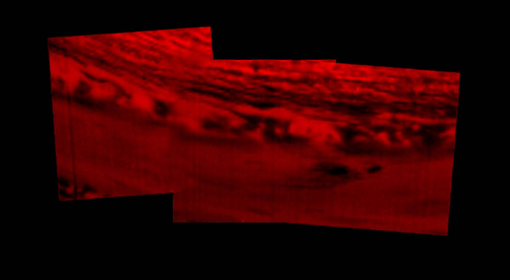

This montage of images, made from data obtained by Cassini’s visual and infrared mapping spectrometer, shows the location on Saturn where the NASA spacecraft entered Saturn’s atmosphere on Sept. 15, 2017.
This view shows Saturn in the thermal infrared, at a wavelength of 5 microns. Here, the instrument is sensing heat coming from Saturn’s interior, in red. Clouds in the atmosphere are silhouetted against that inner glow.
This location — the site of Cassini’s atmospheric entry — was at this time on the night side of the planet, but would rotate into daylight by the time Cassini made its final dive into Saturn’s upper atmosphere, ending its remarkable 13-year exploration of Saturn. This image was taken at approximately the same time as PIA21895.
An annotated version of the image (right) marks the approximate location where the spacecraft entered the atmosphere, at 9.4 degrees north latitude, 53 degrees west longitude.
The Cassini-Huygens mission is a cooperative project of NASA, the European Space Agency and the Italian Space Agency. JPL manages the mission for NASA’s Science Mission Directorate, Washington. The VIMS team is based at the University of Arizona in Tucson.
For more information about the Cassini-Huygens mission visit https://www.nasa.gov/cassini and https://saturn.jpl.nasa.gov.
Image Credit: NASA/JPL-Caltech/University of Arizona