


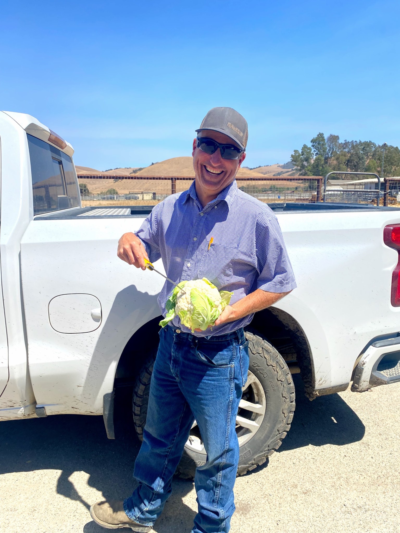
Every day – up to thirty times a day, in fact – one of Mark Mason’s employees at Nature’s Reward Farms in Monterey County, California brings him the results of a soil test for discussion.
Mason supervises fertilizer and irrigation for the farm’s 5,000 acres along California’s Central Coast, which is nicknamed “America’s Salad Bowl” and is one of the most productive and diverse agricultural regions in the world. Those soil test results are key inputs for one of his newest tools: CropManage, which is operated by the University of California Cooperative Extension and uses data from NASA and other sources to create customized irrigation and fertilizer recommendations. In addition to satellite measurements of crop development, it gauges local weather, soil characteristics, and irrigation system efficiency.
“CropManage gives a recommendation back to the person that’s gone out and pulled the soil sample,” Mason explained. “He gets the results, then discusses that with me. I know what the field looks like, so I’ll take CropManage’s recommendations and make a decision based on what I know about the irrigation method, when it will be harvested, the soil type, how the crop looks, and the history of that ground for that time of year.”
If you ate a fruit, vegetable or nut today, chances are good that it came from a farm like Nature’s Reward Farms in California’s Central Coast, or from the nearby Central Valley. Covering more than 20,000 square miles in the Golden State, these regions are home to thousands of farms that grow hundreds of different crops, annually producing more than one-third of the United States’ vegetables and two-thirds of their fruits and nuts.
But central California doesn’t get much rain. Most of the Central Valley’s water comes from streams and reservoirs that capture mountain snowmelt and groundwater stored in porous deposits deep below the surface. These water sources face increasing pressures due to climate change, human use and natural variability, making water management a complex and evolving issue. Monitoring how much water is available to grow our groceries has never been more vital, and NASA’s Earth-observing satellites and partnership programs help farmers, water resource managers and policymakers monitor and allocate increasingly scarce water resources throughout their state.
Credits: NASA / Katy Mersmann
NASA Follows Changing Freshwater from Space
Watching the Water Supply
In an ideal year, heavy snow falls in California’s mountain ranges and accumulates over the winter and spring. The snow acts as a natural reservoir, holding and releasing water gradually into rivers and streams as the weather warms in spring. From there, a system of aqueducts, canals and pipelines carries the water to drier regions of the state. Many farmers in the central parts of the state use this water to irrigate their crops, and also rely heavily on groundwater from wells.
But not every year is an ideal year. In 2021, for example, extreme heat and drought have continued to pummel the West. The winter’s below-average precipitation and exceptionally small snowfall evaporated quickly in high spring temperatures or melted and soaked into soils still parched from a dry autumn and winter. As a result, little water remained to fill reservoirs and nourish plants further down the valley. Already tightly allocated, water supplies in the region have become even more scarce, and some farmers must make hard decisions on which crops will get that water.
NASA researchers closely observe central California’s water sources, how they’re changing over time, and why – and produce information that can be used to determine what to do about it. Satellites, airborne and field missions track snowfall, rainfall, soil moisture levels, groundwater depletion, crop health and evapotranspiration. By providing better information on the quantity of water entering and leaving the system these indicators help farmers determine how much water they will need and how much will be accessible.
Matt Rodell is the associate deputy director of Earth sciences for hydrosphere, biosphere, and geophysics at NASA’s Goddard Space Flight Center in Greenbelt, Maryland. He studies groundwater around the world, using data from NASA’s Gravity Recovery and Climate Experiment Follow-On (GRACE-FO) mission. Groundwater is especially important in places like the Central Valley and Central Coast that don’t get much precipitation and face frequent droughts.
“Groundwater is hugely important because it’s typically always available,” Rodell said. “It’s stored up over many years, or decades, or centuries, or millennia – it’s like your savings account. You always want to have that water set aside so it’s there for hard times.”
California is one of the global hotspots GRACE researchers are studying. It’s one of many areas where groundwater is being depleted more quickly than it’s being recharged.
“People become overly reliant on groundwater,” Rodell said. “Ideally, like your savings account, you’d want to spend less than you invest in it over the long period. But in California, they use so much groundwater that the level has been declining for decades now.”
California recently passed its first statewide groundwater regulation policy, partly in response to groundwater depletion concerns, said Claudia Faunt, a hydrologist at the U.S. Geological Survey and program chief for the groundwater availability and use section at the USGS California Water Science Center in San Diego, California. In some areas, falling groundwater levels lead to subsidence: The land surface sinks as water is extracted from the deposits beneath, and these deposits settle and compact.
“Subsidence issues affect other parts of the infrastructure, and wells are going dry in areas when the water levels have been drawn down,” Faunt said. Drilling deeper when a well runs dry, or drilling new wells in search of water, is expensive and can contribute to even more groundwater depletion.
Other threats to the region’s water supply – like the declining snowpack and changing winter precipitation patterns – are driven by climate change. Also, warming climate will increase evapotranspiration, which contributes to soil moisture deficits and plant water stress, and can affect local weather. As precipitation patterns change, future rainfall scenarios could become increasingly extreme. In California and other parts of the western United States, this will likely look like drought, threatening food production.
Putting NASA Data to Work for California Farmers
To cope with changing conditions, California farmers are looking to new tools and technologies to help them produce the fruits, nuts and vegetables in constant demand by U.S. consumers.
In addition to GRACE-FO studying groundwater, missions like SMAP (Soil Moisture Active Passive) and MODIS (Moderate Resolution Imaging Spectroradiometer) measure soil moisture and evapotranspiration, and GPM (the Global Precipitation Measurement mission) tracks rain and snowfall. The workhorse Landsat program, a joint effort of NASA and the U.S. Geological Survey, has measured crop health and growth for nearly 50 years. Furthermore, NASA collaborates with universities, private companies, research institutions and other government agencies to create tools and programs that put all this data to work. Through NASA Applied Sciences and its Food Security and Agriculture programs, including NASA Harvest, farmers can access usable information to make better decisions on their farms.
Lee Johnson is a senior research scientist at NASA’s Ames Research Center and California State University at Monterey Bay (CSUMB). In partnership with Forrest Melton of NASA’s Applied Sciences program and Alberto Guzman and Will Carrara of NASA Ames, he supports the Satellite Irrigation Management Support (SIMS) system, an online data platform that uses publicly available Earth satellite data and open-source models to map evapotranspiration at the quarter-acre scale.
“Evapotranspiration is a really big part of the hydrologic cycle, and yet in the past, a lot of information on it has been difficult to get or expensive,” Johnson said. “Everyone knows about precipitation; it’s on the home screen of your phone. But evapotranspiration is kind of the reverse process. For growers who want to use it to guide their crop production, this information has been scarce. And if you can’t reliably measure it, it’s harder to manage it.”
“For most crops, evapotranspiration represents the minimum amount of water that has to be replaced through irrigation or precipitation to maintain a healthy crop and maximize crop yields,” said Melton. “Linking satellite-based data from SIMS with CropManage helps farmers like Mark Mason and his team at Nature’s Reward take the guesswork out of estimating the irrigation and fertilizer needs for their crops.”
Another water management tool, GRAPEX (Grape Remote-sensing Atmospheric Profile and Evapotranspiration eXperiment), also uses Landsat data, this time to help vineyard owners. Thermal and visual Landsat images give growers information about their vineyards’ evapotranspiration and plant health and help them make sure they don’t get too wet or too dry.
“The goal of our work is to find ways to put NASA data into the hands of farmers and irrigators in the field, where it can help improve the sustainability of California agriculture,” said Guzman, a senior software engineer at NASA Ames and CSUMB who began his career working in the fields of California. “Partnerships with innovative producers like Nature’s Reward are the key to ensuring that we can take petabytes of satellite data and turn it into information that can be used for day-to-day decision making.”
Keeping Food on the Table
Whether tracking the first winter snows falling in the Sierra Nevada range or helping a California farmer allocate scarce water supplies in summer, NASA missions and programs help growers continue to produce the fruits and veggies we love to eat – while also preparing for and adapting to a warmer, drier future.
To learn more about how NASA supports food and drink industries, visit https://www.nasa.gov/subject/20266/food/.
By Jessica Merzdorf
NASA’s Goddard Space Flight Center, Greenbelt, Maryland