


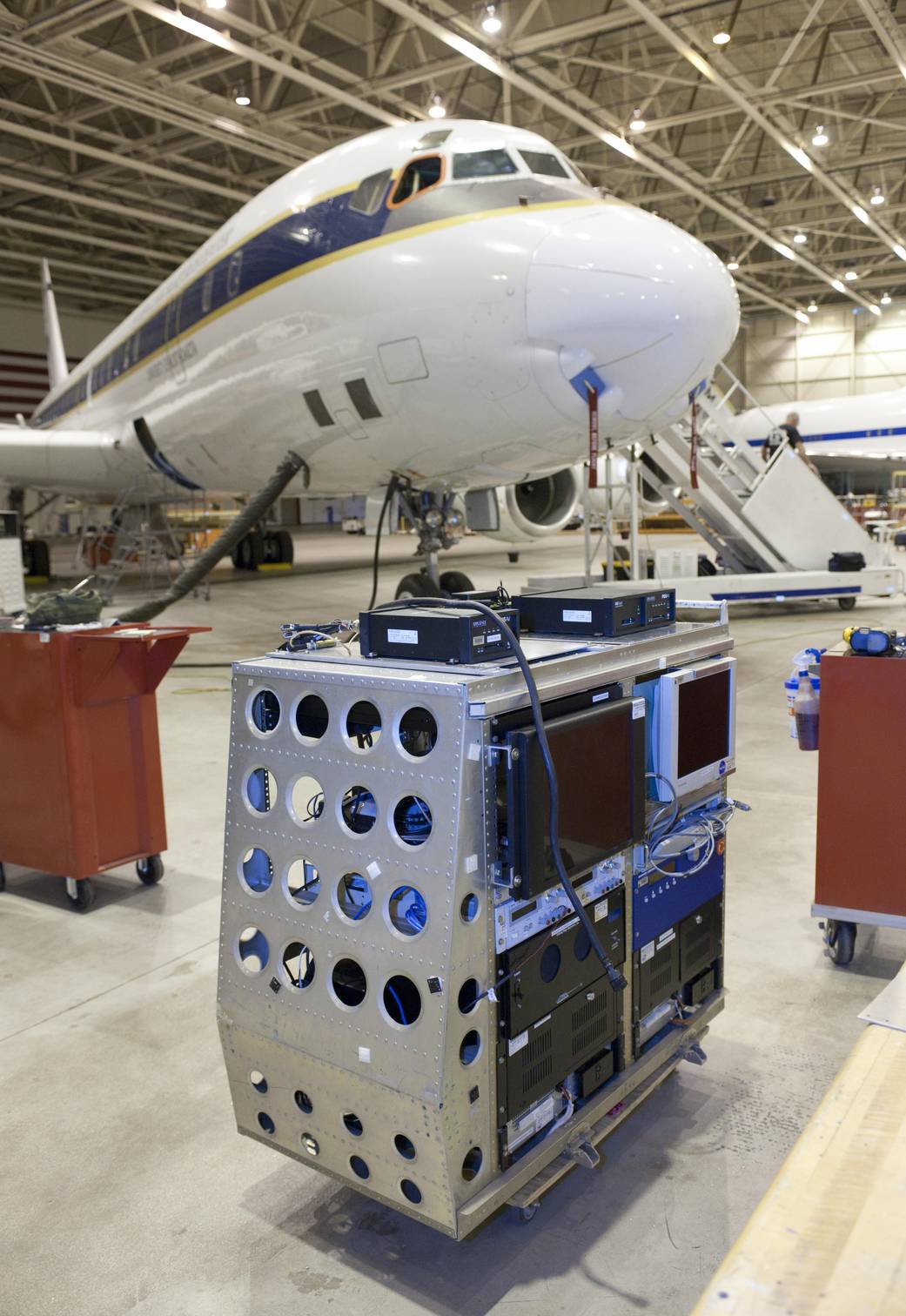
The Laser Vegetation Imaging Sensor, or LVIS, instrumentation rack awaits loading on NASA's DC-8 airborne science laboratory at Building 703 in Palmdale, CA, for the Fall 2009 Operation Ice Bridge deployment to the Antarctic.
ED09-0284-25
Mission: Operation IceBridge 2009
The Laser Vegetation Imaging Sensor, or LVIS, instrumentation rack awaited loading on NASA’s DC-8 airborne science laboratory at Building 703 in Palmdale, CA, for the Fall 2009 Operation IceBridge deployment to the Antarctic. Developed by NASA’s Goddard Space Flight Center, Greenbelt, MD, the LVIS was an aircraft-based laser altimeter that collects data on topography and vegetation coverage. The six-week IceBridge mission flights were staged from Punta Arenas, Chile.September 29, 2009
NASA Photo / Tom Tschida