
























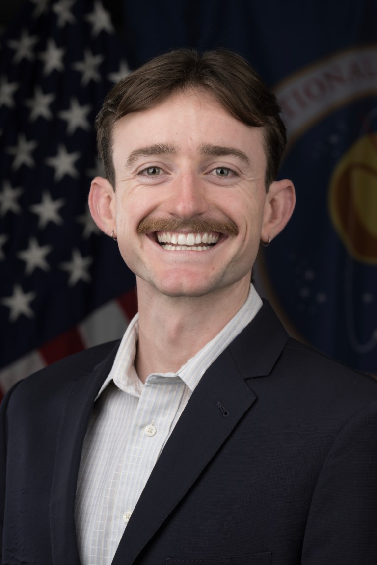
Patrick Kerwin
Geospatial Analyst, Contractor, Disaster Response Coordination Office, Science Directorate, NASA Langley Research Center
Patrick Kerwin is a Geospatial Analyst for NASA’s Disasters Response Coordination System (DRCS). In this role he supports automation, optimization, and GIS activities. Patrick brings a cross-disciplinary background in GIS, anthropology, science communication, and remote sensing science to help deliver accurate and actionable data to emergency management partners. He initially joined DRCS as an intern in 2024. Previously, Patrick provided GIS support for water rights adjudications at the Arizona Department of Water Resources and worked as an environmental educator in Minnesota. He was also a DEVELOP participant at NASA Ames, using Earth observations to help partners prioritize future urban tree plantings. Patrick holds a BA in Anthropology from Colorado College and an MS in GIS from the University of Arizona.