NASA Hampton Roads Coastal Resilience Project
Background
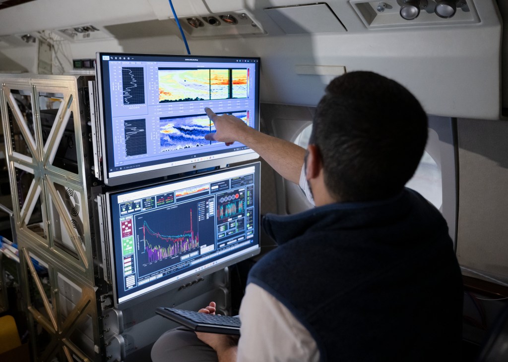
We’re using NASA satellite data and state-of-the-art prediction models to help Hampton Roads communities prepare for storms, flooding, and heat waves. Our work supports Virginia’s resilience plans and provides tools for our communities to protect residents, ecosystems, and infrastructure.
| Why Hampton Roads Needs This Project Hampton Roads faces the fastest sea level rise on the East Coast – up to 5 inches per decade from rising oceans and sinking land. Current flood maps only show coastal flooding and miss the full picture: what happens when high tides, rainstorms, and coastal flooding all hit at once? This is one question we’re going to answer. How We Are Helping We are creating detailed local flood predictions for different storm scenarios to improve stormwater systems and inform future drainage improvement projects. We are also providing heat stress data from NASA’s Risk Analysis and Solutions Innovators (RASI) program to support public health planning, ecosystem protection, and building energy efficiency. Who We Are Working With This project is a partnership between NASA Langley Research Center, Hampton Roads Planning District Commission, the cities of Hampton, Norfolk, and Virginia Beach, five universities (Hampton University, Old Dominion University, William & Mary VIMS, Florida International University, and Columbia University), Tidewater Sentinel Landscape, Sustainability Solutions Group and Institute/Center for Sustainable Communities, and you. | 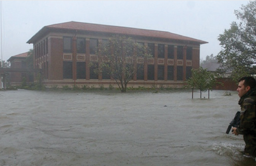 Compound (storm-surge, tidal, and rainfall) flooding at Langley Air Force Base during Hurricane Isabel produced an 8-foot peak storm tide on September 18, 2003 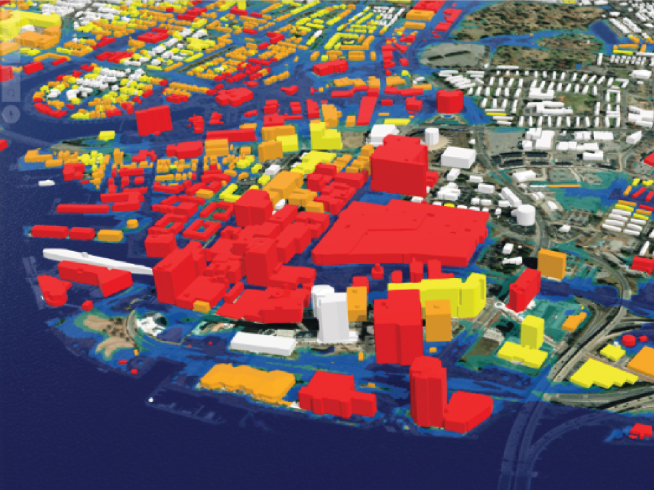 Visualization of building vulnerability to minor (yellow), moderate (orange), and major (red) flooding thresholds in Norfolk, VA (Sweet et al., 2017) |
Project Lead
Patrick Taylor – patrick.c.taylor@nasa.gov
Supporting Community Resilience Team
Cynthia Rosenzweig – cynthia.rosenzweig@nasa.gov
Nick Pelaccio – nick.pelaccio@nasa.gov
Garry Harris – gharris@sustainabilitysolutionsgroup.org