


![Request for Information – Potential [Placeholder for Prize]](https://assets.science.nasa.gov/dynamicimage/assets/science/psd/solar/2023/09/s/solarsystem_0.jpg?w=1024)


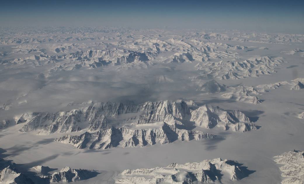
The Oceans Melting Greenland (OMG) field campaign team is flying NASA’s G-III aircraft at about 40,000 feet. On a clear day, this altitude also provides a stunning perspective of one of the world’s two great ice sheets (the other is Antarctica). The flight Saturday, March 26, over the northeast coastline was one of those clear days.
The OMG team is now just a few flights away from mapping glacier heights around the entire coast of Greenland. These measurements will form the baseline of this first-of-its-kind experiment, clarifying the picture of how Greenland’s glaciers are responding at a time when many signs point to accelerating change.
OMG will pave the way for improved estimates of sea level rise by investigating the extent to which the oceans are melting Greenland’s ice. OMG will observe changing water temperatures and glaciers that reach the ocean around all of Greenland from 2015 to 2020.
Image Credit: NASA