


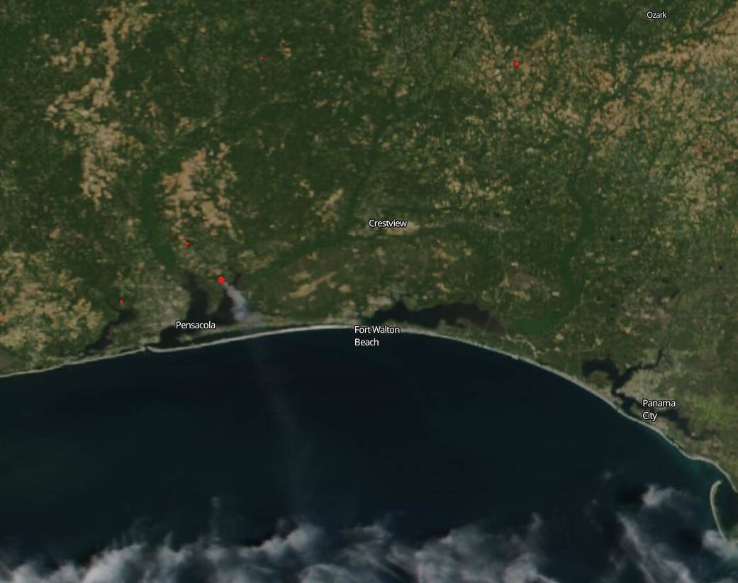
In Florida’s panhandle, a prescribed fire grew out of control on Wednesday, May 6, 2020 under perfect fire conditions: low humidity coupled with high winds. NOAA/NASA’s Suomi NPP satellite captured this image of the smoke cascading from the fire on May 7, 2020. According to the National Interagency Fire Center the fire has been dubbed the Five Mile Swamp fire and is located 2 miles south of the city of Milton in the panhandle. As of May 8, the fire had burned 2,000 acres and is burning in southern rough and tall grass. It is exhibiting extreme fire behavior and hundreds of residents in the area have been evacuated because of the fire’s spread. Firefighters are expecting a shift of winds and an increase in wind speeds Friday with a resultant uptick in the fire’s intensity. To date thirteen homes have been lost to the fire.
NASA’s satellite instruments are often the first to detect wildfires burning in remote regions, and the locations of new fires are sent directly to land managers worldwide within hours of the satellite overpass. Together, NASA instruments detect actively burning fires, track the transport of smoke from fires, provide information for fire management, and map the extent of changes to ecosystems, based on the extent and severity of burn scars. NASA has a fleet of Earth-observing instruments, many of which contribute to our understanding of fire in the Earth system. Satellites in orbit around the poles provide observations of the entire planet several times per day, whereas satellites in a geostationary orbit provide coarse-resolution imagery of fires, smoke and clouds every five to 15 minutes. For more information visit: https://www.nasa.gov/mission_pages/fires/main/missions/index.html
NASA’s Earth Observing System Data and Information System (EOSDIS) Worldview application provides the capability to interactively browse over 700 global, full-resolution satellite imagery layers and then download the underlying data. Many of the available imagery layers are updated within three hours of observation, essentially showing the entire Earth as it looks “right now.” This satellite image was collected on May 07, 2020 by NOAA/NASA’s Suomi NPP satellite. Actively burning fires, detected by thermal bands, are shown as red points. Image Courtesy: NASA Worldview, Earth Observing System Data and Information System (EOSDIS). Caption: Lynn Jenner with information from the National Interagency Fire Center.