![Request for Information – Potential [Placeholder for Prize]](https://assets.science.nasa.gov/dynamicimage/assets/science/missions/a-step/FFR_Earth_Background_20251120%20.png?w=1024)


This summer, as wildfire smoke blankets large swaths of North America and heat-stoked summer haze reaches its seasonal peak, NASA and its partners are deploying several new tools to observe air quality and pollution from the street to the stratosphere.
Launched into orbit earlier this spring, TEMPO, short for Tropospheric Emissions: Monitoring of Pollution, is the first satellite instrument that will measure air quality over North America hourly (during daylight hours) and at the resolution of a few square miles. Its field of view stretches from Mexico City to central Canada and from the Atlantic Ocean to the Pacific. NASA’s newest atmospheric chemistry instrument will soon begin transmitting data for scientific use.
Meanwhile, some 22,000 miles below, a separate NASA mission will complement the new satellite measurements with air quality observations from the field. The summer 2023 campaign includes a fleet of aircraft, laboratories on wheels, weather balloons, and hundreds of scientists who have mobilized to track pollution in unprecedented detail. That mission, Synergistic TEMPO Air Quality Science (STAQS), is examining the air we breathe in several North American population centers: New York City, Chicago, Los Angeles, and Toronto. The goal is to map air pollutants from the ground to the upper troposphere, track where they come from and how they change hour by hour, and identify neighborhoods disproportionately exposed to unhealthy air.
“It’s the combination of satellite, airborne, and ground data that will help answer the fundamental question: what are we breathing?” said Barry Lefer, head of the Tropospheric Composition Program at NASA headquarters in Washington. “We can map inequalities like never before.”
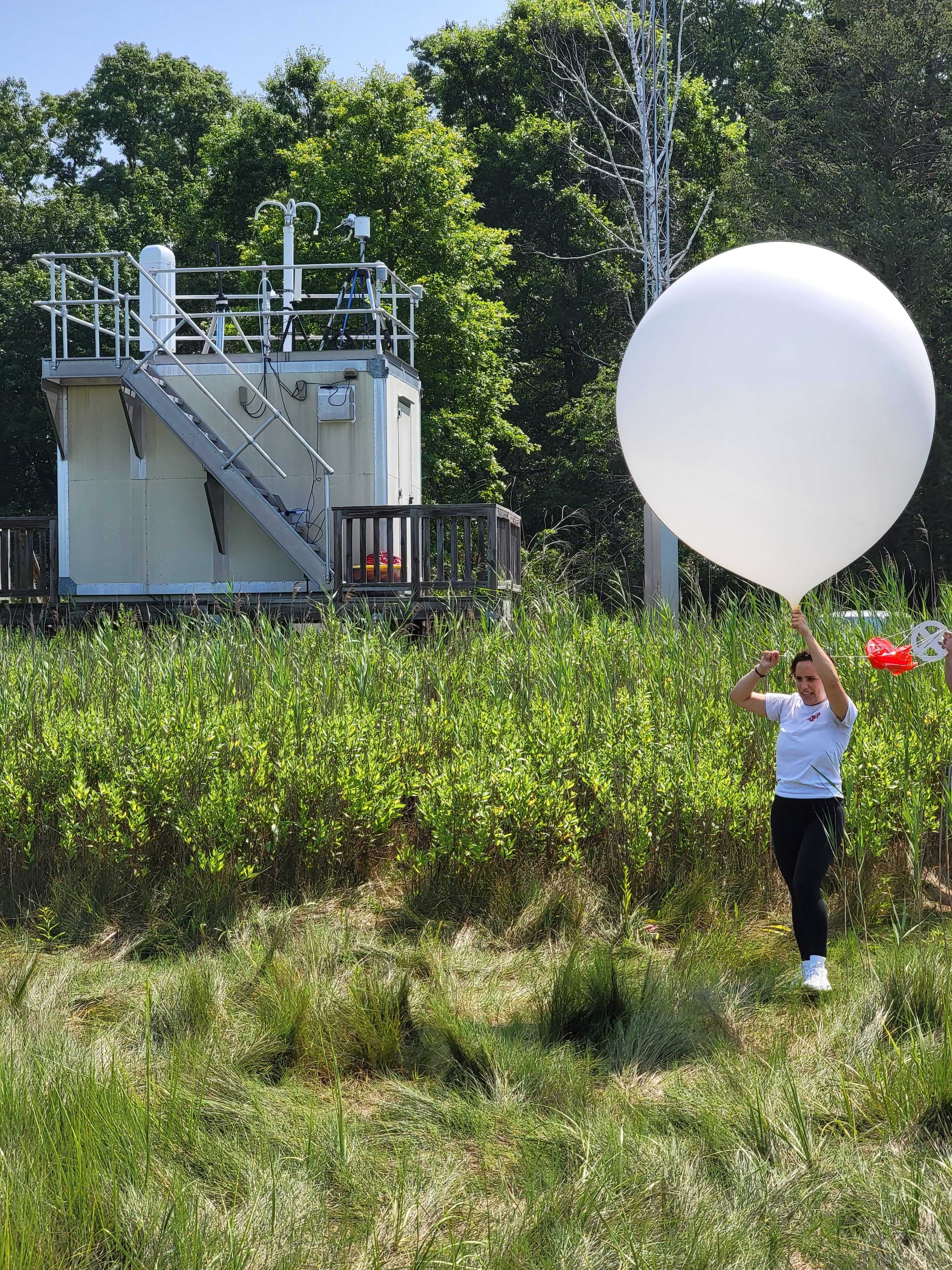
Credits: NASA’s Goddard Space Flight Center / Kathleen Gaeta
Download this video in HD formats from NASA Goddard’s Scientific Visualization Studio
NASA and NOAA’s STAQS campaign is taking to the skies and ground this summer to support TEMPO satellite data. Scientists will compare the air quality data they measure from planes with what TEMPO measures from orbit, making both measurements better.Credits: NASA’s Goddard Space Flight Center / Kathleen Gaeta
One of the key pollutants the STAQS team and TEMPO will monitor is nitrogen dioxide, or NO2, which is commonly emitted by tailpipes and smokestacks and a key ingredient in ground-level ozone, or smog. The missions will also measure fine particulate matter, volatile organic compounds like formaldehyde, and methane and carbon dioxide, which are potent greenhouse gases that trap heat in Earth’s atmosphere.
The STAQS team isn’t operating alone. NOAA is leading the complementary AEROMMA field campaign to study air pollution this summer, one of several government and university-led efforts. With collaborators from more than 20 universities, several regional consortiums, state and local governments, plus NOAA, NASA, and other federal agencies, scientists are working together to “build a coast-to-coast air quality community that’s stronger than the sum of its parts,” Lefer said.
Air Quality is Better, but Not Everywhere
Improved air quality is one of the great success stories of the past several decades, said Laura Judd, associate program manager for Health and Air Quality Applications in NASA’s Applied Sciences Program. Regulations have led to significant reductions in harmful NO2 emissions and have slashed sulfur dioxide — a driver of acid rain — so dramatically that the latter can be hard to detect using satellite instruments.
“But the challenge is that poor air quality issues are becoming more localized,” Judd said.
For example, in Chicago — a freight hub — the STAQS team will be monitoring ozone that pools along the Lake Michigan shoreline, as well as high levels of truck exhaust that impact neighborhoods surrounding large warehouses. Pinpointing such discrepancies is vital because when local air pollution levels exceed federal standards, the pollutants can aggravate lung diseases such as asthma, emphysema, and chronic bronchitis among people living and working in the area.
“Are local air pollutants concentrated around airports? Are they coming from idling vehicles near warehouses?” said Judd, who leads the airborne component of STAQS. “The people who make air quality decisions that impact communities need the most accurate and precise information possible.”
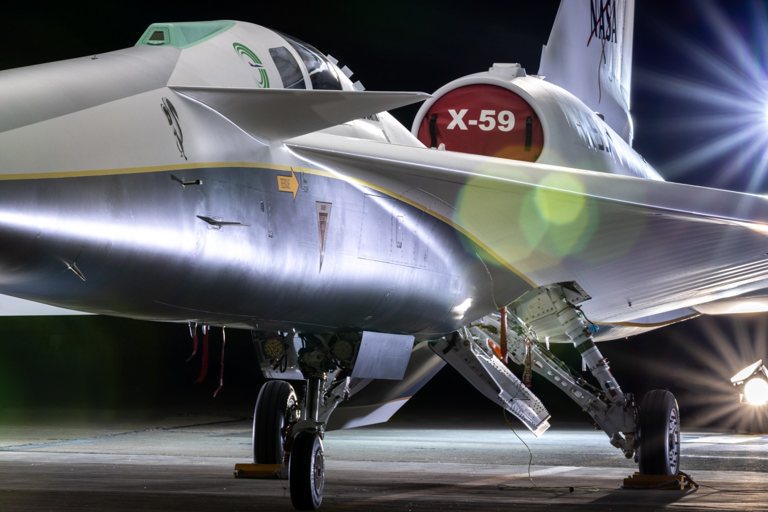
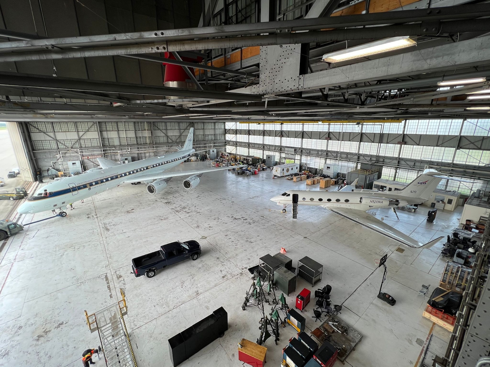
To enable that level of precision, her team is deploying two research aircraft equipped with remote sensors, including spectrometers that serve as a proxy for the new TEMPO instrument in space. “TEMPO on a plane” will be mounted on a Gulfstream-V aircraft provided by NASA’s Johnson Space Center, and it will be flown over the target cities to map pollutants up to three times per day. The goal is to better understand how factors such as traffic patterns and weather influence air quality at different times of the day. It will also help scientists evaluate the early data coming in from the “real thing” in orbit above Earth.
It’s critical to understand how air quality changes hour by hour, mile by mile, because every community has a unique story to tell, said John Sullivan, who leads the ground-based operations for STAQS and studies atmospheric chemistry from NASA’s Goddard Space Flight Center. While aircraft fly overhead, ground-support teams will use research trailers equipped with state-of-the-art sensors.
“Together we can get a 3-D perspective of air pollution moving and mixing in different layers of air,” said Sullivan, project scientist of the Tropospheric Ozone Lidar Network (TOLNet), a high-powered network of lasers used to identify and locate pollutants. For example, during a STAQS deployment to New York, the ground teams collaborated to track a 1.5-mile (2.4-kilometer) high plume of ozone moving downwind across the Long Island Sound and the Connecticut shoreline within an 8-hour period.
Remote-sensing instruments like TOLNet and Pandora — a global network of sky-scanning spectrometers that measure many of the same trace gases as TEMPO — will operate regularly during the STAQS campaign, providing observational “anchor points” for the mission. Moreover, many of the STAQS instruments will be operated in areas where there is existing trace-gas analyzing equipment managed by national and local air quality agencies. The combination of measurement efforts and tools will allow scientists to compare and augment all of the observations.
“At the end of the day, the super-users of STAQS findings and TEMPO data will be the state and local air quality agencies who are fundamentally trying to address questions about public health and chemical transport of air pollutants,” Sullivan said. “We want to provide data to them that can help answer those questions.”
By Sally Younger
Jet Propulsion Laboratory, Pasadena, Calif.
sally.m.younger@jpl.nasa.gov