


A silvery metal tube jutting out of thick ice stands alone amid a vast landscape of endless white in Antarctica.
This 30-foot tube, equipped with weather sensors poking out at perpendicular angles, is able to record Arctic temperature, pressure, windspeed and other conditions, but is not adept at formatting and sharing its data with scientists.
A NASA-funded technology aims to fix that. With new software, scientists will be able to easily access weather data in the Arctic, allowing them to better understand weather locally and better assess climate change impacts globally.
Modernizing Weather Station Data
Various setups similar to the shiny metal tube, called Automated Weather Stations, or AWS, cover Antarctica and Greenland. Although they collect vital data, AWS networks use different “homebrewed” data formats from the 1980s and ‘90s, making them difficult to parse, said Charlie Zender, a professor and atmospheric physicist with the University of California, Irvine. “The data are like a kid’s bedroom after a sleepover.”
To fix this, Zender and his team created software that converts messy AWS data to a new, clean format. Zender dubbed the software “JAWS,” which stands for “Justified Automated Weather Station,” in homage to the “justify” tool on Microsoft Word, which formats mismatched paragraphs into perfect rectangles.
Zender and his team are currently delivering this free software, funded by the NASA Earth Science Technology Office, to climate database managers who can then make AWS data widely available and accessible for scientists. The goal is to help scientists answer pressing questions, like what’s causing Greenland’s ice sheet to melt, Zender says.
Greenland
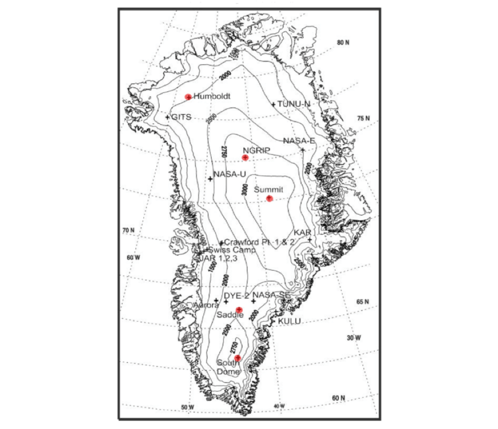
There are approximately 40 AWS nestled throughout the Greenland ice sheet. About 18 of these AWS make up the Greenland climate network (GC-Net), which monitors regional climates and ice sheet changes.
The Greenland ice sheet is crucial to global climate. It is extremely reflective, bouncing the sun’s energy away from Earth, sits at a high elevation, covers a large area and stores a substantial volume of fresh water. Greenland’s ice volume was equivalent to approximately 22 feet (6.7 meters) of sea level rise in 2001.
GC-Net’s data is valuable but not easily usable right now, Walt Meier, a Senior Research Scientist with the National Snow and Ice Data Center, says. He hasn’t tested JAWS yet but is looking at using the software to collect and distribute GC-Net data. JAWS adds metadata, Meier says, including latitude, longitude, units, scaling and other descriptions.
JAWS will make data “more adaptable and usable for a broader audience,” Meier said. In particular, climate modelers will be able to incorporate these data into their formulas. “Current models don’t do a great job in Greenland,” Meier said, because of the inability to incorporate the GC-Net data. But hopefully that will change soon.
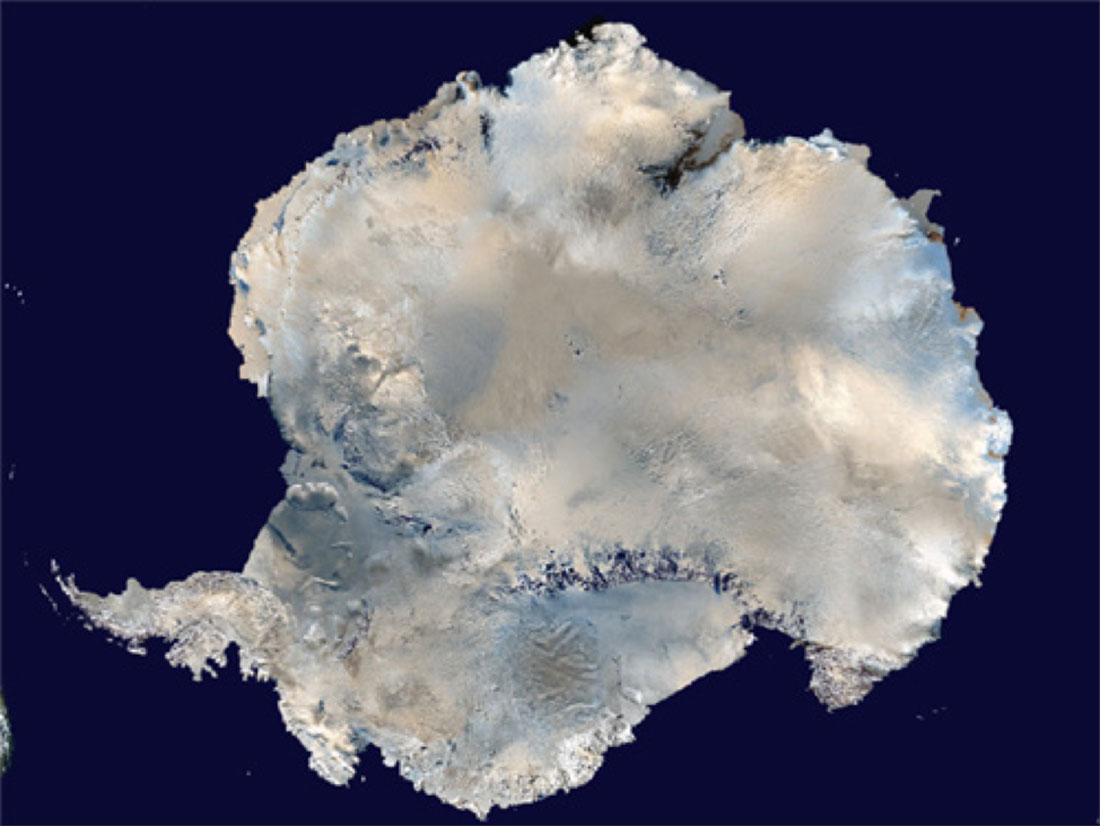
Antarctica
In addition to helping scientists model the future, JAWS also helps scientists understand the past. Peter Kuipers Munneke, a researcher with Utrecht University, successfully used JAWS to pull data from an AWS on a glacier in the Antarctic Peninsula. He published a paper with the first ever documented discovery of wintertime surface melt in Antarctica.
Munneke found that even though there is no sunlight during winter months, ice sheets are melting as warm winds pass over the surface. AWS data revealed this wintertime melt, highlighting how quickly ice is disappearing in the Antarctic Peninsula.
Moving forward
An AWS allows researchers to virtually visit extreme Arctic environments. “We need AWS data to see what’s happening on the surface,” Zender said, and satellites to see changes on a wider scale. The best science comes from combining surface and satellite observations, he said.
Zender acknowledges that lack of manpower and funding could hinder how quickly researchers use JAWS, but hopes that its potential and availability will entice many.
JAWS even corrects AWS data compromised by weather impacts on and tilting of the AWS itself, saving researchers a lot of money. “It’s cheaper to correct data rather than fly to Antarctica to fix a piece of equipment,” Zender said.
You can download JAWS directly from GitHub.
By: Elizabeth Goldbaum
NASA’s Goddard Space Flight Center, Greenbelt, Md.