


![Request for Information – Potential [Placeholder for Prize]](https://assets.science.nasa.gov/dynamicimage/assets/science/psd/solar/2023/09/s/solarsystem_0.jpg?w=1024)


CALIPSO, a lidar satellite that advanced the world’s understanding of climate, weather, and air quality, ended its scientific mission on Aug. 1, 2023.
Across 17 years of operation, the Cloud-Aerosol Lidar and Infrared Pathfinder Satellite Observation recorded more than 10 billion lidar measurements and informed thousands of scientific reports. CALIPSO was launched jointly by NASA and the France’s Centre National d’Etudes Spatiales/CNES and in tandem with the cloud-profiling radar system on the CloudSat satellite.
“We had to build, for the first time, a sophisticated lidar capable of operating in space,” said Chip Trepte, NASA’s project scientist for CALIPSO. “Then we intended to fly that satellite in close formation to match the CALIPSO lidar profile measurements with the radar profile measurements from CloudSat.”
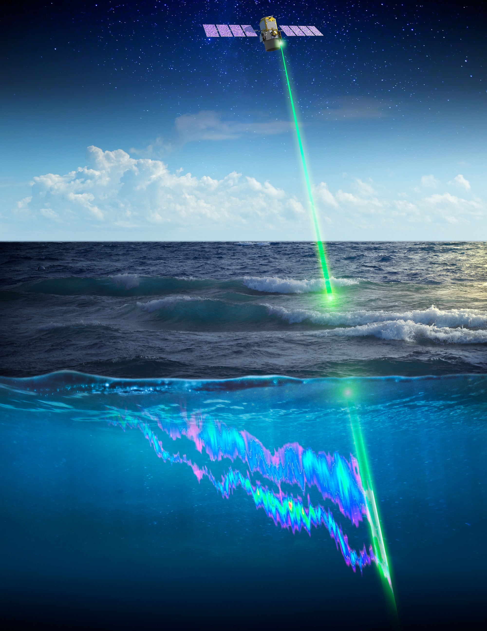
Lidar and radar are considered “active” sensors because they direct beams of energy at the Earth — laser light in the case of CALIPSO and radio waves in the case of CloudSat — and then measure how the beams reflect off the clouds and aerosols in the atmosphere. Other orbiting science instruments use “passive” sensors that measure reflected sunlight or radiation emitted from the Earth or clouds. The combined data from CALIPSO and CloudSat provided new insights into cloud structures and aerosol layers.
Launching together on April 28, 2006, the two satellites circled the globe in Sun-synchronous orbits from the North to the South poles, crossing the equator in the early afternoon every day. They probed the vertical structure of the atmosphere, measuring the altitude of clouds and layers of airborne particles such as dust, sea salt, ash, and soot.
The unique and nearly simultaneous observations allowed scientists to build a more sophisticated understanding of several atmospheric processes including cloud formation, atmospheric convection, precipitation, and particle transport.
For example, during Australia’s massive 2020 wildfires, CALIPSO observed smoke soaring between 9 and 12 miles above Earth’s surface. It was high enough to reach the stratosphere, one of the highest plumes ever recorded.
NASA Earth Science Division Director Karen St. Germain delivered this message celebrating the CALIPSO science team and other members of the science community.Credits: Eric Galler, NASA HQ
Volcanic ash is a hazard to aircraft. The fine, glassy particles can affect visibility and cause engines to stall. “One of CALIPSO’s most important applications was detecting the presence and measuring the altitude of ash plumes from volcanic eruptions,” Winker said. “These observations were used by Volcanic Ash Advisory Centers around the world to alert and direct commercial aviators to avoid flying into the plumes.” When a volcano erupted in Iceland in 2010, volcanic ash drifted south over Europe causing several countries to ground all flights. Observations from CALIPSO allowed scientists to issue warnings to pilots.
Winker pointed to the international community of CALIPSO data users as one of the satellite’s legacies. “Hundreds of students around the world learned how to use CALIPSO lidar data in their graduate research, forming an international community that is now prepared to use data from the next satellite lidar.”
“Partnerships allow for one or more teams to accomplish together what is not possible alone,” Trepte added. “For CALIPSO, a partnership with CNES was ideal,” he said. “They had a long history with spacecraft and with lidar science, and we were able to build and operate a tremendous mission that advanced our understanding of climate, weather, and air quality.”
NASA’s Langley Research Center in Hampton, Virginia, provided the aerosol-measuring lidar carried by CALIPSO. The Centre National d’Etudes Spatiales, or CNES, in Toulouse, France, provided the CALIPSO spacecraft. The Canadian Space Agency, or CSA, in Montreal, Canada and the Jet Propulsion Lab in Pasadena, California, built the radar on CloudSat. The labs of Ball Aerospace Corporation in Boulder, Colorado, built the CloudSat spacecraft and payload. Fibertek built the CALIPSO laser.
“I have a feeling of accomplishment that the mission we conceived 25 years ago operated successfully over a long period of time,” Winker said.
Credits: NASA Langley/Roman Kowch
By Charles Hatfield, Langley Research Center
charles.g.hatfield@nasa.gov