


Audience
Educators
Grade Levels
Grades 5-8, Grades 9-12
Subject
Mathematics, Technology, Measurement and Data Analysis, Models, Remote Sensing
Type
Lesson Plans / Activities
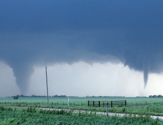
NOAA and NASA’s Joint Polar Satellite System (JPSS) provides data and imagery to scientists, businesses, planners, and government agencies so they can make maps with helpful information. Known as Geographic Information Systems, these GIS maps can be used to keep track of events, facts, activities, objects, and more. In this activity, students are introduced to the process of making a basic GIS map that documents tornado touchdowns.
Click here to download the lesson plan.