


A massive wildfire on the island of Maui, Hawaii began mid-morning on Thursday, July 11, 2019. The cause of the fire remains unknown. Over 10,000 acres of old sugar cane fields and dry vegetation burned quickly and the fire grew so swiftly that thousands of residents near the fire were evacuated. Winds blowing at 20 mph caused the fire to spread and fanned flames crossed into fallow fields.
As of July 12, the fire still continues to burn, but residents were allowed to return to their homes just hours after they were evacuated on July 11. They were, however, warned to remain vigilant in case conditions change.
Maui County Mayor Michael Victorino viewed the Central Maui wildfire from a helicopter Thursday afternoon. “I’m very happy to report that there have been no reports of injuries or significant property damage,” Mayor Victorino said. “The fire came very close to some structures in South Maui, including the Maalaea Power Plant, but firefighters were able to prevent damages.”
On July 12 at 3:22 a.m. HST (9:22 a.m. EDT) the National Weather Service office in Honolulu, Hawaii said of the smoke plume from the fire that “the latest guidance continues to depict the mean low-level wind flow/transport winds will remain out of the east at moderate to breezy levels. The north to northeast surface winds over the valley will trend up through the late morning and afternoon hours today, likely becoming gusty by the afternoon. Winds may become variable at times due to the location of the wildfire being downwind of Haleakala.”
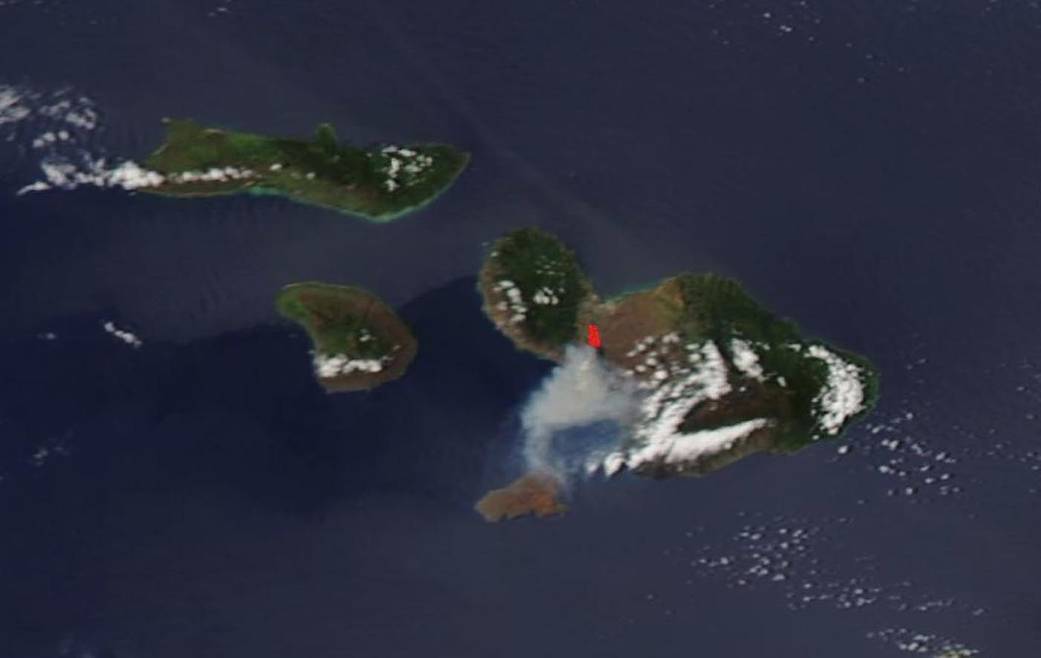
NASA’s Earth Observing System Data and Information System (EOSDIS) Worldview application provides the capability to interactively browse over 700 global, full-resolution satellite imagery layers and then download the underlying data. Many of the available imagery layers are updated within three hours of observation, essentially showing the entire Earth as it looks “right now.” This natural-color satellite image was collected by the Moderate Resolution Imaging Spectroradiometer (MODIS) aboard the Aqua satellite on July 12, 2019. Actively burning fires, detected by thermal bands, are shown as red points. Image Courtesy: NASA Worldview, Earth Observing System Data and Information System (EOSDIS). Caption: Lynn Jenner with information from the County of Maui website and information from the National Weather Service.