


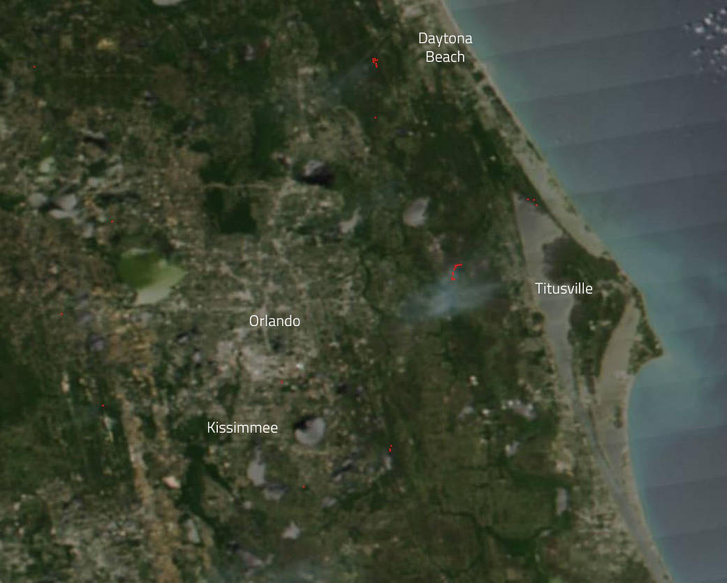
Florida Highway Patrol reports that a brush fire started as a car fire that spread on April 17, 2019 near Port St. John, Florida. NASA/NOAA’s Suomi NPP satellite captured the area of the fire and the smoke that drifts up from the conflagration. The fire spread to 300 acres and was threatening a horse rescue farm when fire authorities were able to contain the fire. Authorities report that at present the fire is 90% contained. In this image winds from the east are pushing the smoke westward into parts of Orange County.
NASA’s Earth Observing System Data and Information System (EOSDIS) Worldview application provides the capability to interactively browse over 700 global, full-resolution satellite imagery layers and then download the underlying data. Many of the available imagery layers are updated within three hours of observation, essentially showing the entire Earth as it looks “right now.” Actively burning fires, detected by thermal bands, are shown as red points. Image Courtesy: NASA Worldview, Earth Observing System Data and Information System (EOSDIS). Caption: Lynn Jenner