


The center of Hurricane Elsa has formed to the east of the Windward and southern Leeward islands and is expected to bring heavy rainfall to those areas over the weekend, according to an update Friday from the National Hurricane Center.
The storm is moving toward the west-northwest at almost 30 miles an hour, and its forecast track could bring it to the Florida Keys early next week.
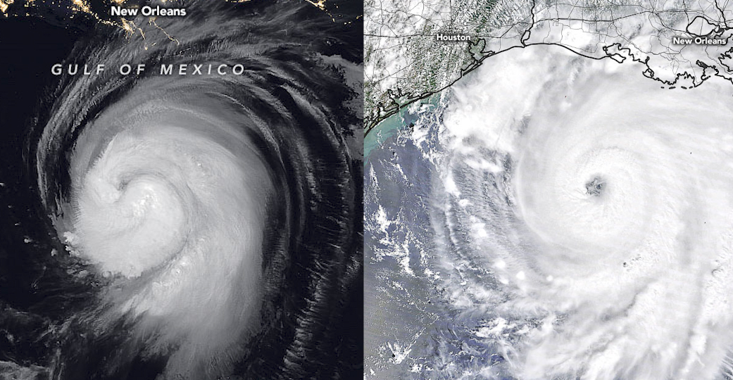
June 1 marked the official start of the Atlantic hurricane season, which officially ends Nov. 30. After 2020 brought a record number of named storms in the Atlantic basin, NASA is once again prepared to help understand and monitor these storms from the unique vantage of space with experts available to provide insights on hurricanes and other extreme weather events.
Using data from its 20-plus Earth-observing satellites, NASA plays a foundational role in the science of hurricanes. For operational forecasting, the agency’s main role is through its crucial partnership with the National Oceanic and Atmospheric Administration (NOAA). NASA designs, builds, and launches NOAA’s suite of satellites that provide the data that specifically feed numerical weather prediction models. Scientists from NASA and NOAA also collaborate to continuously improve these models.
Climate change is increasing the heat in the ocean basins and making it more likely that storms will intensify faster and become stronger, a phenomenon NASA scientists continue to study.
“As climate change intensifies and makes natural hazards like hurricanes more damaging, NASA is more committed than ever to innovative Earth science research,” said NASA Administrator Bill Nelson. “Our next-generation Earth System Observatory will build on NASA’s existing capabilities to provide an unprecedented understanding of the Earth from bedrock to atmosphere, so we are better prepared to protect our communities from hurricanes and other extreme weather events.”
NASA’s goal for disaster preparedness, response, mitigation, and recovery is bridging the gap between data and the people who need it. Before, during, and after a hurricane or tropical storm makes landfall, NASA satellites are in prime position to identify impacts.
NASA works with local officials and first responders, federal agencies such as FEMA and the U.S. Army Corps of Engineers, and infrastructure experts to determine what information they need and to supply it in usable formats in real time. Examples include information on infrastructure failures and disruptions, contaminated water supplies, and other hotspots for urgent response needs.
NASA welcomes media inquiries about its role in studying and understanding hurricanes. NASA scientists and experts, who represent a cross-section of expertise in hurricane science, such as atmospheric science, oceanography and modeling, as well as NASA’s disaster response, are available for media interviews, as schedules allow.
To inquire about interview availability with these scientists, please contact Jacob Richmond at: jacob.a.richmond@nasa.gov.
For general NASA hurricane science reference material, visit:
and
The following are some of NASA’s most popular public-domain, open-source imagery products:
- The record-breaking 2020 Atlantic hurricane season, visualized with overlaid tracks:
- NASA Disasters Mapping Portal, provides near-real time data on current events:
- Satellite data showing 3D view of Hurricane Zeta’s intense rainfall:
- Latest precipitation analysis and animation of the past seven days (auto-updates):
- NASA “night lights” data shows Puerto Rico’s power outages after Hurricane Maria:
- The 2017 hurricane season, visualized by the movement of dust, smoke and sea salt:
All NASA-created content is in the public domain and free for media usage.
For other Earth science videos, visit:
For all NASA scientific data visualizations and animations, visit:
-end-
Tylar Greene
Headquarters, Washington
202-358-0030
tylar.j.greene@nasa.gov
Jake Richmond
Goddard Space Flight Center, Greenbelt, Md.
301-286-6255
Jacob.a.richmond@nasa.gov