


Internet of Animals
- Motivation: Importance of animal tracking
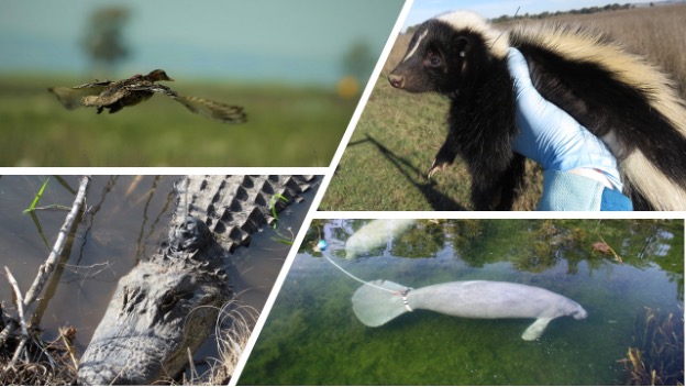
Animal tracking tells scientists where animals go. With this knowledge, we can understand behaviors and estimate dynamic habitat requirements. In turn, this information can help improve ecological management and conservation, like assessing whether animals stay within protected areas, or how diseases like avian flu move through regions. By combining animal tracking with Earth Observations (remote sensing) like temperature and changes in vegetation, we can estimate how animal movement might change with changing climates. Taken together, animal tracking can better inform biodiversity research.
- Architect a next-generation space-based animal tracking system
Current technology for animal tracking has advanced dramatically over recent decades but is still limited in its spatial resolution, temporal resolution, and ability to track small animals. Improved technology enables researchers to process large amounts of data (including both on-board and general data processing). Space-based technology provides an opportunity to decrease the weight and cost of tracking devices, which could allow tracking of more species at higher resolution with more auxiliary data (accelerometry, heart rate, temperature). The Internet of Animals project aims to understand the needs of the animal tracking community to design a space-based system that efficiently meets these needs.
- Combine animal telemetry data with earth observations
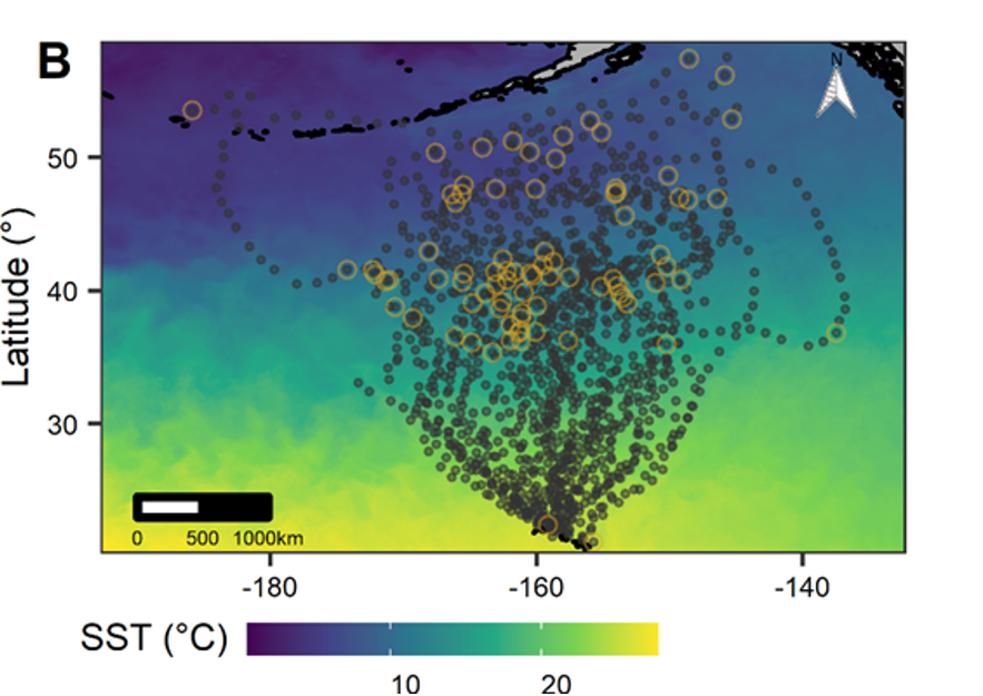
Earth observations from satellites and other remote sensing technologies provide information relevant to animal movement ecology, including data on food availability (e.g., the Normalized Vegetation Difference Vegetation Index, a measurement of vegetation greenness) and thermal conditions (e.g., sea surface temperature). Linking these remotely sensed data sets to animal telemetry is an important way that scientists can understand how the environment affects animal behavior, and how these relationships might change in the future under global environmental change. In addition, animal telemetry itself can serve as an earth observation, either through animal-borne sensors (e.g., temperature or salinity sensors) or by using known movement-environment relationships to infer local environmental conditions. Animal tracking and remote sensing data are also increasingly available at high spatial and temporal resolutions, which provides opportunities for more detailed and mechanistic understanding of earth systems. The IOA project aims to link remotely sensed data on Earth’s environment with animal telemetry to answer theoretical and applied questions in biodiversity science, ecological management, and earth sciences.