


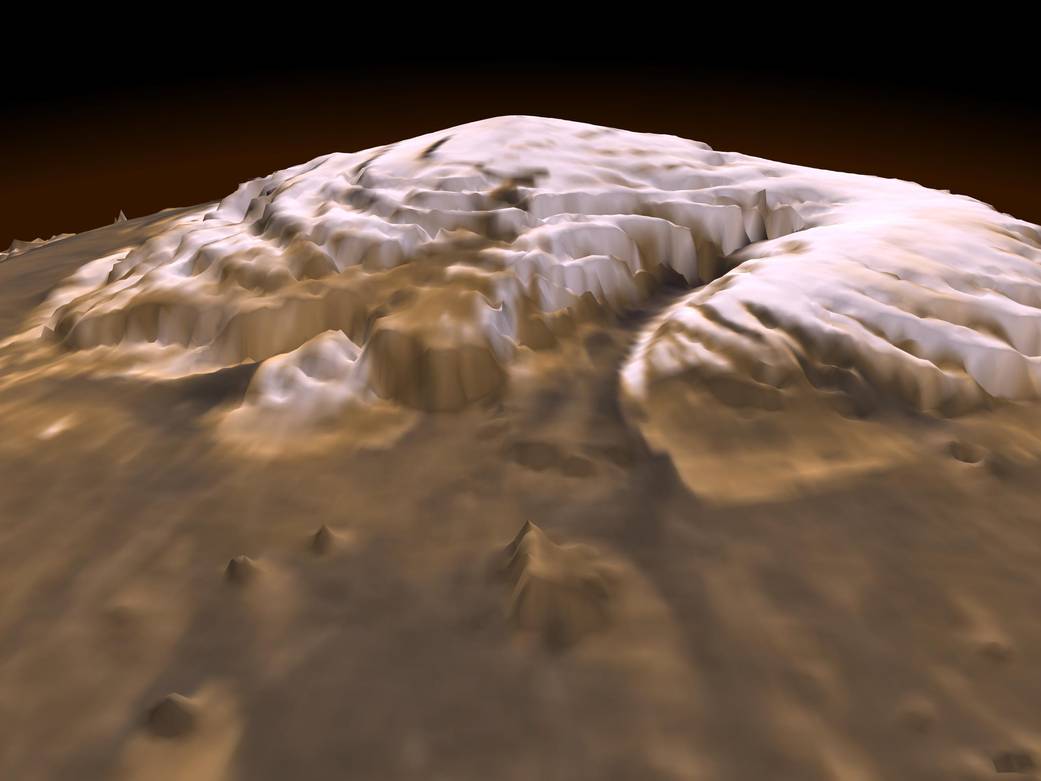
This first of its kind three-dimensional picture of Mars' north pole, taken in 1999, enables scientists to estimate the volume of its water ice cap with unprecedented precision, and to study its surface variations and the heights of clouds in the region for the first time.
This first of its kind three-dimensional picture of Mars’ north pole, taken in 1999, enables scientists to estimate the volume of its water ice cap with unprecedented precision, and to study its surface variations and the heights of clouds in the region for the first time.
Approximately 2.6 million of laser pulse measurements were assembled into a topographic grid of the north pole with a spatial resolution of 0.6 miles (one kilometer) and a vertical accuracy of 15-90 feet (5-30 meters).
This image was generated the by Mars Orbiter Laser Altimeter, or MOLA, an instrument that was aboard NASA’s Mars Global Surveyor.Image Credit: NASA/JPL/GSFC