


For decades, satellites have measured dramatic changes in the world’s forests. These eyes in the sky provide timely information on environmental change and human activity in forests, especially in remote ones. The Jane Goodall Institute has been working with NASA and using Earth science satellite imagery and data in its chimpanzee and forest conservation efforts in Africa, particularly the Gombe region.
The observations and analyses from above aid Goodall’s TACARE program — a community-led approach to conserving the environment while improving and enriching the lives of people who live nearby. Such efforts are crucial to protecting the planet’s biodiversity and achieving sustainable human development of the landscape. Learn more in this video.
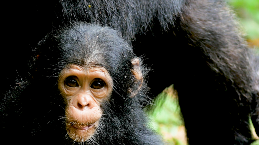
NASA is collaborating with Jane Goodall and her Institute in their work with local farming communities to use Earth science data to map deforestation, monitor chimpanzee habitats, and inform restoration efforts.Credits: NASA/Jane Goodall Institute
Conservation dashboards created with support from NASA, the University of Maryland, Esri, Maxar, and the US Agency for International Development.
Video footage courtesy Jane Goodall Productions.