


![Request for Information – Potential [Placeholder for Prize]](https://assets.science.nasa.gov/dynamicimage/assets/science/psd/solar/2023/09/s/solarsystem_0.jpg?w=1024)


In the Western U.S., in places like the Navajo Nation as seen in this Landsat 9 image, Landsat and other satellite data help people monitor drought conditions and manage irrigation water.
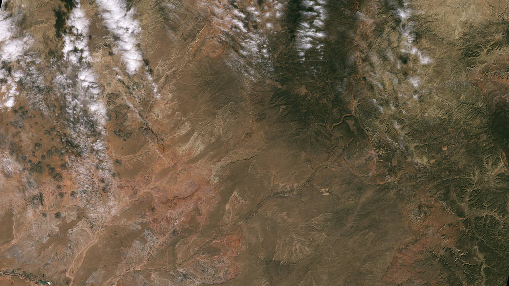
In the Western U.S., in places like the Navajo Nation as seen in this Landsat 9 image, Landsat and other satellite data help people monitor drought conditions and manage irrigation water. With only 85 rain gauges to cover more than 27,000 square miles, satellite data and climate models are filling the gaps to help the Navajo Nation monitor drought severity.
Image credit: NASA/USGS