


![Request for Information – Potential [Placeholder for Prize]](https://assets.science.nasa.gov/dynamicimage/assets/science/psd/solar/2023/09/s/solarsystem_0.jpg?w=1024)


The white sands of Pensacola Beach stand out in this Landsat 9 image of the Florida Panhandle of the United States, with Panama City visible under some popcorn-like clouds. Landsat and other remote sensing satellites help to track changes to US coastlines, including urban development and potential impacts of rising sea levels.
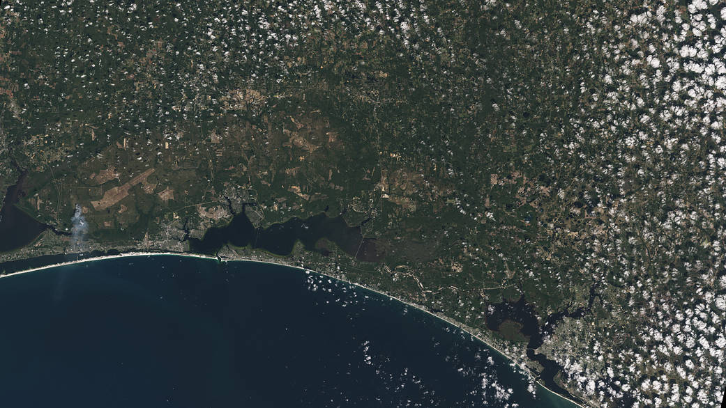
The white sands of Pensacola Beach stand out in this Landsat 9 image of the Florida Panhandle of the United States, with Panama City visible under some popcorn-like clouds. Landsat and other remote sensing satellites help to track changes to U.S. coastlines, including urban development and potential impacts of rising sea levels. From Oct. 31, 2021, the first day of data collection for Landsat 9.
Image credit: NASA/USGS