


Data in the Field
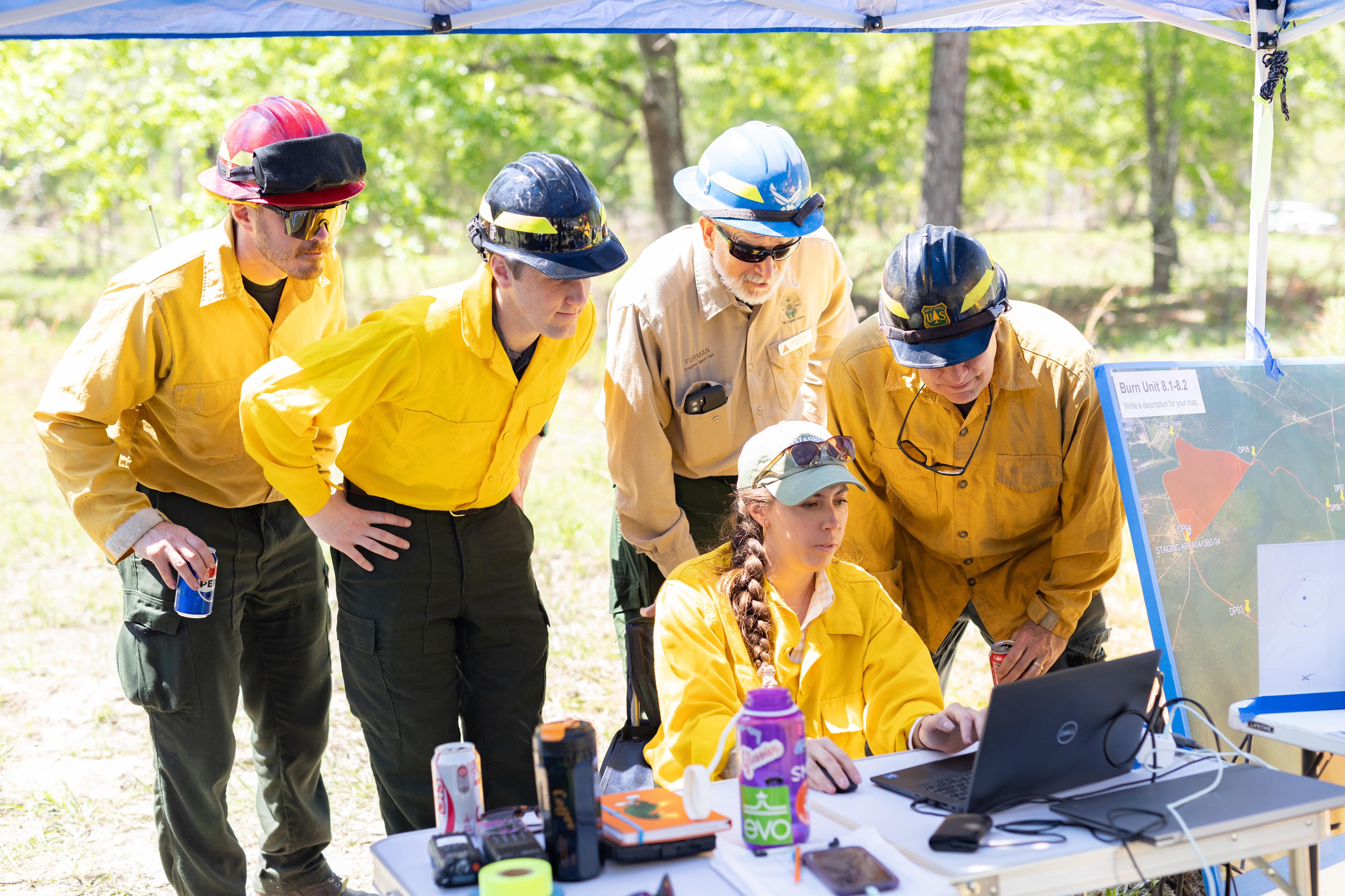
Katherine Mistick, Geospatial Research Associate at the University of Utah, receives near real-time data from the NASA JPL AVIRIS-3 instrument as it flies over a prescribed burn at Fort Stewart-Hunter Army Airfield in Georgia. Wildland fire managers, such as those from the U.S. Forest Service and Ember Alliance gathered around Mistick in this photo, were excited about the possible application of near real-time data during wildfire incidents to map exact burn perimeters, identify active firelines, and find hotspots. This prescribed burn occurred in April 2025 as part of a NASA FireSense research campaign.
Image Credit: NASA/Milan Loiacono
- X
https://www.nasa.gov/image-detail/milanloiacono-firesensefortstewart-04-2025-2100/
Image CreditNASA/Milan Loiacono
Size6000x4000px