


Earth Science Radar Imaging Mission Travels to Central and South America
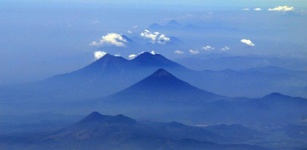
This photo of volcanoes in Guatemala was taken from NASA's C-20A aircraft during a four-week Earth science radar imaging mission deployment over Central and South America.
- X
https://www.nasa.gov/image-detail/earth-science-radar-imaging-mission-travels-central-south-america/
Size1041x509px