


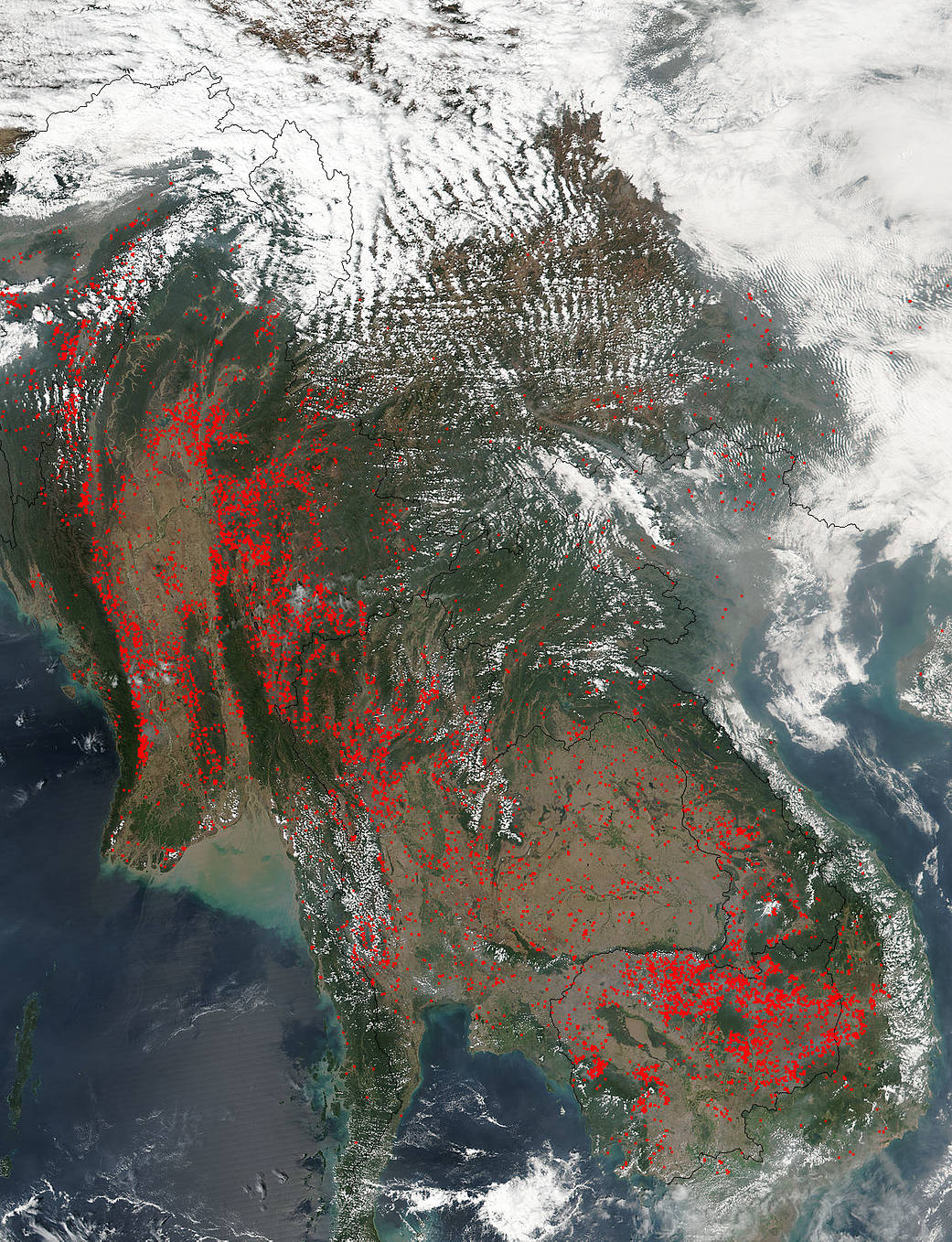
A closer look at the biomass burning in Myanmar, Thailand, Cambodia, Vietnam and Laos shows that it has not slowed down since the last pass by the Suomi NPP satellite on February 28, 2017. In fact, it seems to have grown larger. This type of agricultural land clearing is very usual in this part of the world. Farmers set fires to clear fields for spring planting in the area are seen as red dots in this image. Each dot represents an area which has a higher temperature than the surrounding area and is usually indicative of fire. The fires return nutrients to the soil and clear the ground of unwanted plants and undergrowth. The Suomi NPP satellite’s Visible Infrared Imaging Radiometer Suite (VIIRS) instrument captured a look at the multitude of fires and residual smoke on March 03, 2017.
The Suomi NPP satellite is a joint mission between NASA, NOAA and the U.S. Department of Defense.
NASA image courtesy Jeff Schmaltz, MODIS Rapid Response Team. Caption: NASA/Goddard, Lynn Jenner