


Since the launch of the first Landsat satellite in 1972, NASA and its partners have mapped agriculture worldwide and provided key input into global supply outlooks that bolster the economy and food security.
Now NASA is increasing its decades-long investment in U.S. agriculture through the launch of NASA Acres, a new consortium that will unite physical, social, and economic scientists with leaders in agriculture from public and private sectors. They will have the shared mission of bringing NASA data, science, and tools down-to-Earth for the benefit of the many people working to feed the nation.
“For decades, NASA has collected data in space to improve life on planet Earth,” said NASA Administrator Bill Nelson. “Now these observations can be used not only to better understand our home, but to make climate data more understandable, accessible, and usable to help support agricultural business and benefit all humanity.”
NASA Acres is commissioned under the agency’s Applied Sciences Program and led by the University of Maryland. The consortium approach brings together public and private stakeholders and allows rapid actions in delivering NASA Earth observation data into the hands of U.S. farmers.
“Farmers and ranchers are looking for information to help them make all sorts of decisions, from water use to what crops to plant and when,” said Karen St. Germain, director of NASA’s Earth Science Division. “NASA is always looking for new ways to help people find and use science to inform their decisions, so we’re very excited about this new consortium to help America’s farmers use NASA Earth science data.”
Initial projects include aggregating and analyzing years of satellite data with state-of-the-art machine learning and artificial intelligence tools. Such efforts could help optimize scheduling for fertilizer application and irrigation, support early detection of pests and disease, monitor soil health, and provide information tools to support local food production.
Other projects will focus on using open science to improve mapping capabilities that support user-driven applications. The consortium will help us understand how U.S. agriculture is evolving and will shed light on effective management strategies to build economic, environmental, and productive resilience to global change.

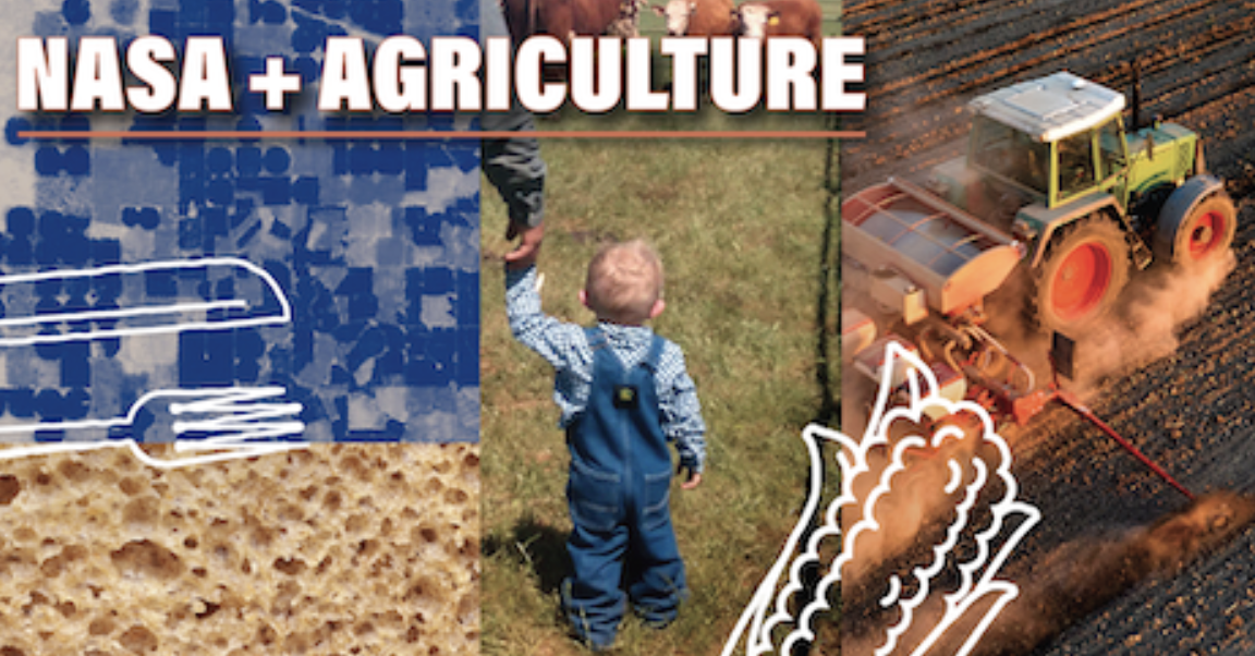
U.S. farmers and ranchers have their own space agency
“While we have seen enormous value in the use of NASA data and tools, we also know that what works in one place can’t just be picked up and dropped in a new place,” said Alyssa Whitcraft, the director of NASA Acres. “To bring the greatest value of satellite data to U.S. agriculture, we have to start with place-based knowledge. Pairing that with satellite data unlocks powerful insight.”
The United States is one of the world’s top agriculture producers and exporters. According to the U.S. Department of Agriculture, the nation’s farms, orchards, ranches, and supporting industries provide more than 10% of U.S. jobs and 5.4% of the U.S. gross domestic product.
In recent years, NASA has been working to ensure that members of the U.S. agriculture industry are connected directly to the agency’s agriculture work, particularly through its Earth Applied Sciences program. In 2022, agency scientists including St. Germain made a “Space for Ag” tour across Nebraska and Kansas, and they have continued to have a presence at the nation’s largest farming convention, the Commodity Classic.
NASA Acres builds on the success of NASA Harvest, a globally focused consortium also based at the University of Maryland.
“We want farmers to know that their space agency has an agriculture program that is focused on understanding their needs and finding solutions with them,” said Brad Doorn, who leads the NASA agriculture program area that oversees NASA Acres and Harvest.
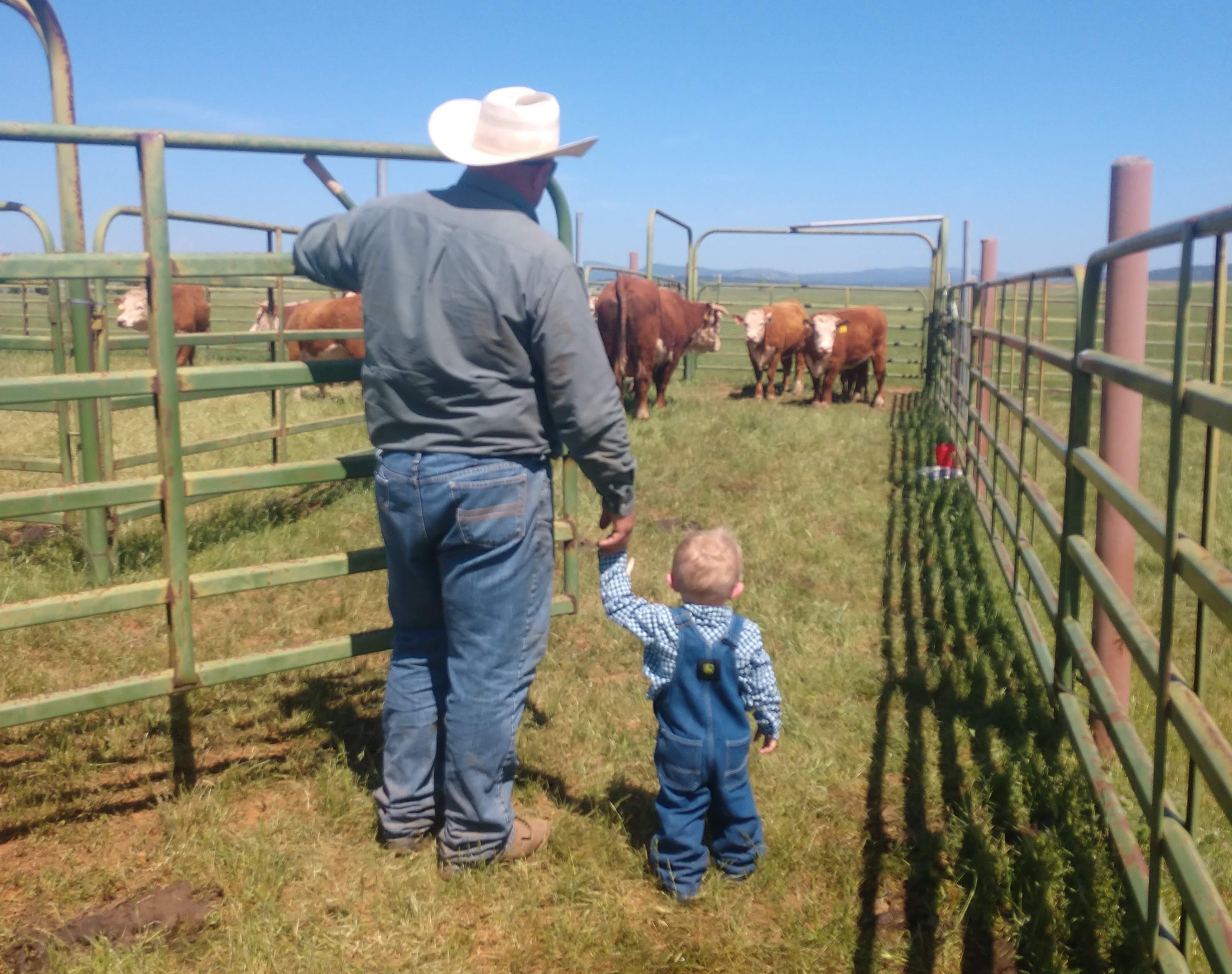
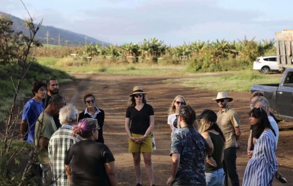
Whitcraft emphasizes that NASA Acres relies first and foremost upon those closest to the land. NASA Acres is already working with small-scale, independent farmers in Maui County, Hawaii; specialty crop growers in California and New York; ranchers in Colorado; and farmers regenerating marginalized and degraded agricultural lands across the country.
“My mission has always been to feed people—not just in my home, and not just today, but looking ahead for the many generations to come,” said Whitcraft. “U.S. agriculture is a cornerstone of the global food system, and it is awesome to have this opportunity with NASA to benefit my own ‘backyard.’”
By Keelin Haynes, NASA Acres