By Jim Cawley
NASA’s John F. Kennedy Space Center
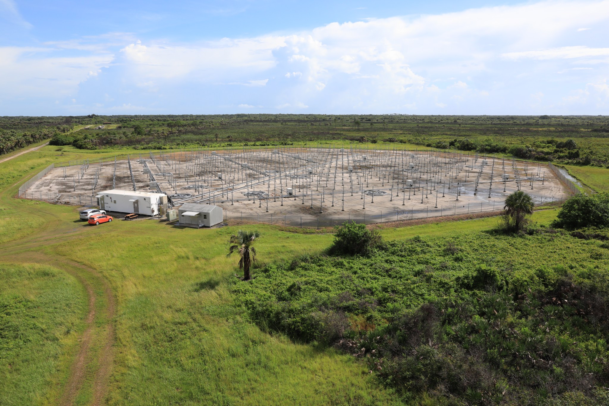
Meteorologists at NASA’s Kennedy Space Center in Florida are over the Moon about a recently updated radar set up for Artemis I. Located on five acres near the Launch and Landing Facility, the Tropospheric Doppler Radar Wind Profiler is the only instrument of its kind in operation on the Eastern Range.
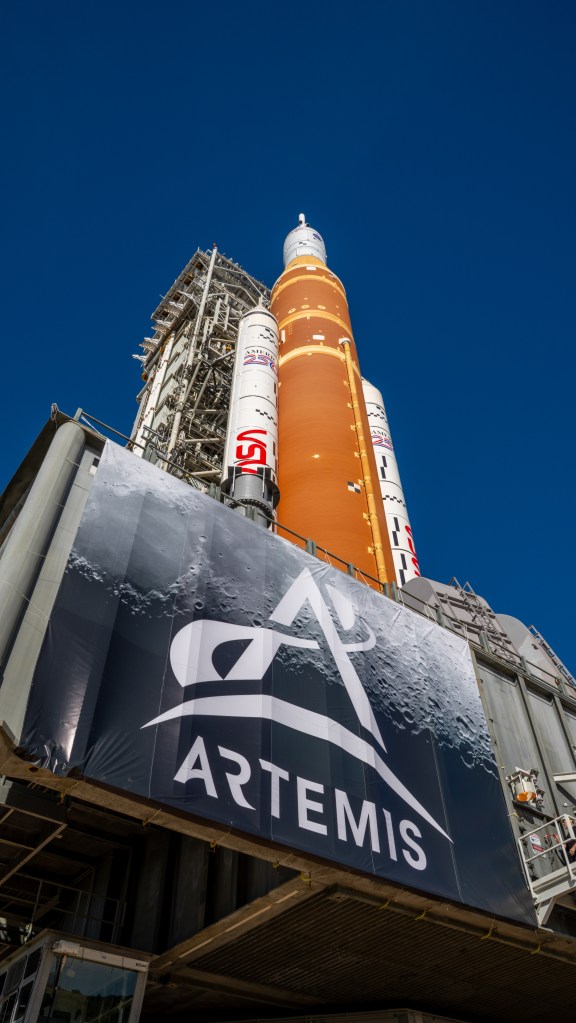
The radar will be used as the primary upper level wind instrument for NASA’s Artemis missions, including Artemis I, the first launch of the agency’s Space Launch System (SLS) rocket and the Orion spacecraft on a flight beyond the Moon scheduled for later this year.
The wind profiler consists of 640 antennae operating at a frequency of 48 megahertz. It delivers data – from 6,000 to 62,000 feet – every five minutes. This far outpaces weather balloons, which take approximately an hour to deliver the same information.
NASA meteorologists appreciate the more rapid updates on launch day as they monitor the fueling and other countdown milestones preparing a rocket for launch.
“This instrument helps you buy launch availability, and that’s a major thing,” said Kennedy Weather Officer Kathy Rice. “Because it catches changes occurring in upper level winds more quickly than weather balloons, it gives you a better chance of getting off the launch pad and getting up into space. And that’s the mission.”
While the Artemis I weather team still uses balloons to measure the temperature, relative humidity and air pressure, the wind profiler is a better instrument for measuring winds. The wind profiler is located closer to the launch pads with the radar more aligned with the rocket’s flight path. Balloons can go offshore as much as 100 miles in an hour, especially during winter months when winds are blowing strong in the jet stream from west to east.
The instrument works by shooting radar beams into the sky, where it picks up on particles of dust, clouds, and moisture within turbulent eddies. The more wind, the better the data, particularly in higher altitudes. The radar has proven to be effective to 62,000 feet, providing fast, accurate readings from 40,000 to 50,000 feet, where jet streams are prevalent.
“Upper level winds are a big deal for launches. They have a history of being problematic, and that’s why we are major proponents of this instrument,” Rice said. “We can get data so close to launch – near T-zero. And it’s definitely reliable.”
The instrument already has proven effective in launches from Kennedy and Cape Canaveral Space Force Station. In one instance, Rice said the radar revealed a “no-go” situation due to upper level winds that had not yet been reported from the balloon. Post-analysis showed that it was a good scrub.
The wind profiler has no issues operating in rain, although lightning could cause interference if it occurred directly over the radar. At that point, a liftoff likely would already be in “no-go” status for violating lightning launch commit criteria.
During a recent countdown simulation at Kennedy, meteorologists were tracking the movement of the upper portion of nearby thunderstorms, called anvils. If these clouds are electrically charged, they pose a danger to launch if the vehicle intercepts natural or rocket-triggered lightning during ascent. Rice said they were able to determine the speed and direction of the clouds by using the instrument’s data at 40,000 to 45,000 feet. This provides the launch weather team with critical timing information that helps determine when unfavorable weather conditions may impact important steps leading up to launch, such as tanking, as well as the actual launch.
The radar also can provide scientists with data following a close pass or direct hit from severe weather.
“One of the unique benefits is looking at events like tropical storms and hurricanes,” said Kennedy Meteorologist Kristin Smith. “It could tell you more information about the storm’s evolution, how or what the structure looks like, and the more critical parts of the storm.”
Smith and Rice are hoping other launch customers will take advantage of the radar’s data in the near future.
“It’s just amazing being able to have this technology that can assist with providing the observations in real time and seeing how it can be applied toward operations such as launches,” Smith said. “It’s definitely useful to have such reliable information sooner than the balloon data that we relied on for so long.”
NASA’s original Doppler radar wind profiler was decommissioned in 2014. That paved the way for the state-of-the-art wind profiler, which was activated in 2016. It was operationally accepted for the SLS rocket in 2018. The Artemis I launch will be the first time that the recently updated radar will be used for a NASA-built rocket.
Artemis I will be the first test of the SLS and the Orion spacecraft as an integrated system prior to crewed flights to the Moon. NASA’s Artemis missions will land the first woman and first person of color on the lunar surface, establish a long-term presence at the Moon, and prepare for human missions to Mars.

