


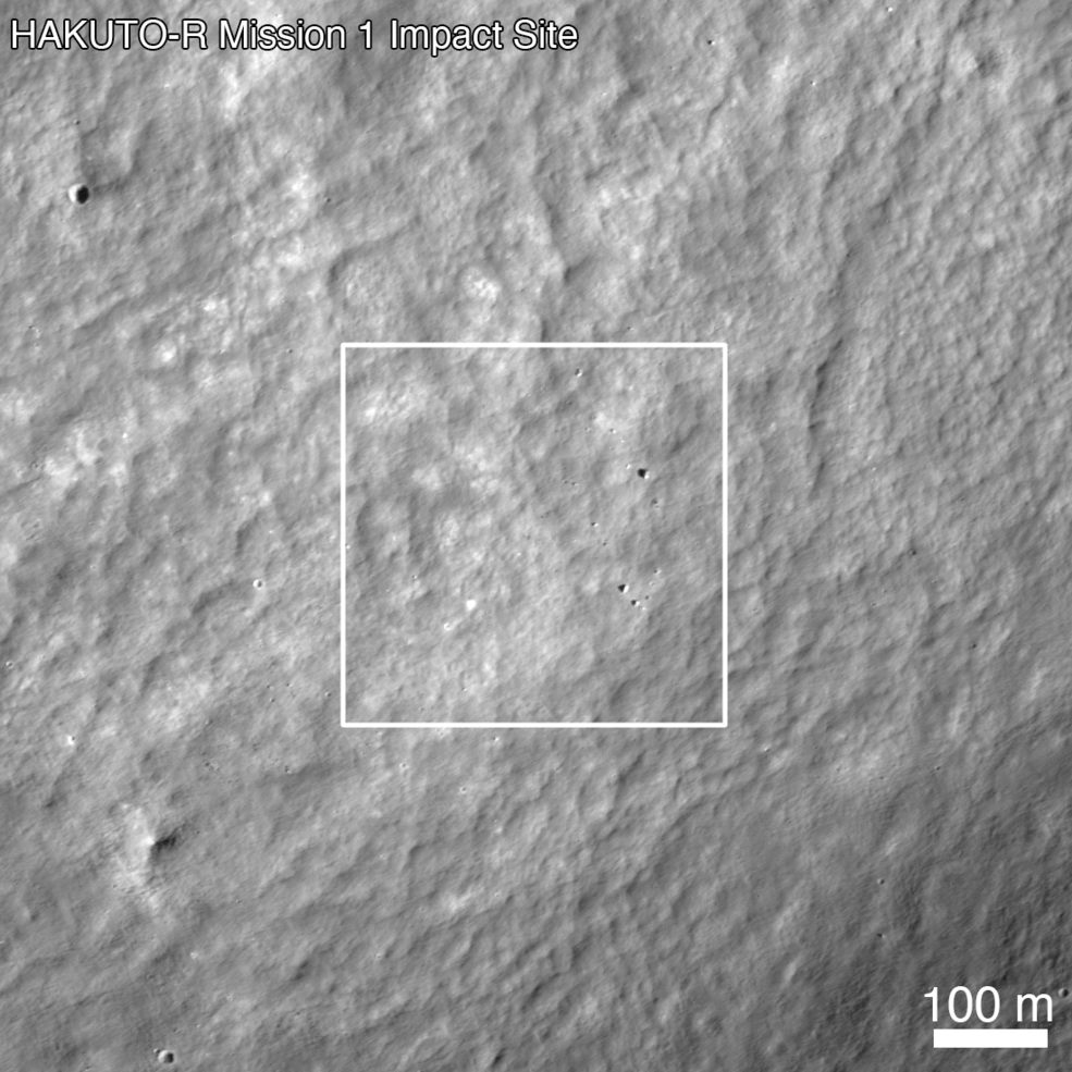
The ispace HAKUTO-R Mission 1 lunar lander was launched on Dec. 11, 2022, a privately funded spacecraft planned to land on the lunar surface. After a several-month journey to the Moon, the spacecraft started a controlled descent to the surface to land near Atlas crater. The ispace team announced the following day that an anomaly occurred, and the HAKUTO-R Mission 1 lunar lander had not safely touched down on the surface.
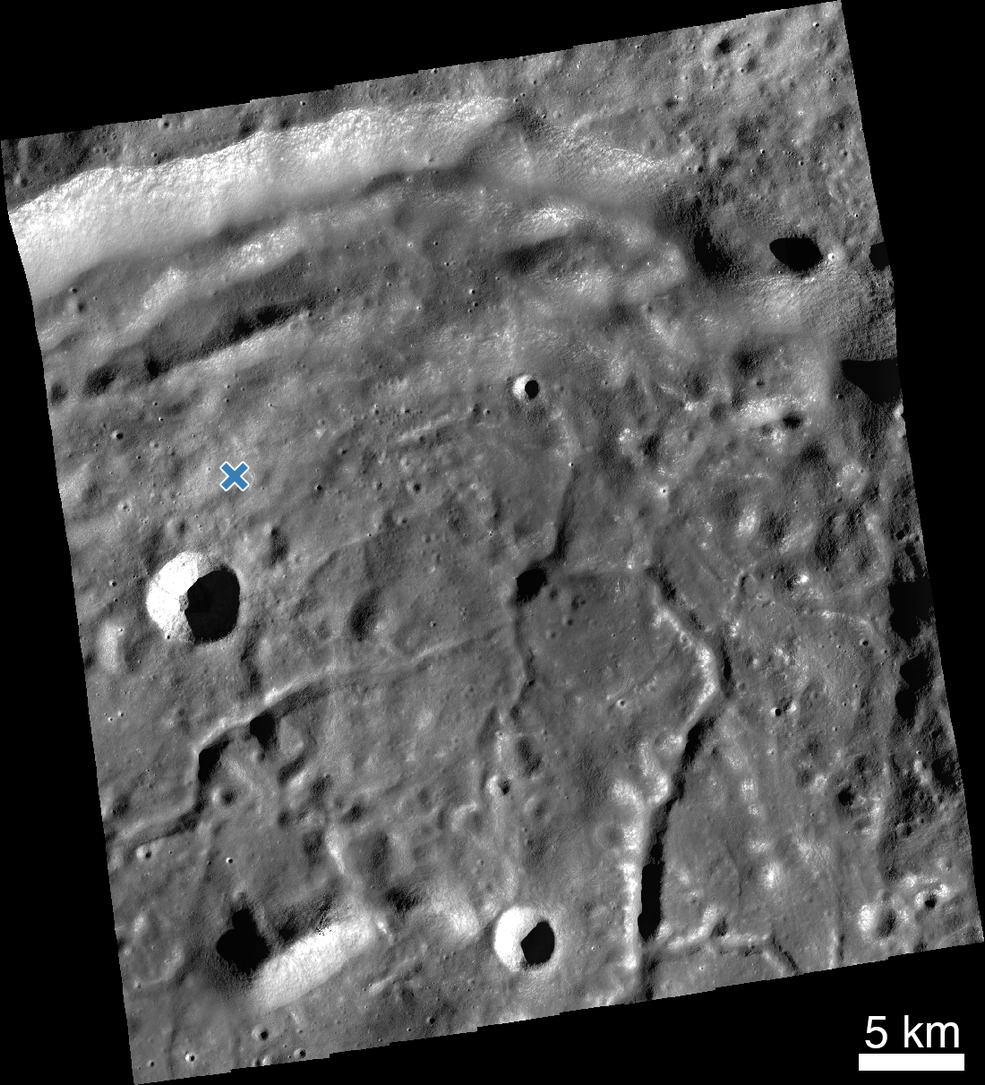
On April 26, 2023, NASA’s Lunar Reconnaissance Orbiter (LRO) spacecraft acquired 10 images around the landing site with its Narrow Angle Cameras. The images covered a region roughly 40 km by 45 km (about 25 miles by 28 miles). Using an image acquired before the landing attempt, the LRO Camera science team began searching for the lander.
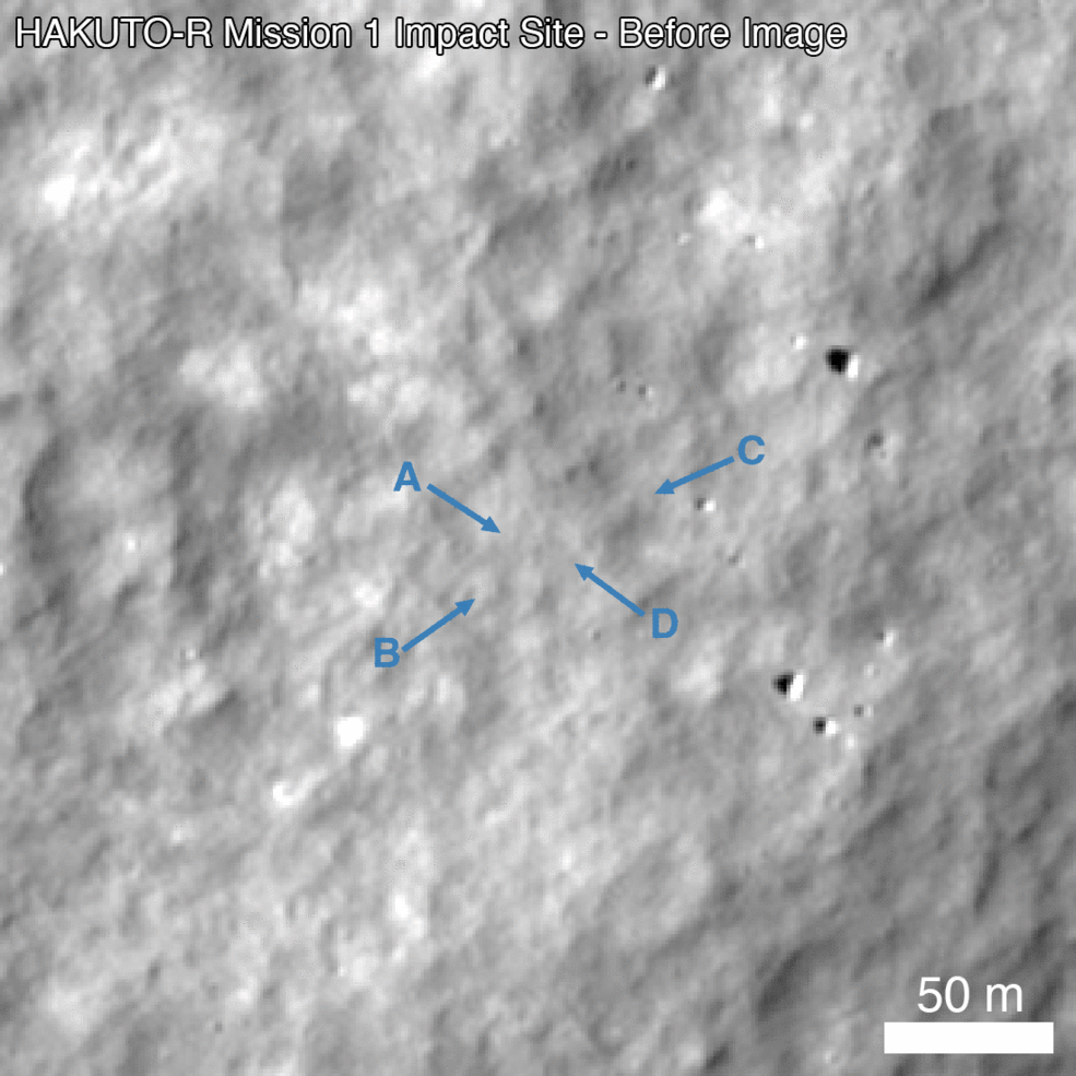
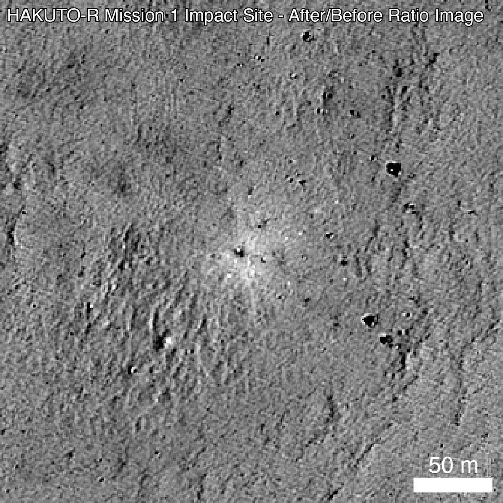
From the temporal image pair, the LRO Camera team identified an unusual surface change near the nominal landing site. The image shows at least four prominent pieces of debris and several small changes (47.581 degrees North latitude, 44.094 degrees East longitude). The central feature in the image above shows several bright pixels in the upper left and several dark pixels in the lower right. This is the opposite of nearby boulders, suggesting that this could be a small crater or different parts of the lander body. This site will be further analyzed over the coming months as LRO has the opportunity to make additional observations of the site under various lighting conditions and viewing angles.
Before image without annotations
After image without annotations
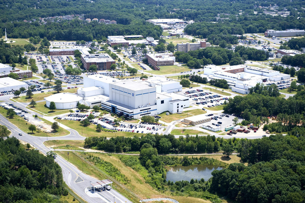
LRO is managed by NASA’s Goddard Space Flight Center in Greenbelt, Maryland, for the Science Mission Directorate at NASA Headquarters in Washington. Launched on June 18, 2009, LRO has collected a treasure trove of data with its seven powerful instruments, making an invaluable contribution to our knowledge about the Moon.
Media contact:
Nancy Neal Jones
NASA’s Goddard Space Flight Center, Greenbelt, Md.